Little Alaska Five Peak Tour 5.8.11
(Last Updated On: )
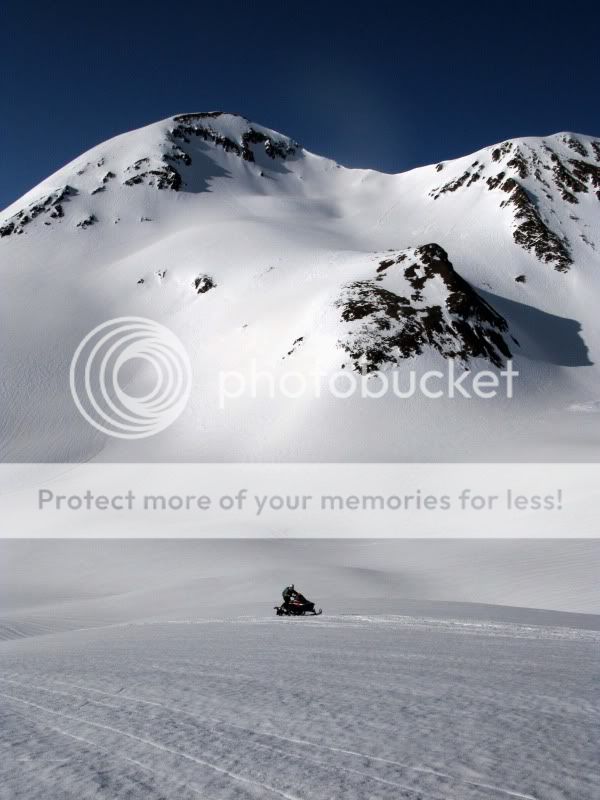
After consecutive days on Pyramid, Sopris, and Ruby chute (TR hopefully coming soon), Brittany and I were joined by Tom Runcie and we set our sights on “Little Alaska”. Little Alaska is an informal name given by Marble-area skiers for the group of peaks in the upper Yule Creek valley which are quite impressive from the Marble zone. Lou has a great panorama shot of the area on Wildsnow. For Crested Butte skiers, there is an all-too-brief period when this zone is easily accessible via snowmobile once the snow is set up enough for both traction and avalanche stability. On my previous trips to ski “The Blob” and “Ant“, the weather hadn’t been overly cooperative and I had to settle for some low-visibility ski descents, but thankfully that wasn’t the case on this near-perfect day.
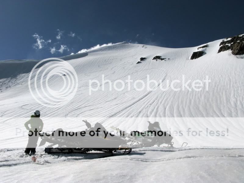
So often on my snowmobile, I’m reminded of “Oh, The Places You’ll Go!” by Dr. Seuss. I really love my snowmobile. Best piece of ski gear I own. Tom:

Time for bootpack #1, Purple Mountain:
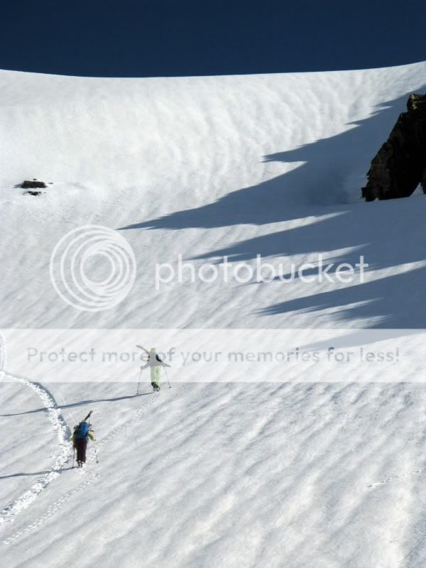
As has been the case on many of our adventures, our friends were with us in spirit. We miss you Alison K.

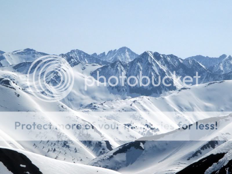
One of the tough things about backcountry skiing for so long in one place (15years in Crested butte for me) is that it is getting increasingly difficult to find new lines and new challenges close to home. On the other hand, I have spent very little time on the West side of the Ruby Range, and it looks like I should change that:
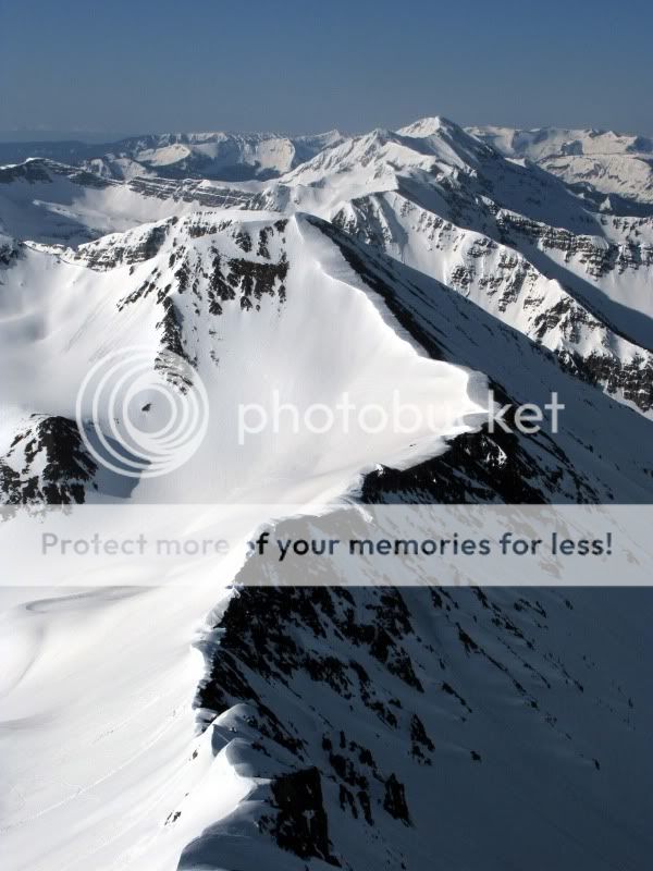
If only access to the bells and Pyramid wasn’t such a pain from Crested Butte:
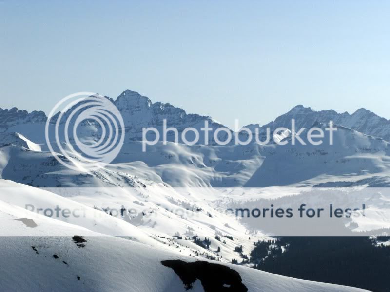
Same for Precarious and Cathedral:
Purple Mountain (12,958′) was still solidly frozen as we skied the shaded West Face towards The Blob (UN 12,781′). A quick boot got us to the summit of The Blob. Tom:
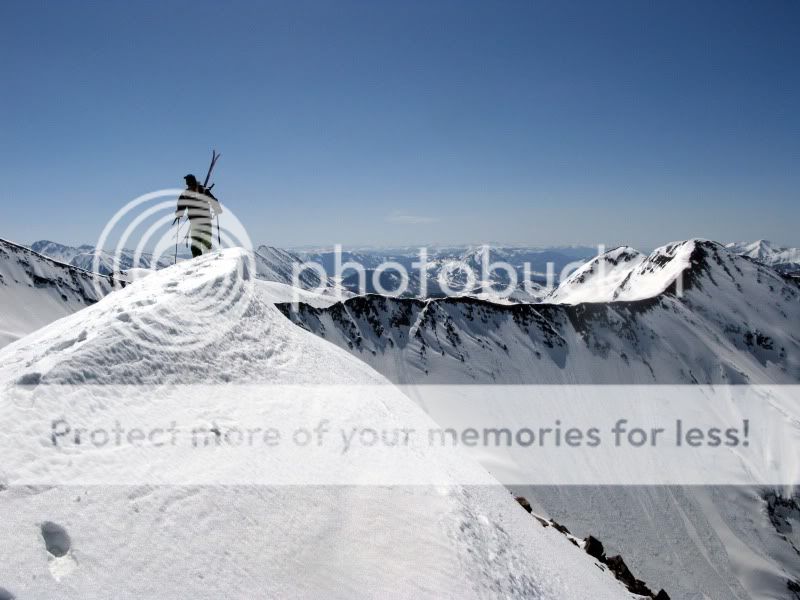
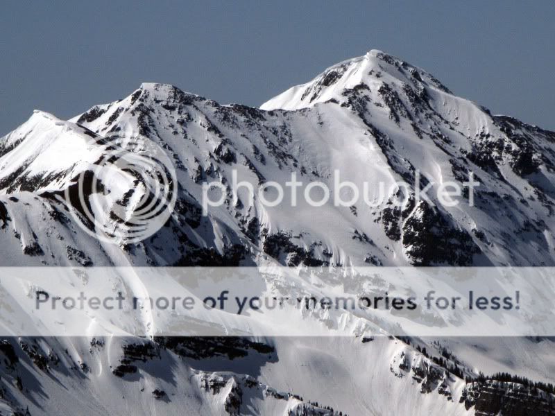
Our main goal for the morning was a descent of the North face of “The Nipple” (UN 12,789′), a line I have wanted to ski for years. Ant (UN 12,655′) is the farther peak.
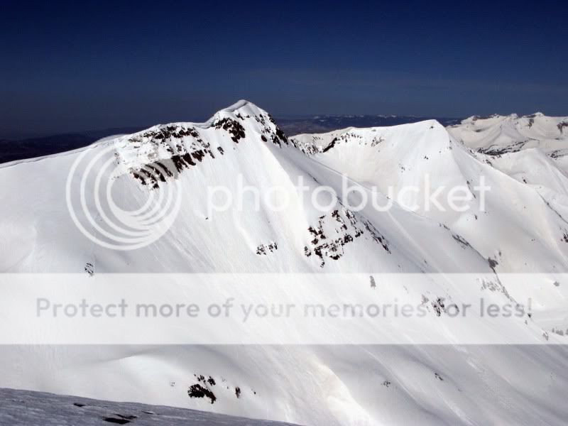
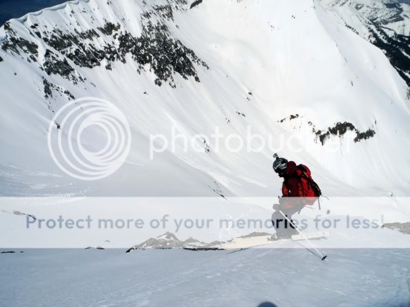
While we wanted to ski the North face directly off the summit, concerns about the cornices and snow beneath them led us to a short ski of the West face and a traverse back to the North face. The snow was recycled and rippled of a powder-like character. In other words, excellent. Frank dropping off the summit to the West:
Brittany on the compacted West side:
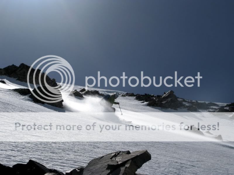
Brittany near the bottom, with Ant behind:
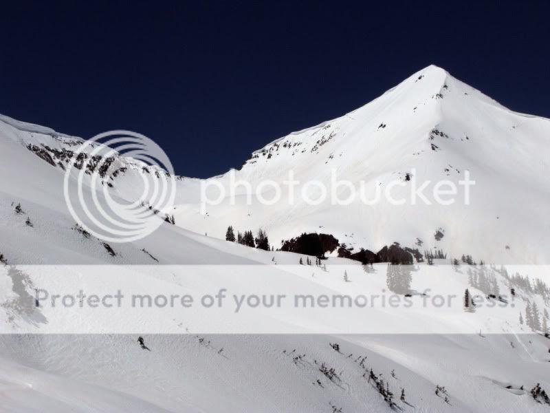
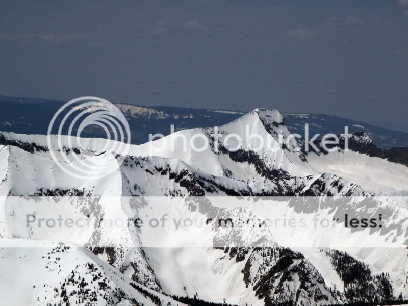
While the weather forecast was calling for very warm temps, the reality on the snow was a fairly cool and windy day, so rather than call it quits we decided to head up Treasure Mountain, a massive mountain and the highest in the area at 13,528′. A full descent of the North side of the peak through Bear Basin all the way to the townsite of Crystal 4,000’+ below remains high on my list. The climb up the South side was a bit of a slog, but the views were worth it. Capitol:
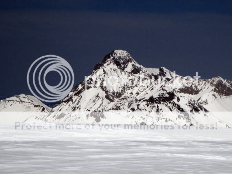
And a peak that’s right at the top of my list, but won’t name out of respect for some local landowners:
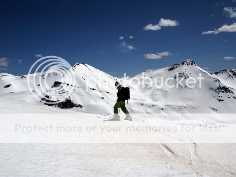
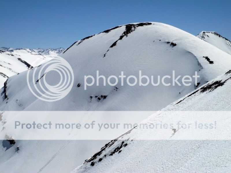
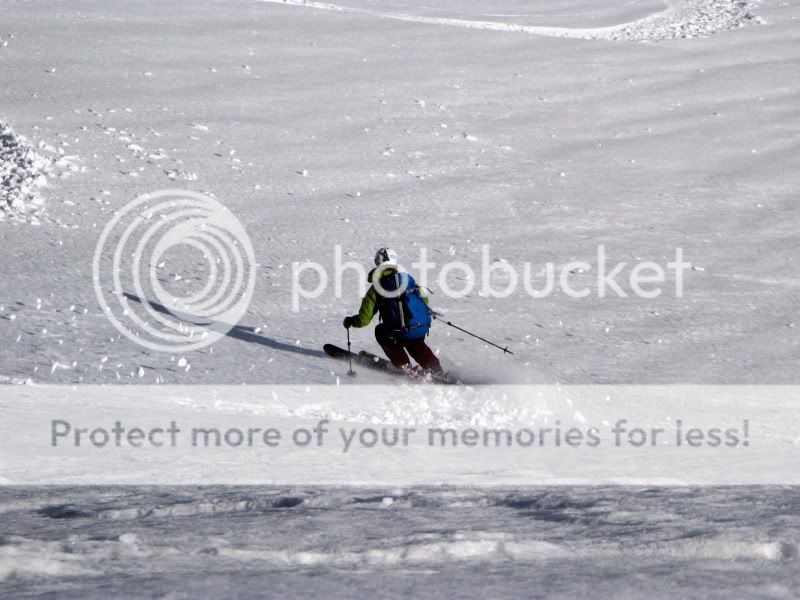
Even though it was now well into the afternoon, the SW faces of Treasure were still frozen solid. More Easterly exposures were a bit wet, but still good skiing. Brittany out in front:

Tom in front of The Blob and Nipple:
Looking down Yule Creek and Ant:
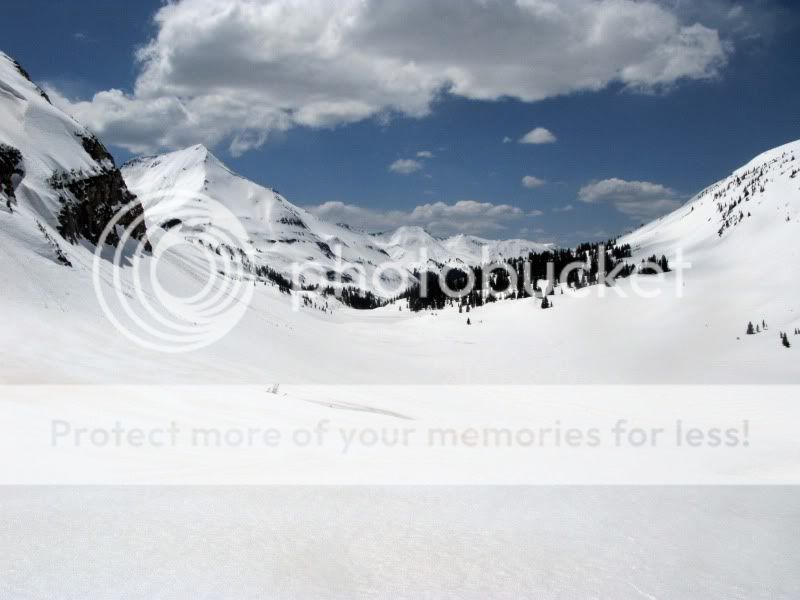
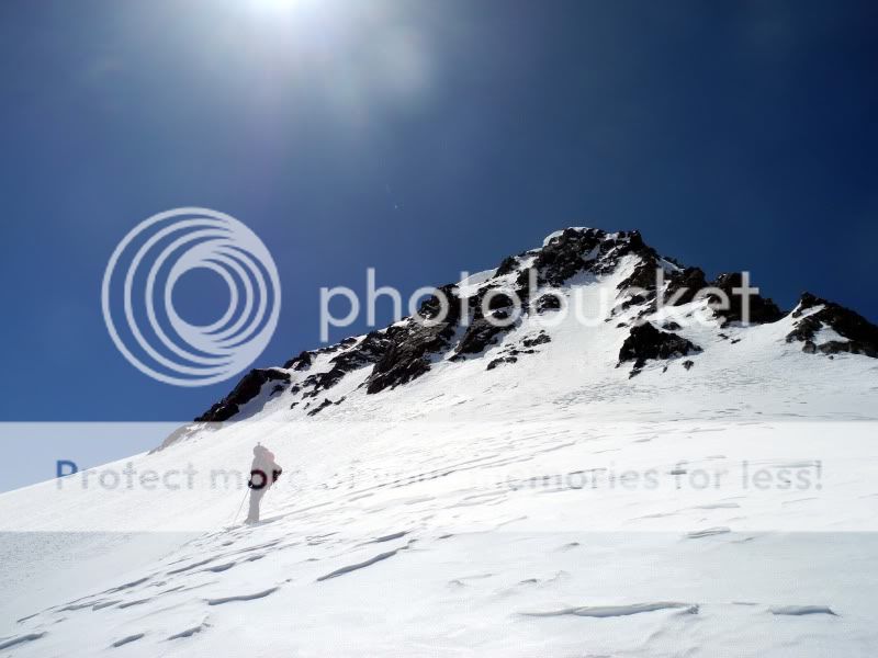
All that was left now was another ascent of Purple Mountain. The light got amazing near the summit:
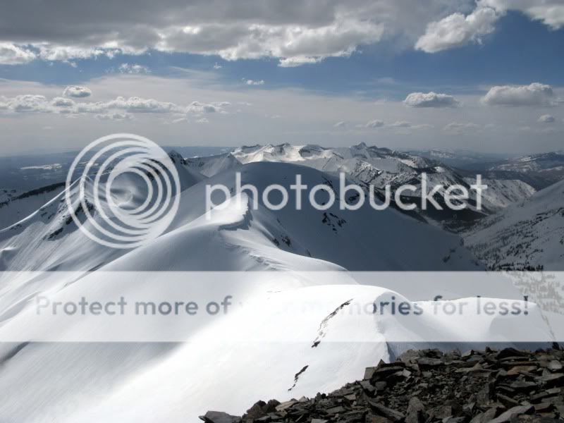
Brittany, with Treasure behind. Our tracks are barely visible on the left of the left bowl:
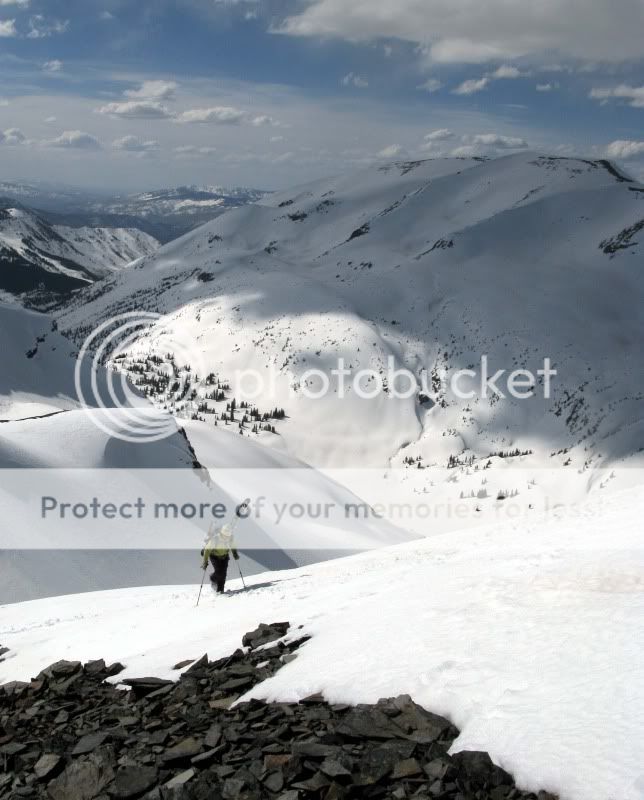
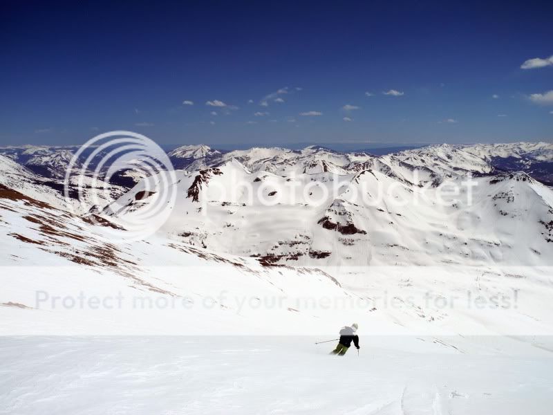
Tom brings it home down Purple’s South face to the sleds. Nearly perfect around 5pm:

Yeah Brittany, we just did that. Somewhere around 5,500′ of vert skied and 10 miles or so. Great day!
Support 14erskiers and yourself. Get Free Shipping over $45 at Altrec Outdoors![]()
- Bluebird Backcountry Ski Area - February 14, 2020
- Gear Review: Smith 4D MAG Goggles - January 6, 2020
- Gear Review: LEKI Tour Stick Vario Carbon Ski Poles - December 9, 2019

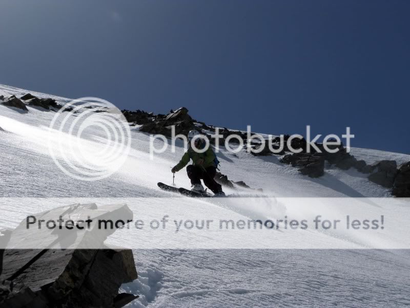
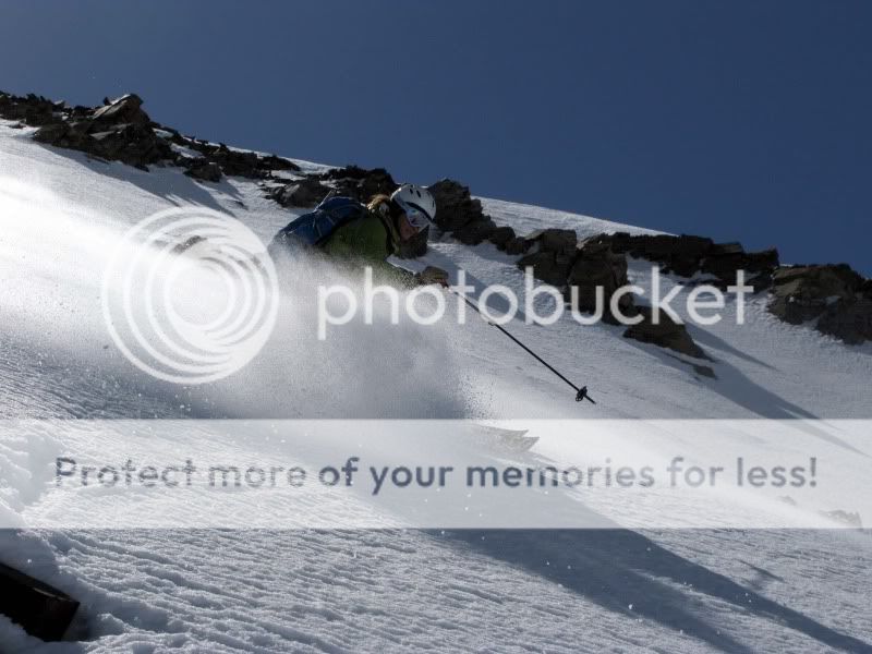

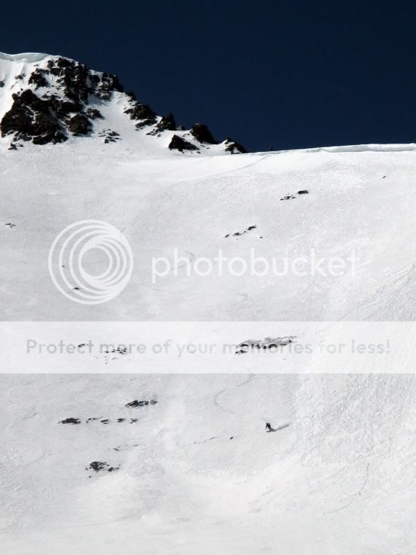
“Easterly exposures were a bit wet…”
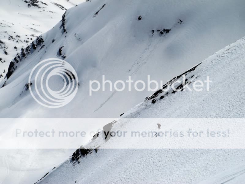
That looks way too wet and dangerous. The two tracks to the left are right below a big cornice, too, right? Wow. That’s just silly. Glad you got out safely. Looks like a fun day.
Hi Honesty, thanks for your comment. Honesty is a good word- dishonest would have been to leave that photo out. I considered trying to explain the photo within the TR, but I was hoping some one would comment, and you did. I find that it’s hard to get the full story from a photo, especially one zoomed in like the one you are referring to. You might notice, however, that the wet sloughs we started quickly stopped- that’s due to the low slope angle. Also, Brittany’s next turn was a traverse to the looker’s right onto the more SW exposure 20′ away- an exposure which was still frozen solid and safe- though not as much fun to ski as the wet stuff on the East. In other words, the danger was really quite minimal.
Hey Frank. Brittany mentioned this day to me, saying that you just kept skiing and skiing and skiing. Sounds awesome! Great pix too. I didn’t even ski that day, I was still in recovery mode.
Frank,
Sweet, looks like a really fun day out with lots of good skiing. Let me know when you go for your “unnamed peak” I’ve always eyed that one too 😉 .
When I worked for Outward Bound out of Marble, back in the day, old maps from the school dating back to 1961 (1st OB school in US) named those peaks your calling “Blob” and “Ant” after some of the original mountaineers and founders of the school, namely “Joe Nold Peak” & “Tap Tapley Peak” with that whole area being known as “Lightning Strike Ridge”….some old timers still call me that…….obviously not official….but just some ol mountain history for your archives from folks admiring these same peaks and climbs 50+ years ago….
-Jayson
That’s cool Jayson, I like all the different names for these peaks. That unnamed line is caked right now, just need some stability and clear weather…