TR: Volcano Travel Day (15 June 2013)
(Last Updated On: )
After skiing Shasta’s West Face, Pam and I were ready to move on rather than stick around to try some other Shasta lines. We knew we had to head north to find better conditions. But, the weather was not looking ideal. A low pressure was sitting off the coast of the Pacific Northwest, spinning, and not really moving anywhere. The northern weather would be a bit dicey until this system decided to move through.
The southern part of the more northern mountains seemed to be our best bet – meaning central Oregon’s Cascades. So, we decided to head to the Three Sisters. We took out my Van Tilburg book and decided to access the North Sister via Pole Creek Road.
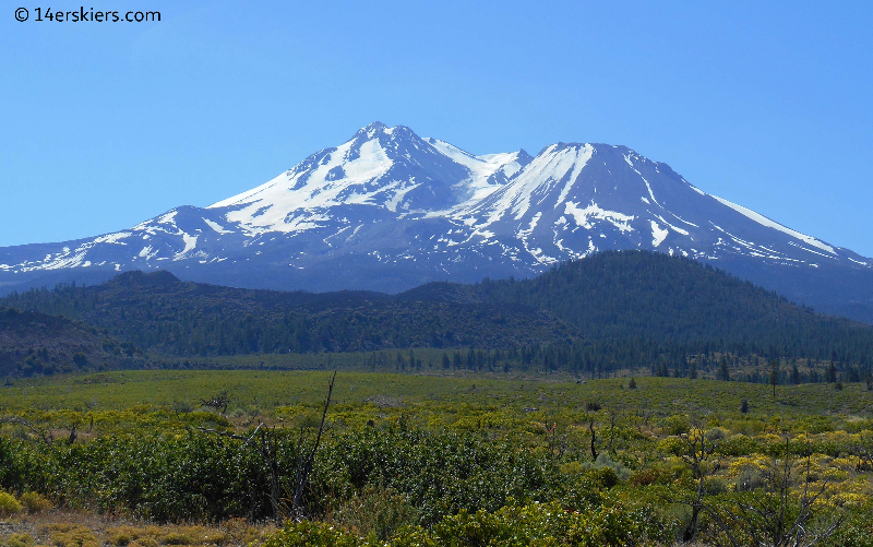
So, north we went, enjoying the views of the many Cascade volcanoes along the way. Shasta and Shastina as seen from the northeast, with the Whitney Glacier running through the middle of them.
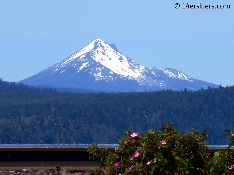
McLoughlin was one of the volcanoes on our list, but knowing that the southern Cascades had a low-snow year, we decided to head further north. Still, this picture of the east face seems to show that it could have skied well!
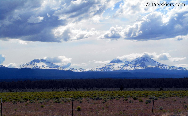
Then we finally saw them- The Three Sisters. The Three Sisters were originally named by the early settlers as Charity, Hope, and Faith. But, these names did not stick. Today, they are better known as South Sister, Middle Sister, and North Sister (left to right in the photo below).
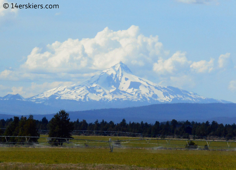
Jefferson also loomed above us. This one is high on my list, but not a peak we wanted to try with the somewhat questionable weather in the forecast over the next few days.
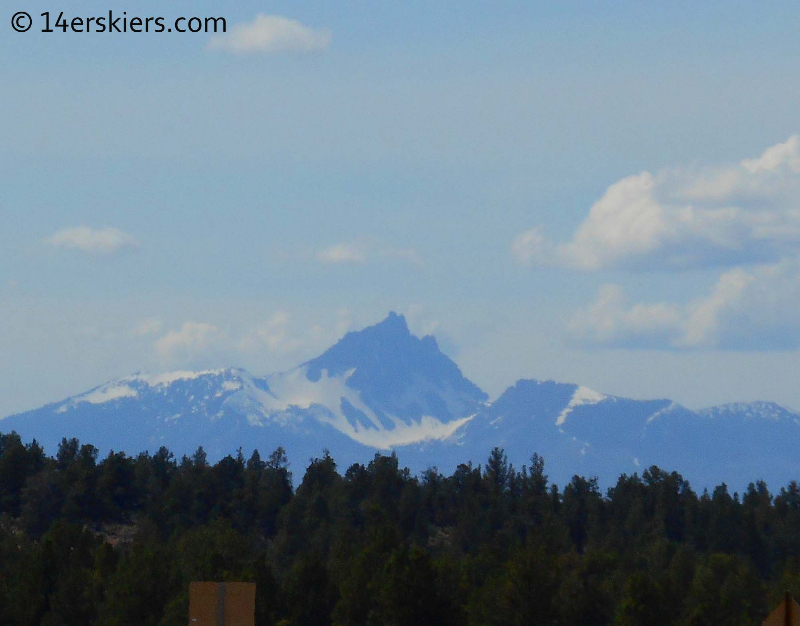
The Three Fingered Jack is one of the peaks that is easily noticeable in the area, but better skied earlier in the spring.
From the town of Sisters, we turned toward the Pole Creek Road and access to the North Sister. We traveled miles down this Forest Service Road before we suddenly came to this:
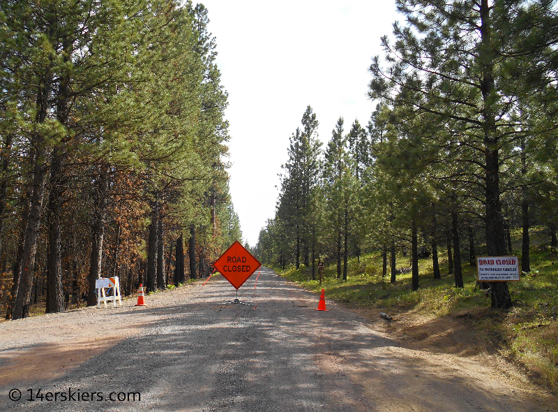
What? The road is closed? Yes, it was closed 5 miles before the actual trailhead due to “public safety” and “restoration”. It didn’t take us long to realize that a forest fire had blazed through the area the year before. The forest fire began on Sept. 9th, 2012 with a lightning strike, burned almost 27,000 acres, and wasn’t contained for about 6 weeks.
In retrospect, we should have checked with the Deschutes National Forest about possible closures. But, closures this time of year are rare. We didn’t really suspect that there would be a closure, but there was. Still, we were determined. With sporadic access to the internet via our cell phones we began using Goggle Maps and the closure map to try to navigate our way around the closed areas and closer to the trailhead. We knew it was possible, but some of the roads were a little too rough for our cars. So, after admitting somewhat demoralizing defeat, we decided for Plan B- South Sister via the Southwest Ridge.
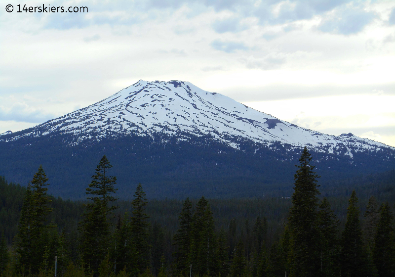
It took us about an hour and a half to drive our way back toward the southern part of the Sisters. On the Cascade Lakes Highway, we took time to admire the view of Mount Bachelor.
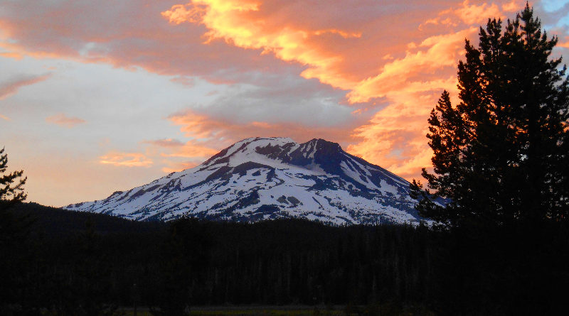
After checking out the trailhead at Devil’s Lake was indeed clear and good to go, we went back on the road a couple of miles to camp at the beautiful Sparks Lake campground. Who could beat this view, with South Sister towering over us?
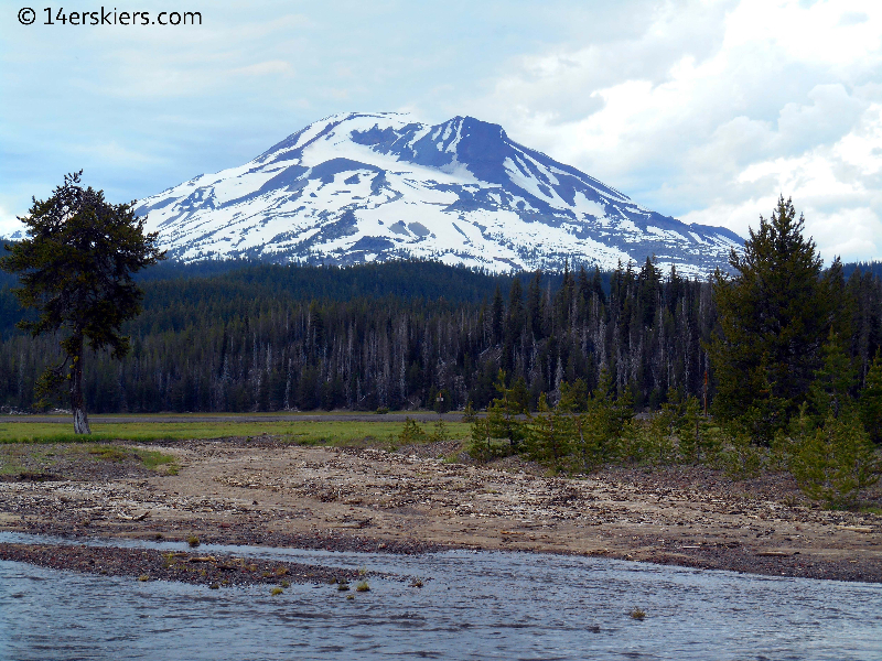
In an area where so many campgrounds are caved under giant trees, it was nice to have an open and scenic view. The Soda Creek passes through the campground as well.
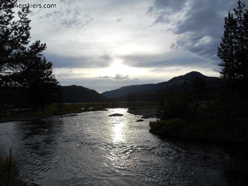
But, the best was yet to come. The sunset was truly amazing!
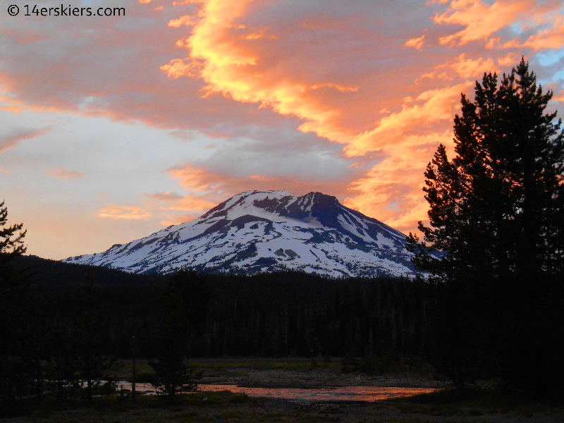
We knew South Sister would have good things in store for us the next day 🙂
Check out other TR’s from this Pacific Northwest trip!
Diamond Peak
Solstice Ski on Mount Bachelor
Newberry Crater
Crater Lake
Mount Thielsen
South Sister
Volcano Travel Day
Shasta’s West Face
Lassen Peak
- Mount Buckskin (17 May 2020) - May 28, 2020
- Horseshoe Ski (14 May 2020) – The mountain whose journey nearly killed me - May 27, 2020
- Sayres X-Rated Ski (10 May 2020) - May 19, 2020

