

TR: South Sister (16 June 2013)
(Last Updated On: )
South Sister stands at 10,358 feet, making it the tallest of the Three Sisters and the third tallest peak in Oregon. Formerly, it was named “Charity”, but the more descriptive “South Sister” seemed to prevail. South Sister is also the easiest of the Three Sisters to access, via its southwest ridge, especially with the recent closing of the Pole Creek Road. Although lines on the North and Middle Sister are more tempting for skiers, weather in the region seemed unsettled, and going for a shorter route would ensure greater success. That is how Pam and I found ourselves at the Devil’s Lake parking lot at twilight.
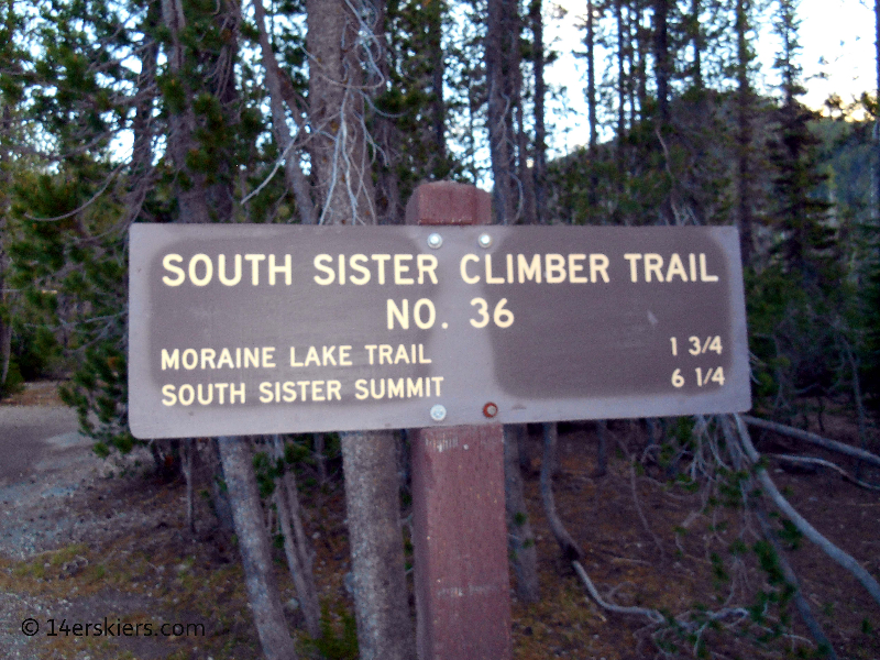
We knew right away we were in for a longer day than originally anticipated as our guide book reported the route as 7 miles round trip, but the sign reported 6.25 miles one way…
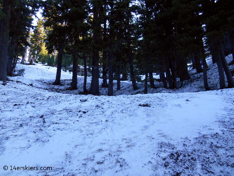
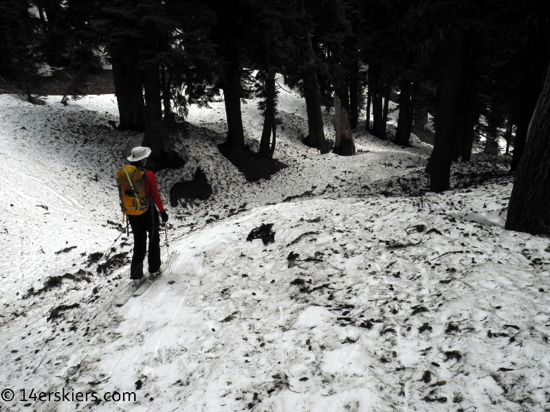
Still the traveling was relatively easy. After about 25 minutes of hiking in one of Oregon’s many dense forests, we were on continuous snow and able to switching from hiking shoes to skins.
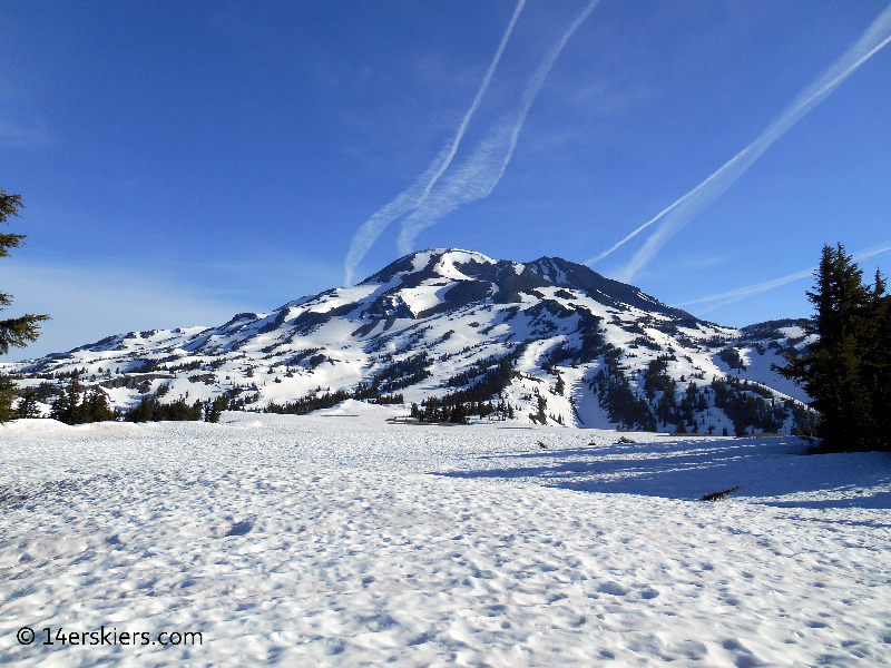
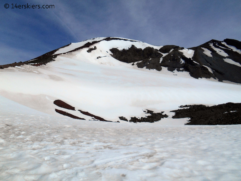
The route followed a gully for about 2 miles before popping out on the southwest ridge, where we were able to enjoy the view of South Sister under bluebird skies.
South Sister is geologically very young, with it’s last eruptions happening only 2000 years ago. Evidence of recent volcanic activity was everywhere.
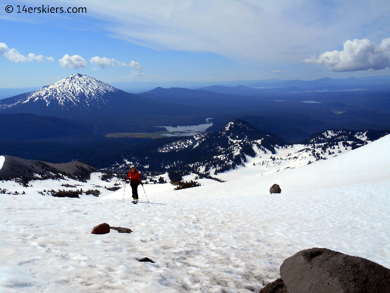
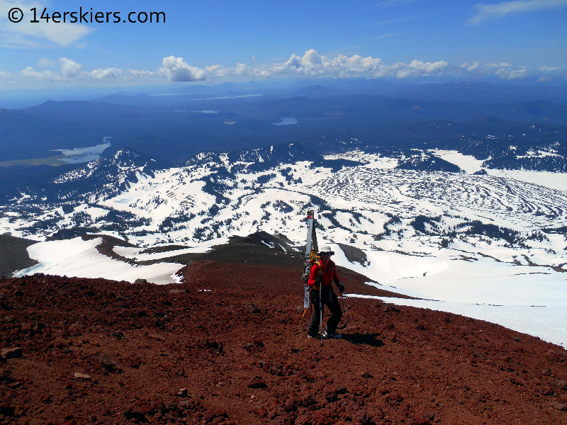
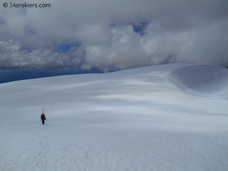
Pam climbing, with Mount Bachelor in the distance and Sparks Lake (where we camped) below.
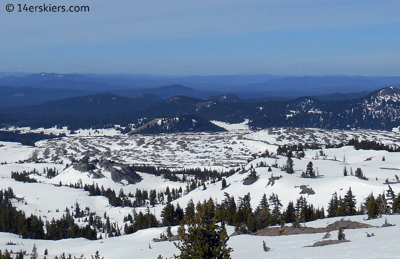
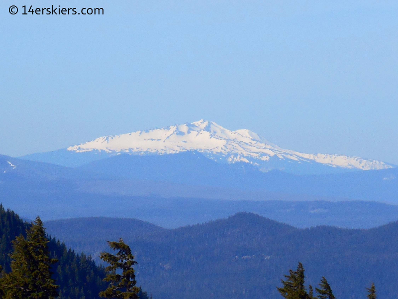
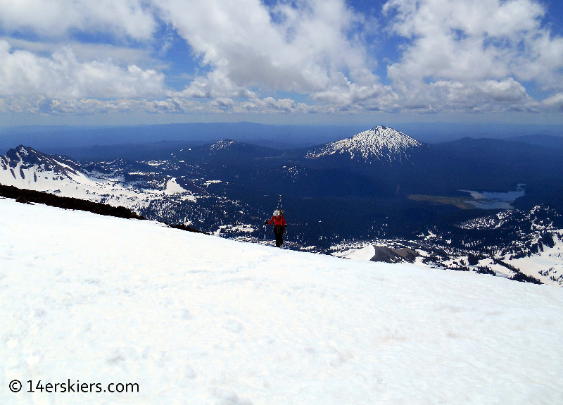
We caught glimpses of nearby peaks. Diamond Peak looked particularly white 🙂
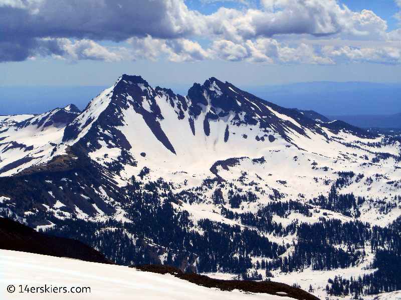
Broken Top looked nice and steep. I’m putting this one on my list 🙂
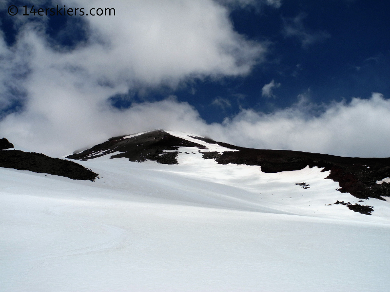
The ridge took us to the top of the Lewis Glacier. We followed the snow on the edge of the glacier before eventually moving on to dirt.

But, near the top, we found ourselves on snow once again.
At the “top” we realized we weren’t exactly on the top at all. We still had to cross about 1/4 of a mile across the caldera to the other side.
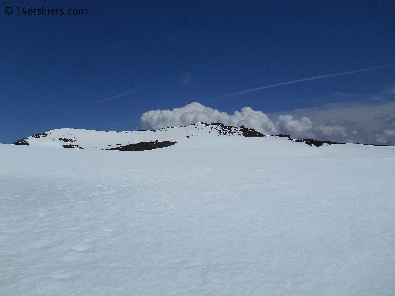
With clouds and weather moving in, we dashed across the caldera. Pam.
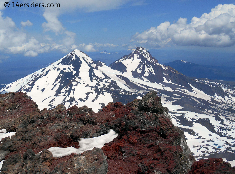
But the views were worth it! From the northern summit we could gaze upon Middle and North Sister.
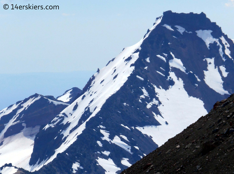
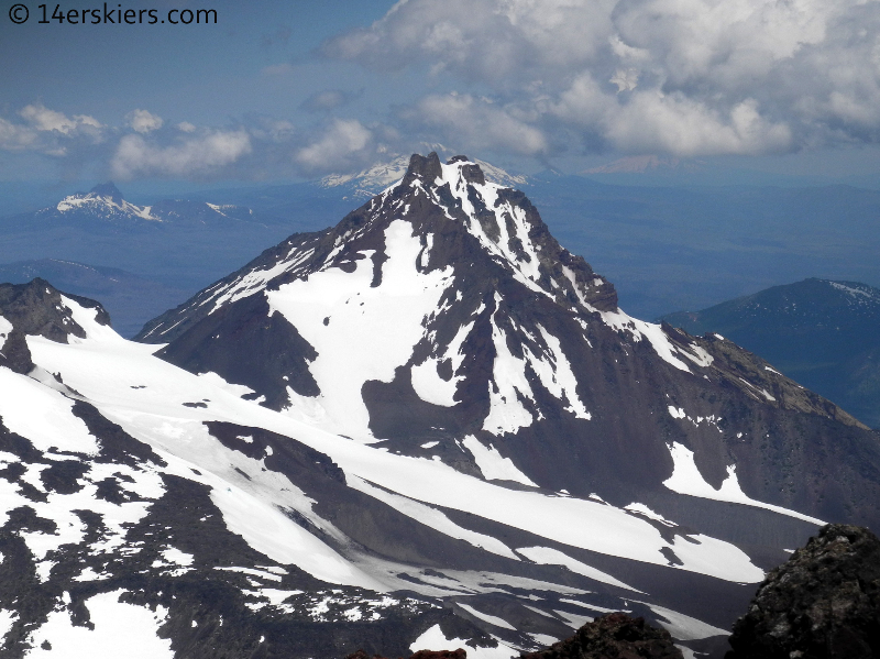
A close-up of North Sister, with Jefferson looming behind.
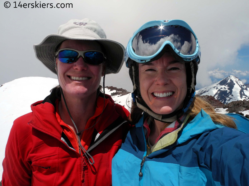
Even though the clouds were threatening, we opted for the summit shot.
Then we found ourselves engulfed in the clouds.
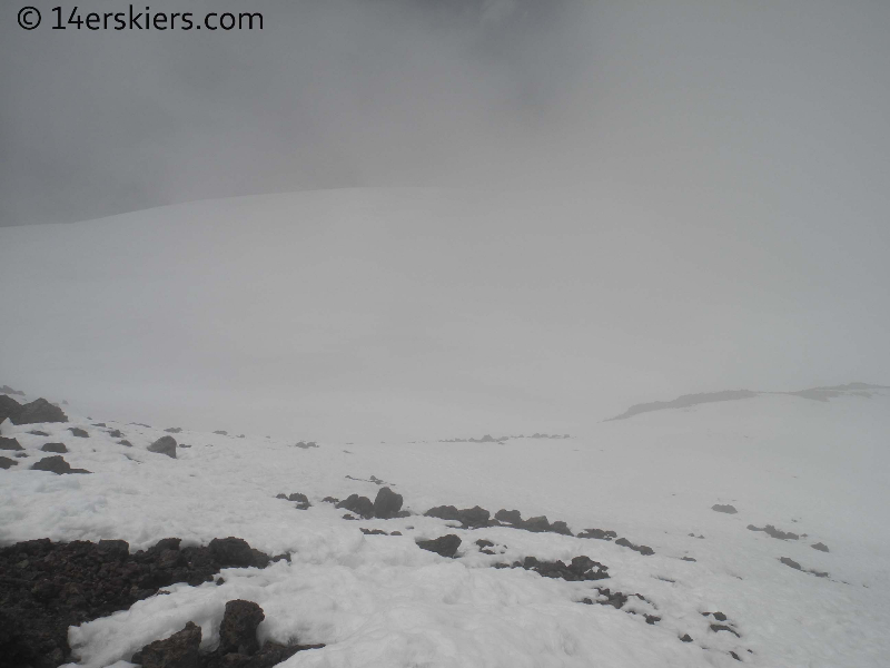
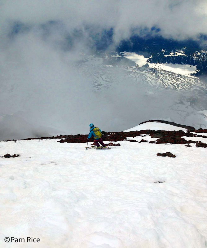
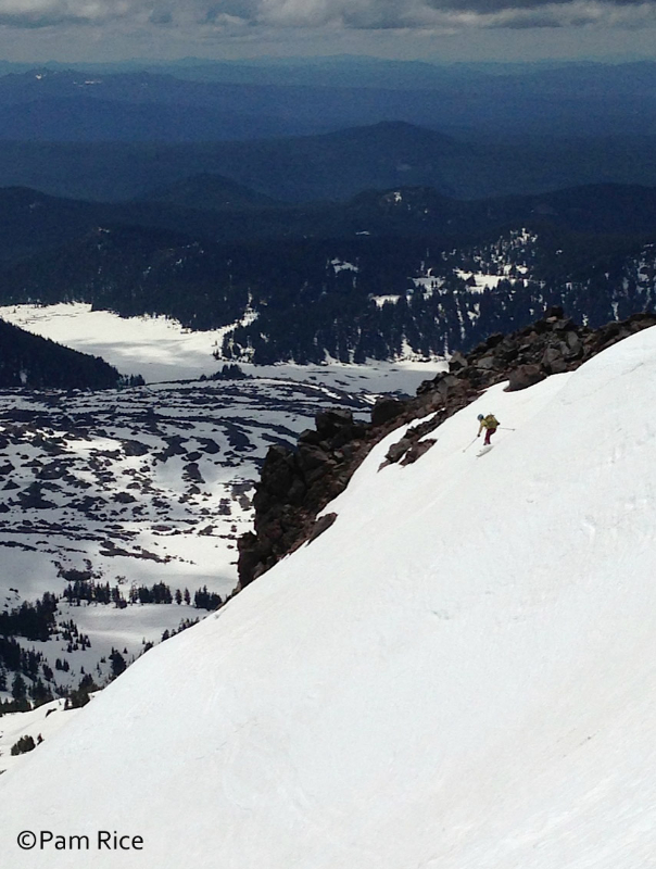
We waited it out for a few minutes for a window to open up where it was light enough for us to see where we would ski. Pam.
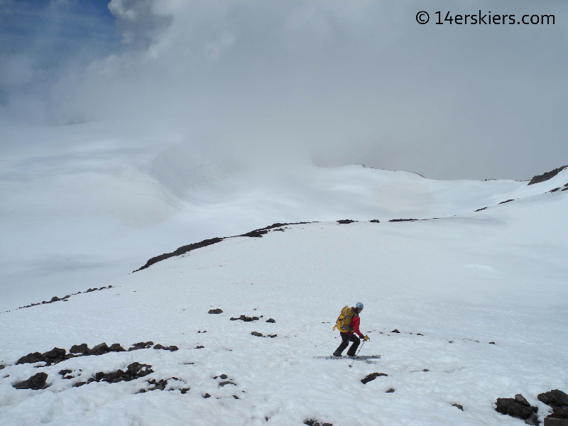
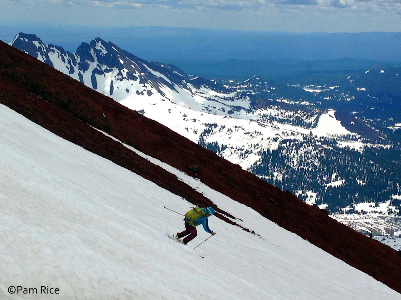
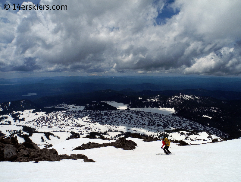
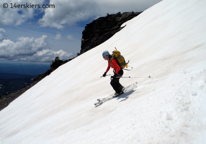
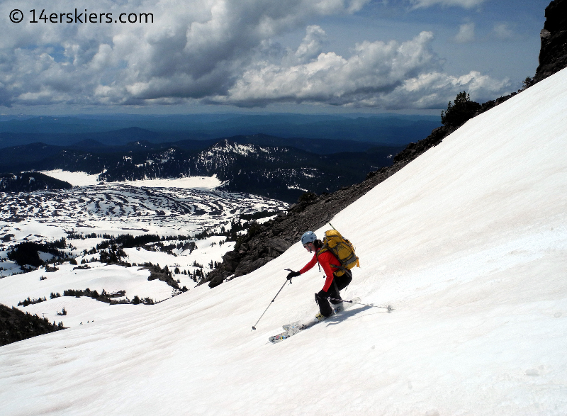
And the skiing turned out to be pretty good! Pam.
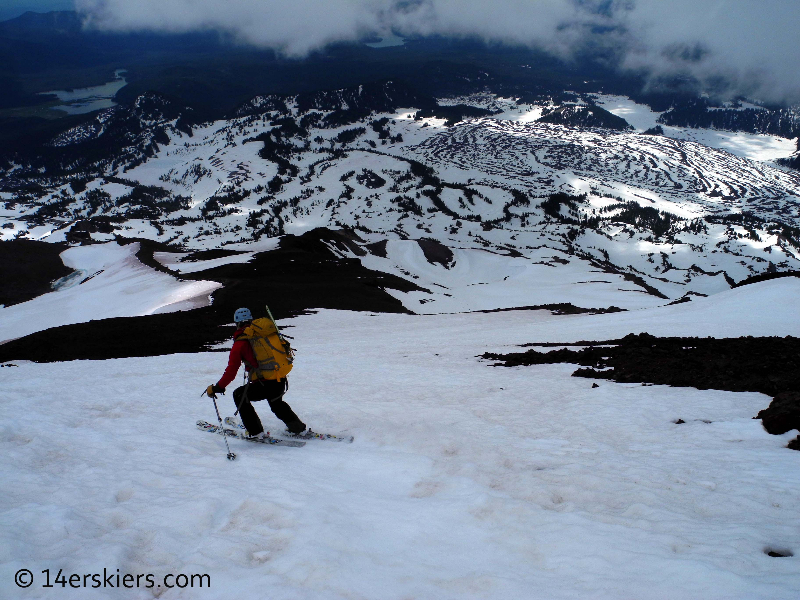
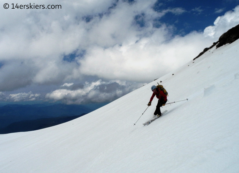
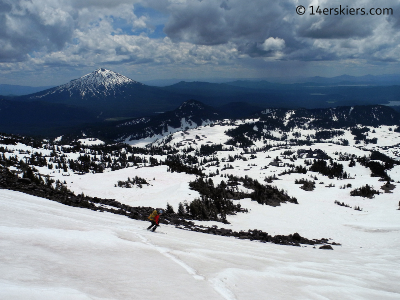
We skied down skiers right of the actual southwest ridge and the route eventually set us on the Clark Glacier, which seemed relatively benign. This photo was taken from the glacier looking up at part of our route.
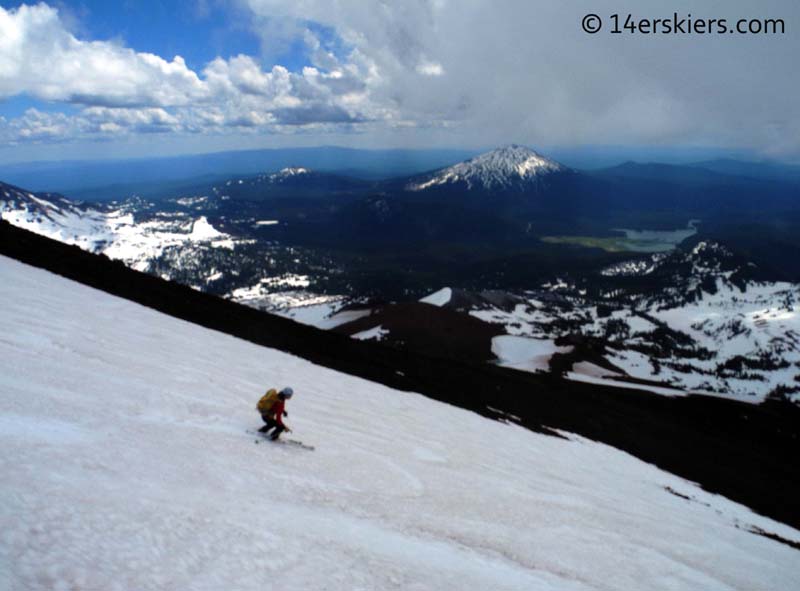
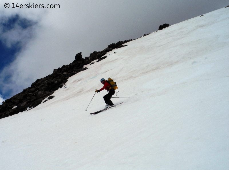
Some ski shots of me.
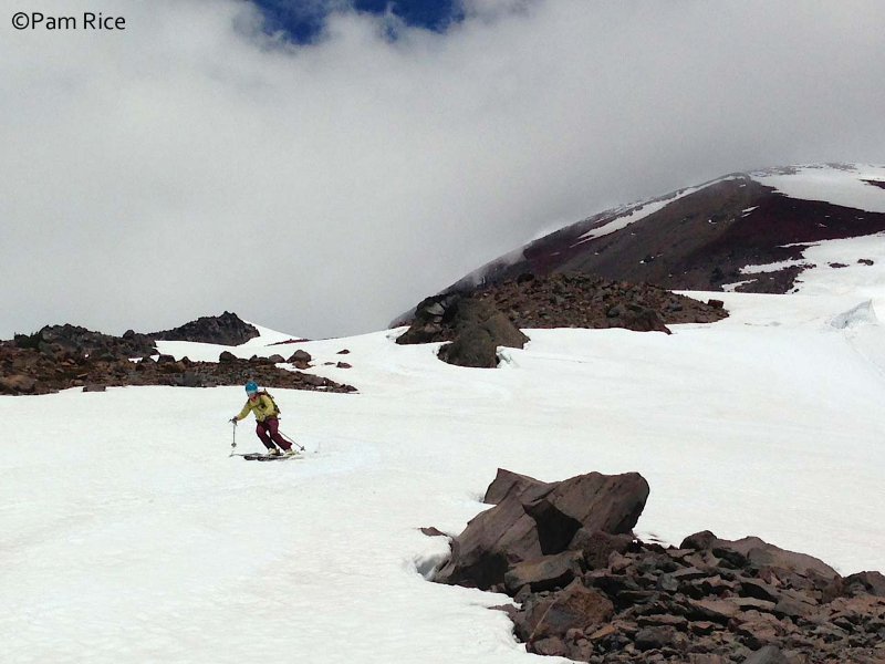
Pam.
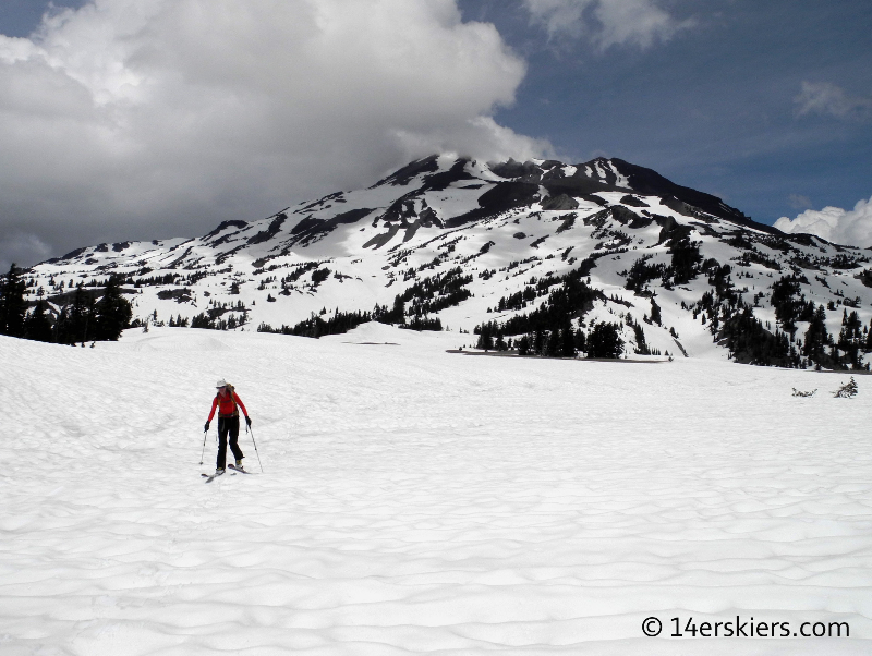
As we approached the bottom of the line, we had to traverse skiers left to gain the southwest ridge. The hike along the flat part of the ridge was a bit of an annoying slog.
Eventually, we reached the gully where we easily followed snow, skiing as long as we could.
After the snow ended, it was only a 20-minute walk back to the car.
While not quite as aesthetic as North or Middle Sister, South Sister does provide a quality hike and ski. It’s well worth the trek. Thanks to Pam for joining me on another volcano adventure 🙂
Check out other TR’s from this Pacific Northwest trip!
Diamond Peak
Solstice Ski on Mount Bachelor
Newberry Crater
Crater Lake
Mount Thielsen
South Sister
Volcano Travel Day
Shasta’s West Face
Lassen Peak
- Mount Buckskin (17 May 2020) - May 28, 2020
- Horseshoe Ski (14 May 2020) – The mountain whose journey nearly killed me - May 27, 2020
- Sayres X-Rated Ski (10 May 2020) - May 19, 2020