
TR: Lost Trail Creek – Cataract Ridge Trail – West Pole Creek 8.21.10
(Last Updated On: )
This TR will never do this trail justice. I wish I was a master of words, capable of describing the jaw-dropping nature of this ride. Around every corner, around every bend, this ride brings out exclamations of oohs and ahhs. As an anecdote, I took well over 200 photos on this ride- and very few of them were shot on continuous shooting mode. It’s that kind of ride. You’re very likely to see large herds of Elk, you’re not likely to see people (our tally, over the course of 10 hours- 1 thru-hiker, 2 horseback riders, 2 ATV’s near Carson Pass). We spent roughly 6 hours straight above treeline, traveling from one high basin to the next. The Cataract Ridge portion of the Colorado Trail contains its highest point, at 13,200′. I would honestly say that anyone within 10 hours of Cataract Ridge trail is doing themselves a huge disservice by not riding this trail. Consider making an alpine weekend out of it by combining it with Snow Mesa-Miner’s Creek.
You might be asking yourself, “Why describe such an awesome ride, why not keep it to yourself?”. One answer is that this trail is far from everything- the closest towns are Lake City and Creede, neither of which is known for mountain biking, so the trailhead is a couple of hours away from any town with a bike culture- namely Gunnison and South Fork. The other, and more important answer, is that this trail is threatened by Wilderness designation, an absolute travesty in my mind given the fact that the area is heavily grazed by both cows and sheep, and will continue to be even after Wilderness designation. Ride this trail, and then scream bloody murder to your representatives. IMBA is (hopefully) on the case.
I’d like to offer up some advice to anyone heading out this way. This route that includes the Cataract Ridge trail takes you out there. You’ll be exposed to bad weather for a long time, there are very few escapes, and some of the escapes will take you to Silverton- a long way from the trailhead which is closer to Creede. In addition to whatever you usually bring, I’d add a water filter, lighter/matches, warm clothes, and even a headlamp. Also, keep in mind that the Cataract Ridge trail is new as of 2009- this is something neither of our maps showed, nor did any of us know. We easily spent an hour completely confused by our outdated maps. Here’s a new map and website with more maps for more clarity:

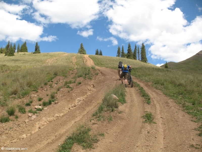
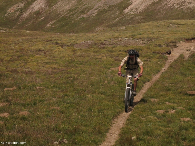
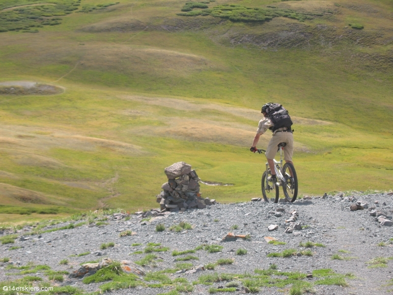
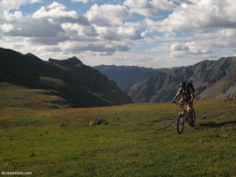
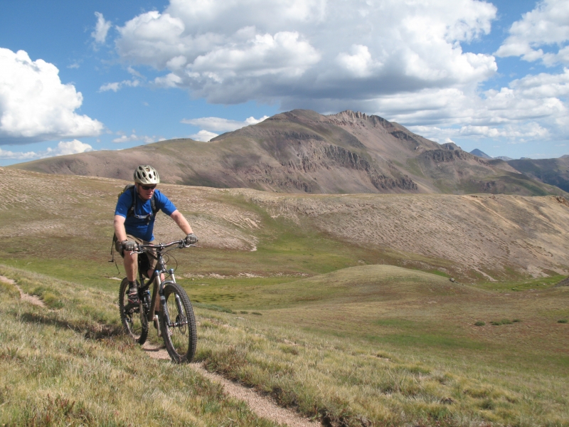
On to the good stuff. The trailhead is located at the West end of the Rio Grande Reservoir, at the marked Lost Trail trailhead. The trail is currently under construction and marked “closed-impassable”, but a group of dirtbikers had just finished their ride and confirmed our suspicions that the trail was fine, and only impassable for ATV’s. Lost Trail climbs steeply and is a wide ATV trail, which made it easier to gain the 2,000′ or so to treeline.
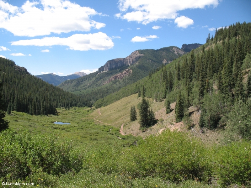
You could see the last part of Lost Trail for a while, and it was every bit as steep as it looked:
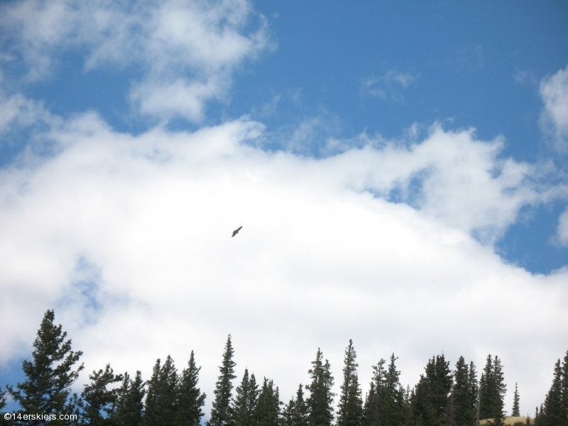
At least this Eagle kept us company:
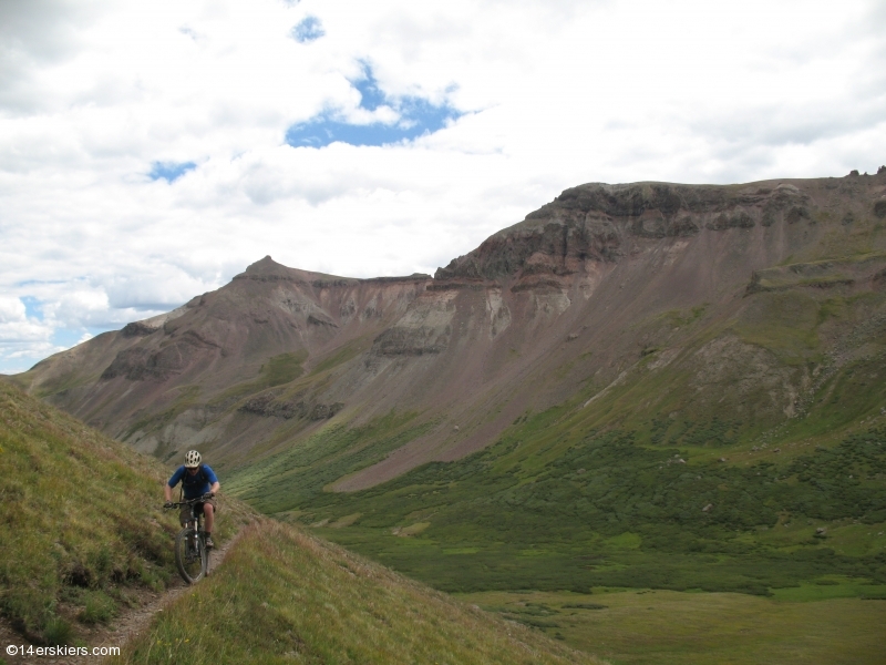
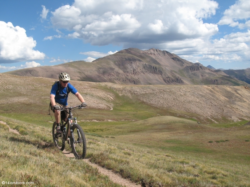
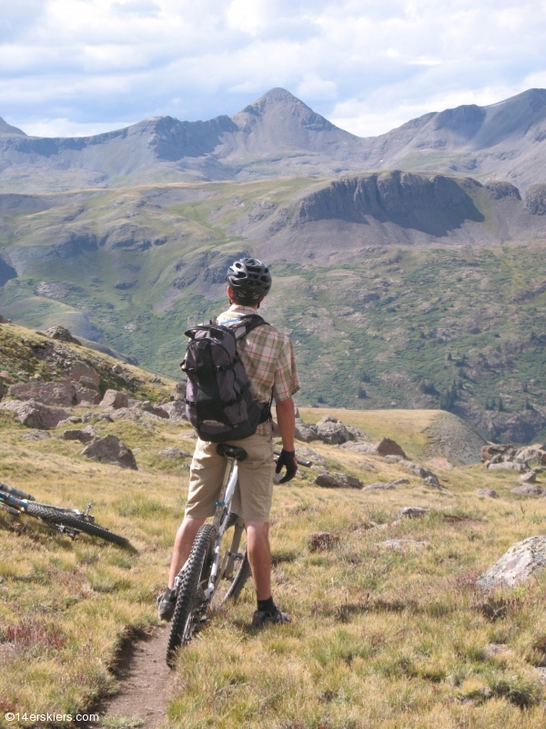
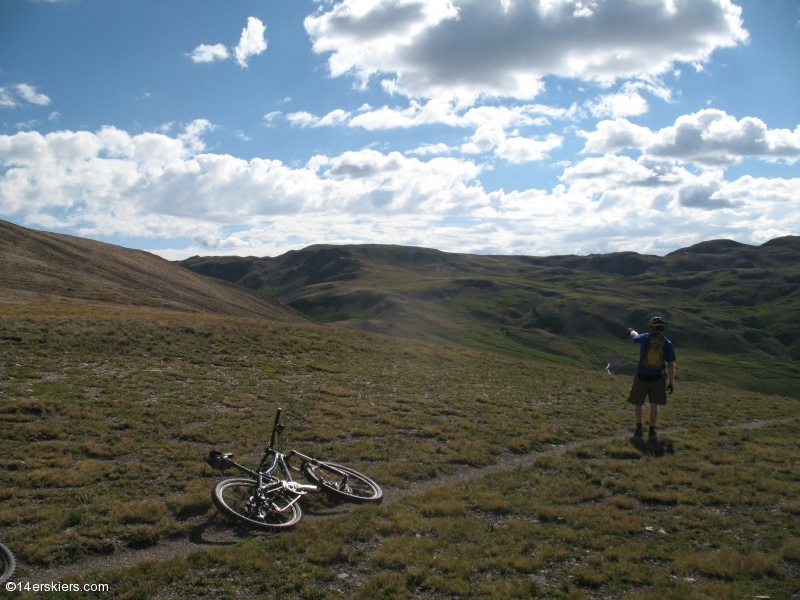
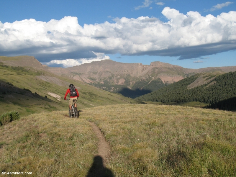
The hike-a-bike finished off our elevation gain to reach treeline, and we wouldn’t see trees again until the sun was going down. We made the turn onto the Colorado Trail (CT) and the quality instantly ramped up a few notches. Danny:
Chad:
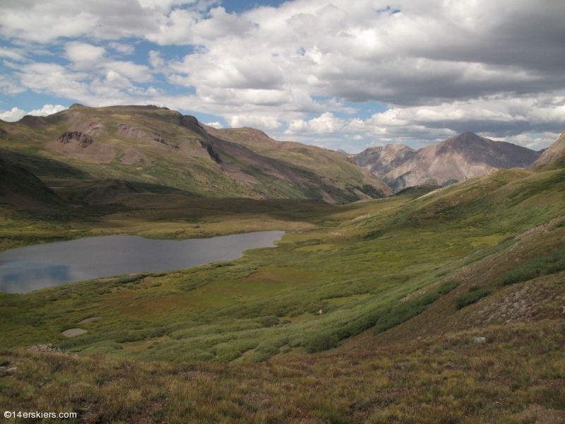
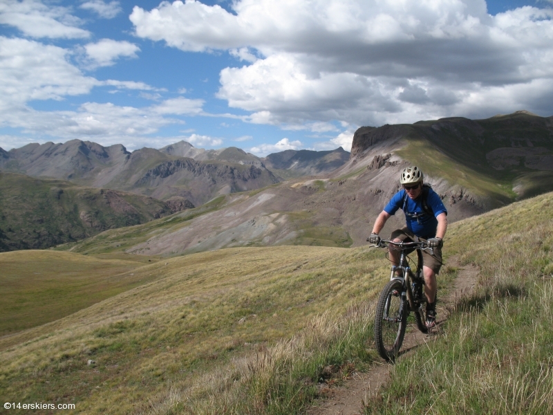
We reached the top of the first climb, the CT’s high point and started down towards Cataract Lake. Chad:
NW Pole Creek Mountain:
Danny:
Cataract Lake and Sunshine Peak (right):
Chad and Cataract Lake:
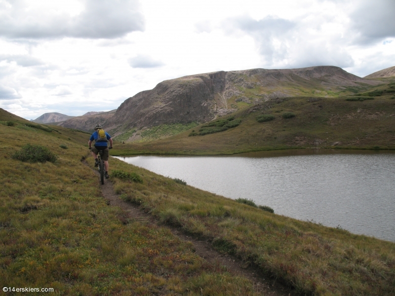
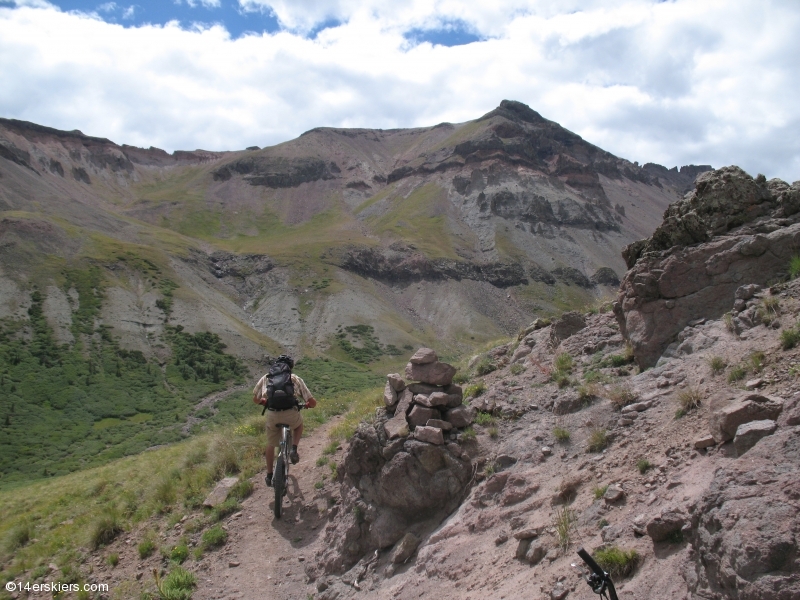
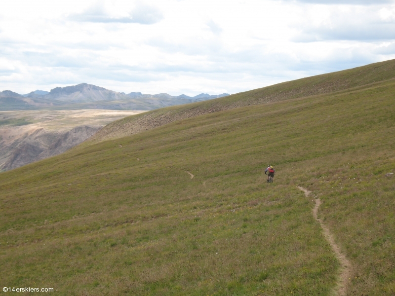
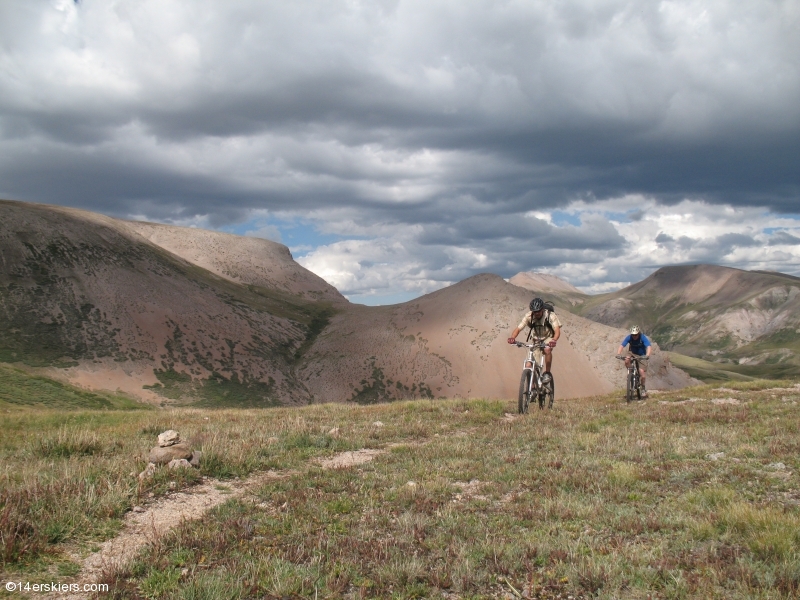
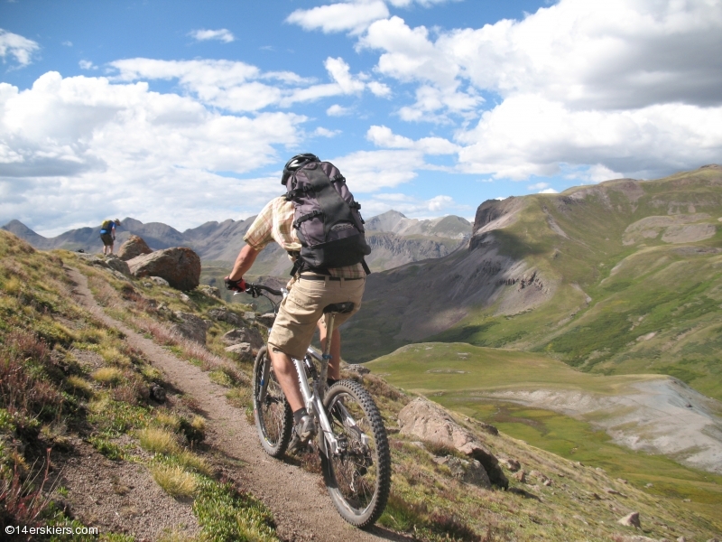
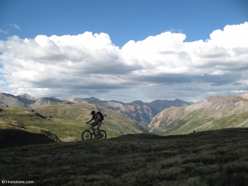
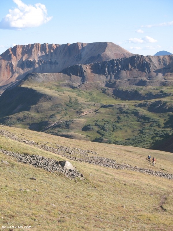
Danny and Chad nearing the top of the 2nd climb. There were at least 4 climbs on the CT section; some big, some small; some with hike-a-bike, some without.
Chad:
Danny:
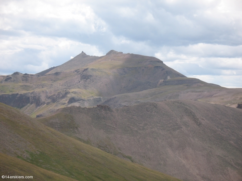
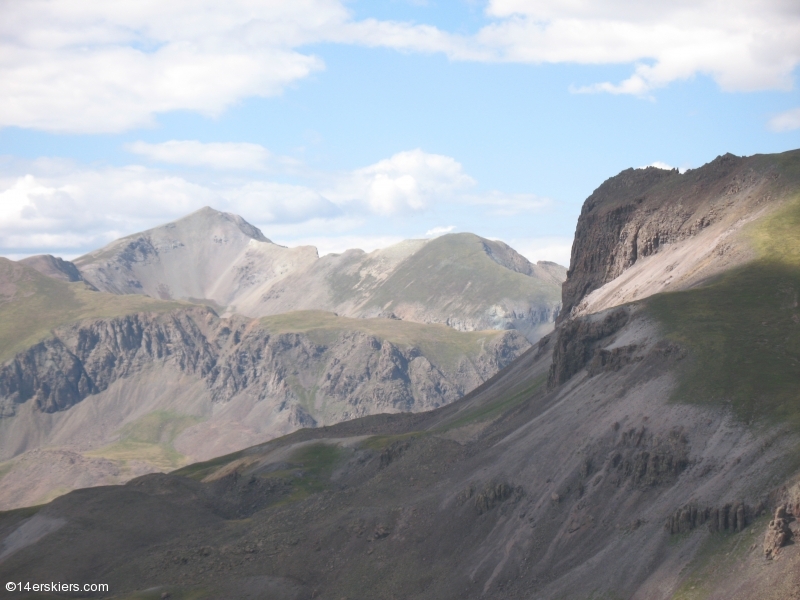
Handies Peak:
American Peak:
Danny checking out Niagara Peak. Needless to say, we were scoping some winter lines out here:
Chad:
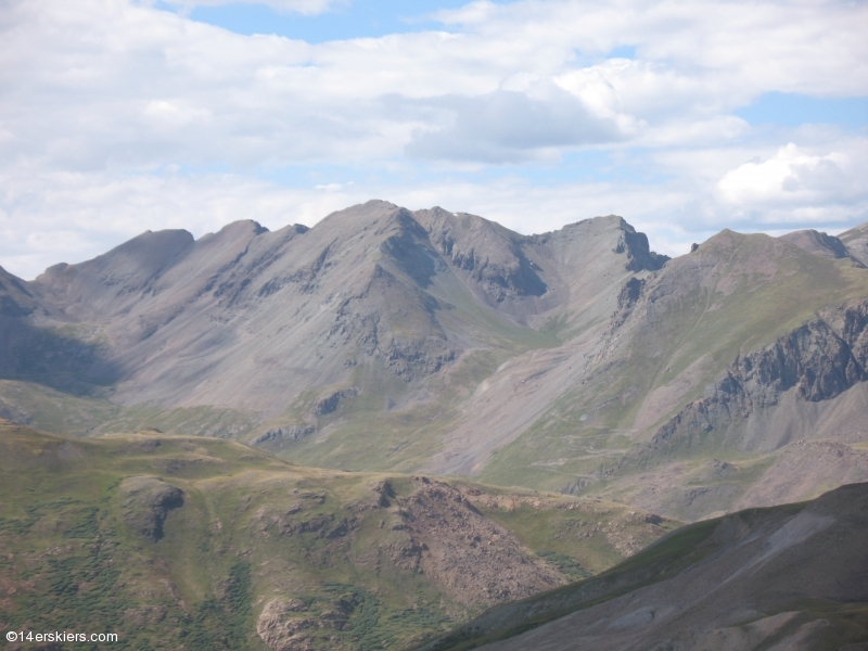
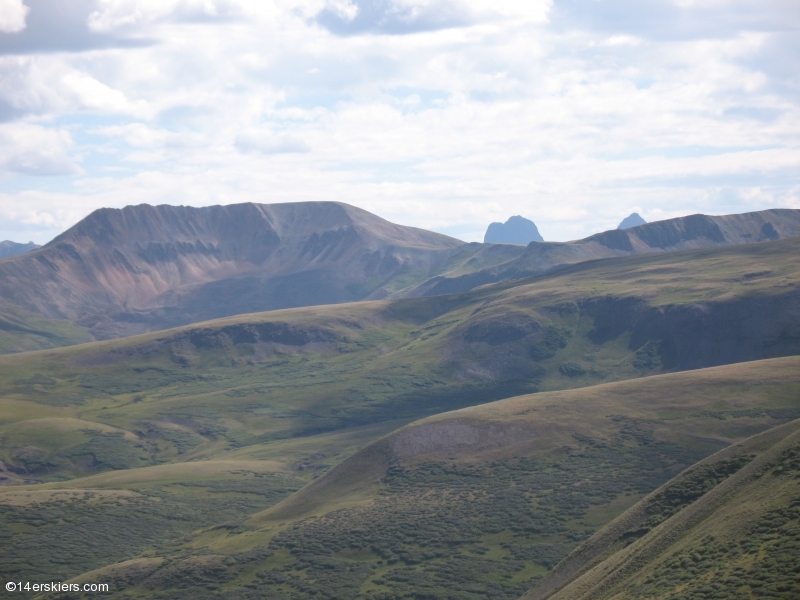
Sheep Mountain in the foreground, Vestal left, Arrow right:
Danny:
Chad:
Danny:
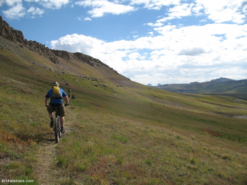
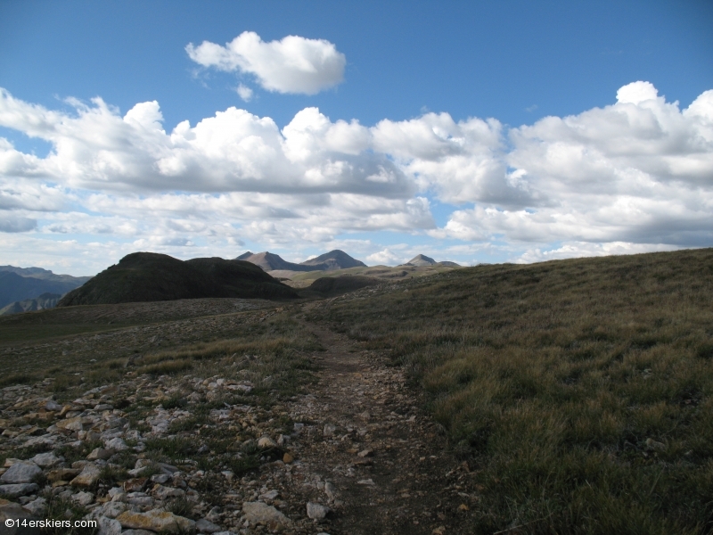
Trail:
Danny:
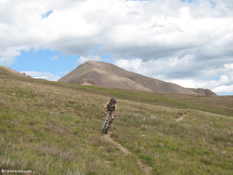
Chad, Danny, Sheep Mountain:
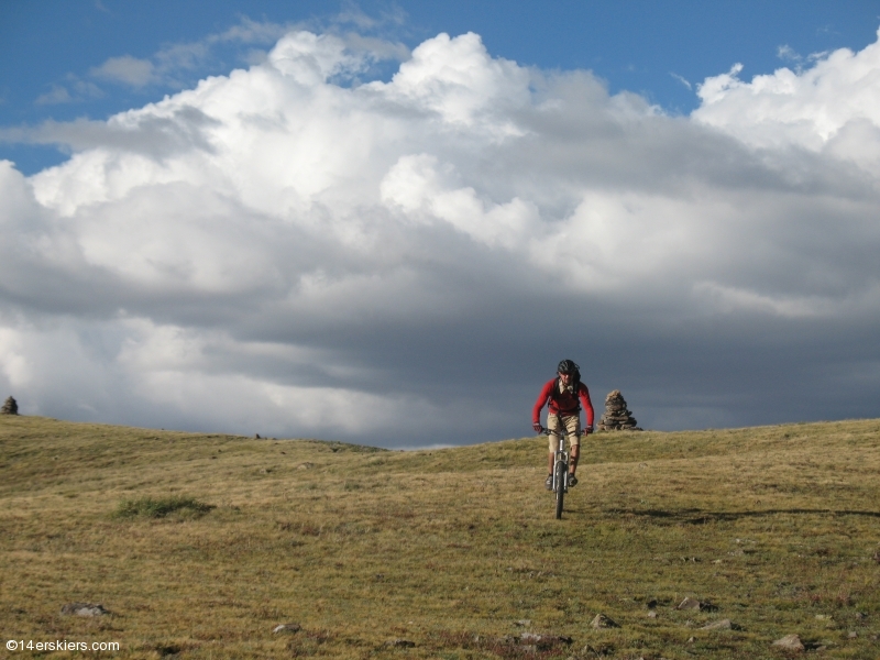
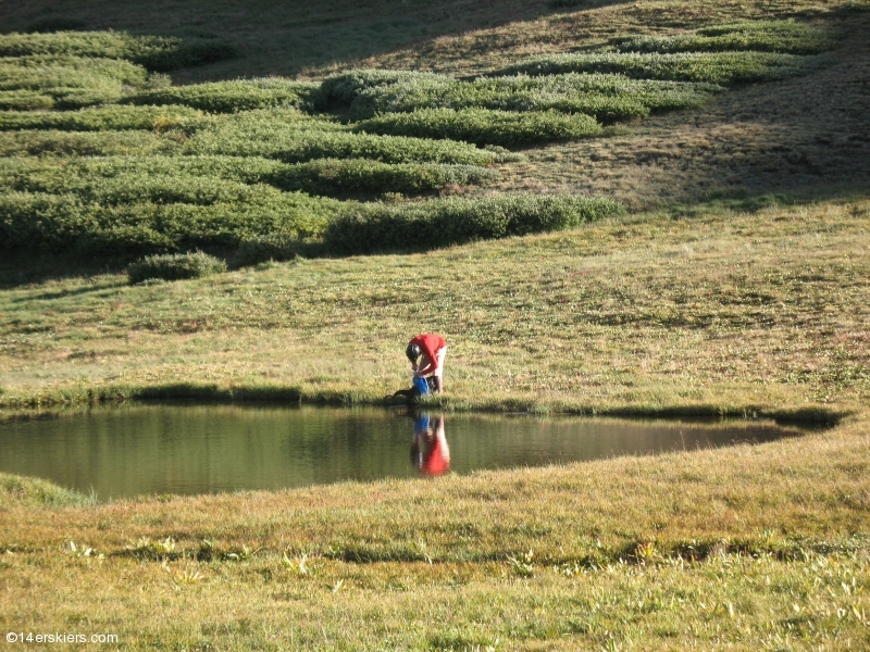
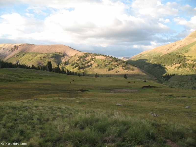
Finally, we reached West Pole Creek. The Colorado Trail continues to Stony Pass and onward to Silverton from there. West Pole Creek seems like the best option to drop off the CT, although Middle Pole Creek also has a trail. We ran into an equestrian here and he explained the situation with the recent trail re-route, and let Danny and Chad use his water purifier (I still had some).
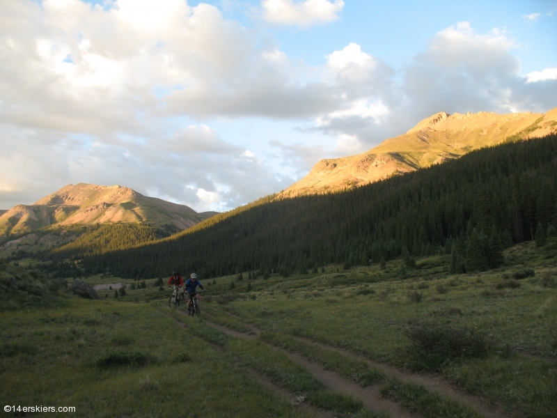
Danny on the final descent. It was sad to leave, but the light was fading fast and it was time to start heading to the car. West Pole Creek is a fun descent with a bit of everything, but it does have some boggy sections and cows.
The light was amazing as the sun went down:
Danny taking one last look at where we’d been:
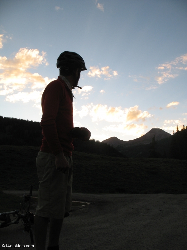
As you can probably tell, we were about to become officially “nighted”. No matter, we had about an hour remaining on the Stony Pass road (FS520) before we’d get back to the start. I can’t speak for Danny or Chad, but I was so stoked I didn’t even care. We even had some moonlight to guide our way. The main concern at that point was getting some dinner. Since we got to the truck around 9pm, we assumed nothing in Creede, about a half hour away, would still be serving food. So, we hightailed it towards home, likewise thinking nothing in Lake City would be open either. We rolled into Lake City a bit before 11pm and the sign at Mean Jean’s coffeehouse said “Open”. We rolled in and they were kind enough to serve us some delicious Chicken Fajita Burritos despite the fact it was just minutes before they were hoping to close. Turns out Jean isn’t so mean after all.
Thanks, Jarrett, for staying on my case to ride this thing!
By the numbers: 36.3miles, 5hr, 55min ride time, 10 hours out (much of it looking at a map). The numbers tell the story- there is some elevation gain to be had, at altitude.
If you’re interested in riding Cataract Ridge Trail, check out our Colorado Trail Mountain Biking Guide.
- Bluebird Backcountry Ski Area - February 14, 2020
- Gear Review: Smith 4D MAG Goggles - January 6, 2020
- Gear Review: LEKI Tour Stick Vario Carbon Ski Poles - December 9, 2019
Hell yea! That was sweeeeet Frank.
FIVE RAINBOWS!!
What does it MEAANNN!!!! It’s so beautiful!!!!!
Amazing pics. Connect if you’d like. We would. bill [at] ColoradoTrail.org