
409 to 409.5 Via the New Point Lookout Trail
(Last Updated On: )
409.5 has long been one of our favorite rides. Fast and flowy, with great views of the East River valley, it’s a trail we constantly recommend. Despite our love of this trail, however, many people decide not to check it out because the best way to ride it, in our opinion, requires a short stretch of highway. It’s never bothered us a bit, but the thought of riding a mountain bike on a highway just doesn’t cut it for some people. Another option has always been to ride 409 and then ride 405 (nicknamed Point Lookout) to get to 409.5, but I’ve never liked 409, and 405 is a steep eroded mess of a trail.
Enter the recent trailwork that CBMBA volunteers accomplished recently. Several sections of 409 received some much needed attention, and more importantly, 405 saw a complete re-route. Quite a few people raved about the new trail and suggested that we should check it out, so check it out we did.
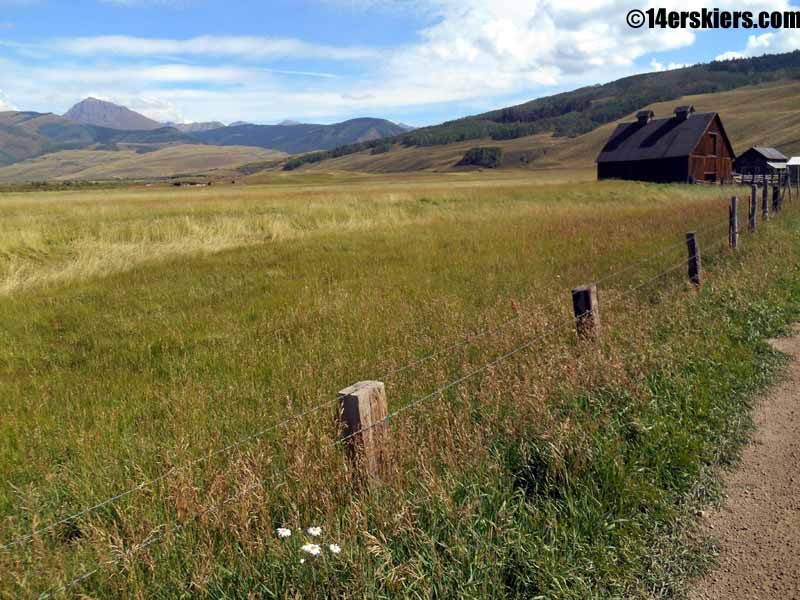
There is something subtly beautiful about early fall, but it’s difficult to capture in a photo. Brush Creek:
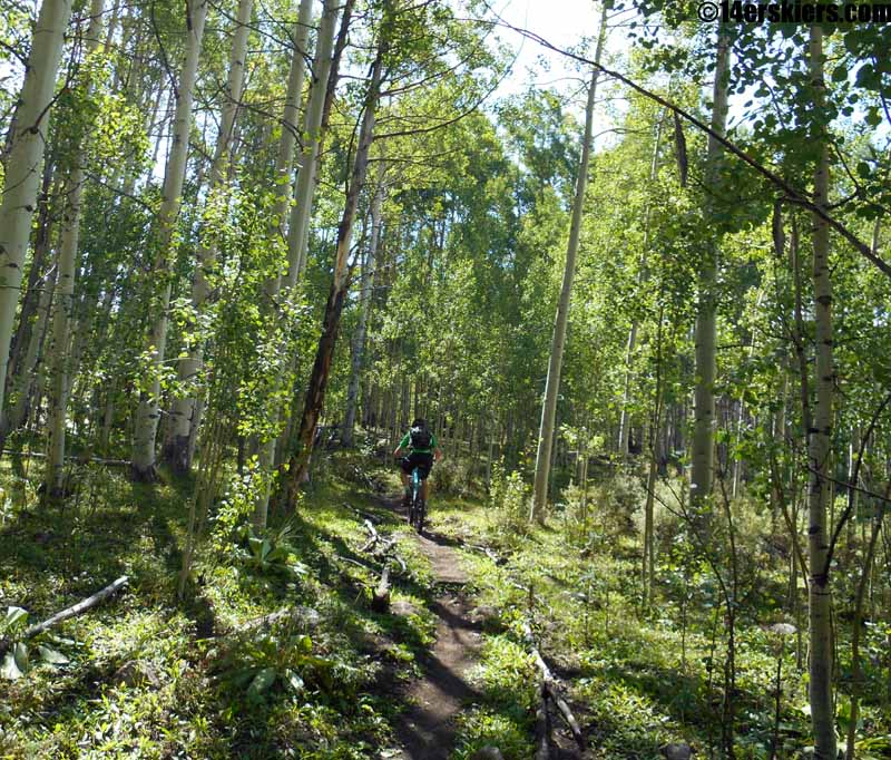
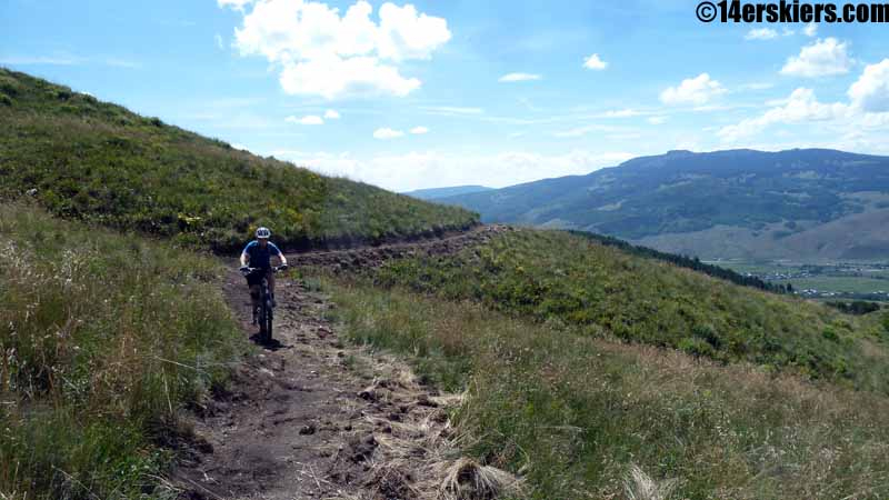
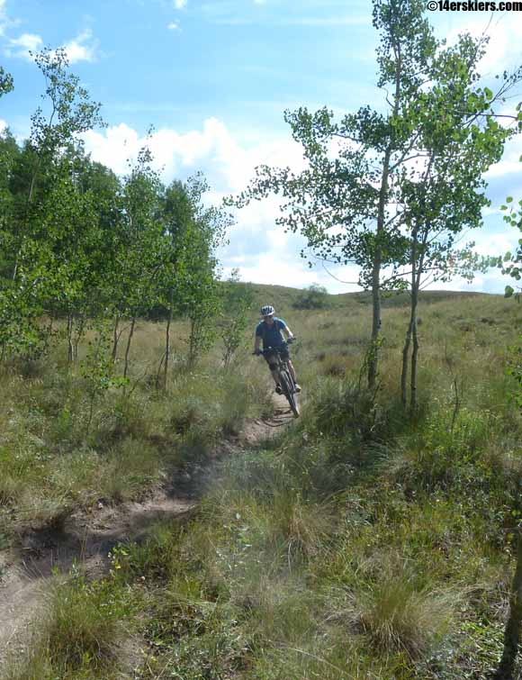
Then again, the early part of 409 seemed green, lush, and almost spring-like:
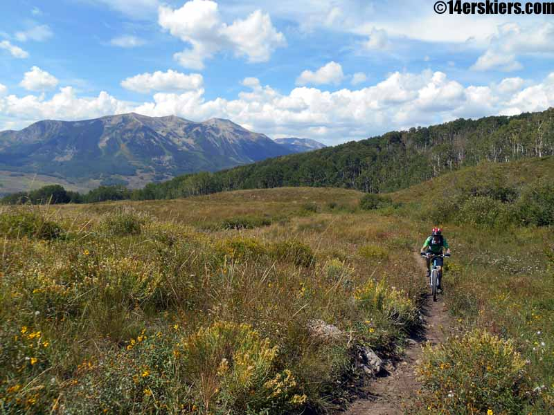
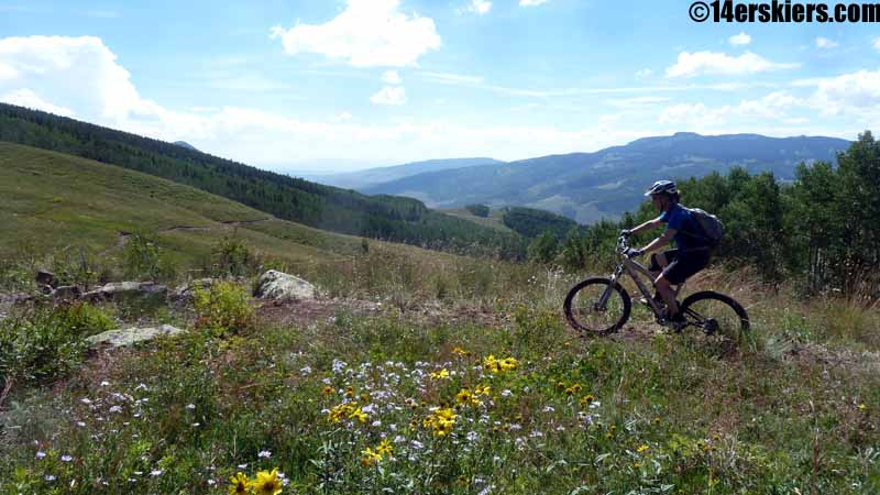
Great views of Whetstone throughout this route:
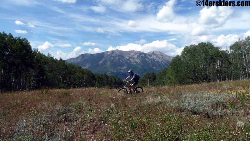
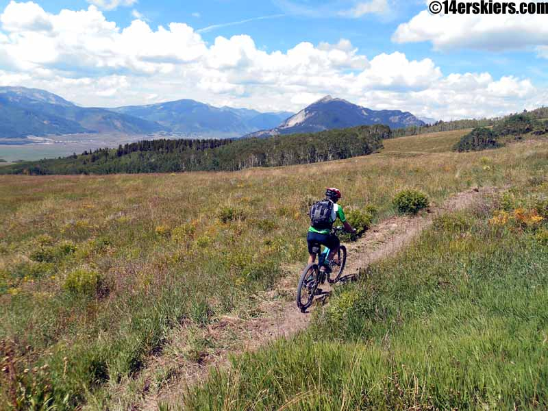
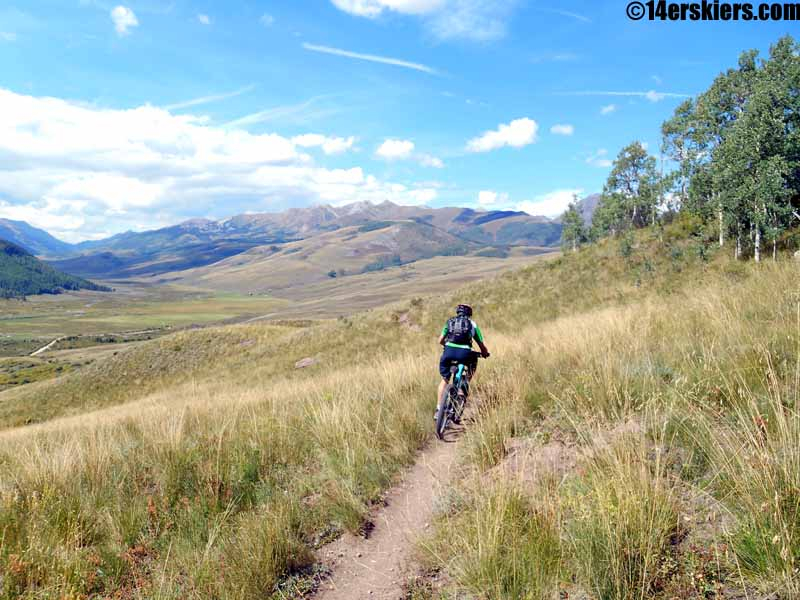
The new trail is a piece of art, with great views:
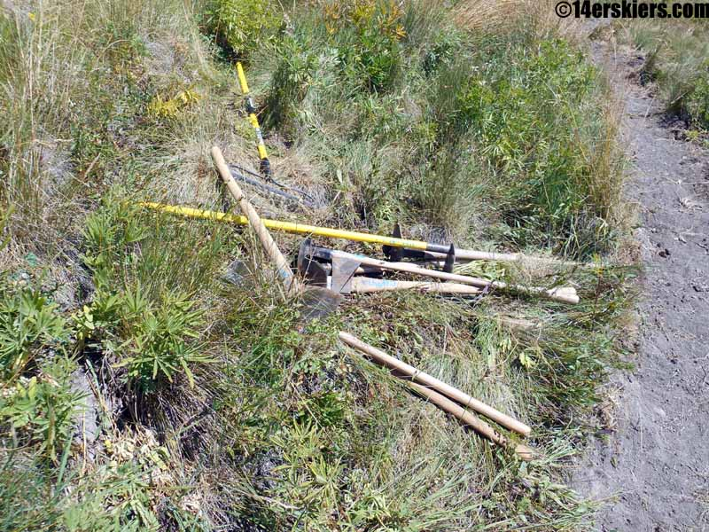
The only thing our friends neglected to mention: the trail isn’t quite finished! It’s close, and the trail is flagged, so it isn’t hard to walk the mile or so to the intersection with 409.5. If you have the time and energy, the tools are there:
409.5 is just too fun and fast to stop for pictures. We finished our descent with a quick climb up to Strand Bonus, a fun and often overlooked trail in its own right. Brittany:
Frank:
We’re not sure which route to 409.5 we will favor in the future. The trail isn’t done, so that makes any judgement a bit too hasty. One thing for sure, with the improvements on 409 and 405, this route is a lot better than it used to be. With the unfinished trail, and a brief detour at the start of my ride to fix a broken derailleur cable, I can only estimate the comparable times and distances. Best guess: about the same amount of time (HWY 135 route vs Point Lookout), and Point Lookout is about 7 miles shorter.
405 can also be accessed from the other side of 409 (the Caves trail), or could be descended from the high point of 409.5.
The map (note that due to a broken derailleur cable, I had to detour into town)
View 409 to 409.5 via 405.kmz in a larger map
Coming to Crested Butte this winter? $18 tickets right now:
- Bluebird Backcountry Ski Area - February 14, 2020
- Gear Review: Smith 4D MAG Goggles - January 6, 2020
- Gear Review: LEKI Tour Stick Vario Carbon Ski Poles - December 9, 2019