Belated TR: Mount Hood (19 June 2012)
(Last Updated On: )
Every ski mountaineer knows that they can be as prepared as much as possible, but in the end it’s Mother Nature that has the last say. During our Monday rest day, we had checked the forecast for Mt. Hood the next day – 20% chance of snow and high’s in the mid-30’s. In the Pacific Northwest, that’s a climber’s dream. We were set to leave early. By early, I don’t mean alpine start early – but leaving Hood River at 5 am early, hopefully meaning on snow by 6:30 or 7. But, on Monday night, as I was about to slip into my sleeping bag to catch some zzzzz’s, I decided to take a last-minute look at the forecast for the next day. My jaw dropped. “Uh oh,” I said to Matt. “We may have a problem.”
The forecast had done a complete 180. Instead of being 20% chance of snow, it was now 20% chance of sun – meaning the other 80% chance was reserved for snow. Matt quickly opened his laptop and began checking the forecasts for nearby volcanoes and suggested Mt. Adams, since the predicted weather looked slightly better. But, my gut told me to stick with the plan. Based on my interpretation of the forecast, I felt that the storm was moving out later than originally thought. Instead of breaking in the early morning as forecasted earlier, the meteorologists were now predicting it to break in the afternoon. I further rationalized my thoughts by saying that Mt. Hood was a relatively short climb and the closest of our intended peaks, and therefore would be easy to bail on if we needed to do so. Matt agreed. So, we went to sleep with a plan, but didn’t bother to set the alarm.
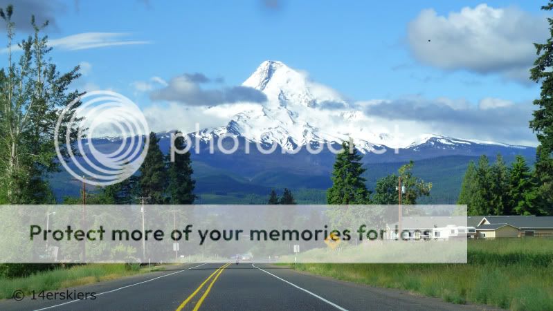
I awoke with a start at the ripe hour of 7:30 am. I felt like I was late for something. I tried to shut that part of my brain off and remind myself that I was just trying to be patient and wait for Mother Nature to do her thing. As we began our drive toward Mt. Hood at 8:30, I felt like we’d made the right choice.
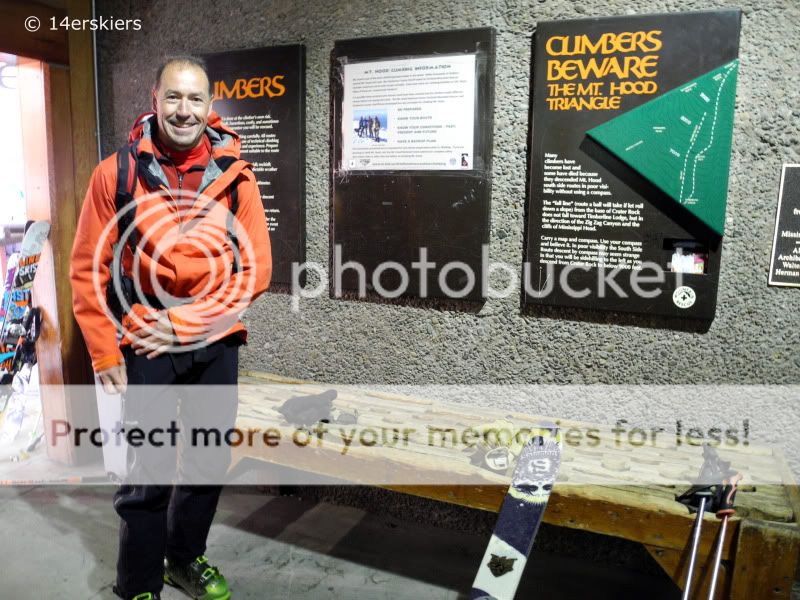
We checked in at the Climber’s Cave, dropping off our permit (unlike Shasta, free).
Though we were hopeful, Timberline was engulfed in a storm, and a break in the weather was not looking good. But at 10 am we decided to go for it anyway. The first part of the climb would border the ski area boundary, and bail out options would be both easy and safe. So, up we went, taking our time, hoping the weather would break.

As we got up higher, we kept getting more and more frequent views of the terrain above.

At the ski area boundary roughly 2500 feet above Timberline, and half way to the summit, we had to make a choice. Keep going? Or turn around? We decided the weather was turning in our favor for the moment and felt good about moving forward.

Just before Crater Rock (which is at 10,500′), we made the switch from skins to crampons. We also put on harnesses in case we felt the need to rope up on the glacier above.
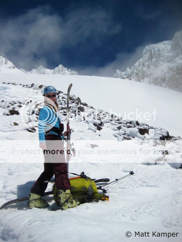
As we continued on toward the sun, it occurred to me- the weather wasn’t changing at all. In fact, we were climbing out of the clouds. The Devil’s Kitchen fumarole with the Headwall behind.
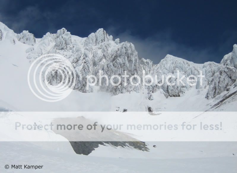
Me with the Steel Cliffs behind.
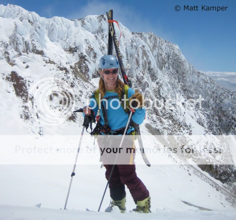
The Hogsback, with a bergschrund on both sides, the Chute to the left and the Pearly Gates to the right. All sign of recent tracks lead to the left up the Chute. We opted to go right through the Pearly Gates.

The choke in the Pearly Gates was icy and narrow.
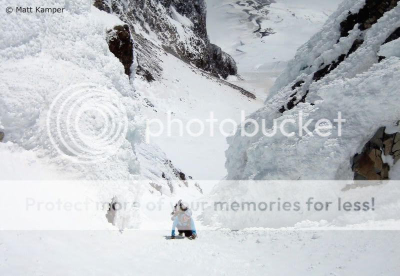
But, we easily made it to the summit at 11,239′, just before 3 pm.
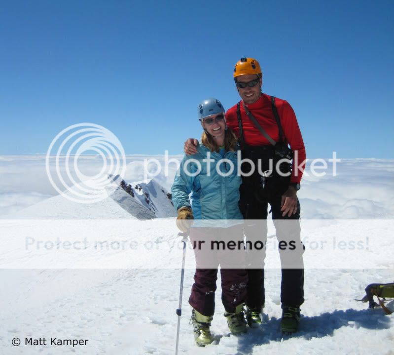
We had the summit of the most-climbed volcano in North America to ourselves. No one else ventured that far that day.
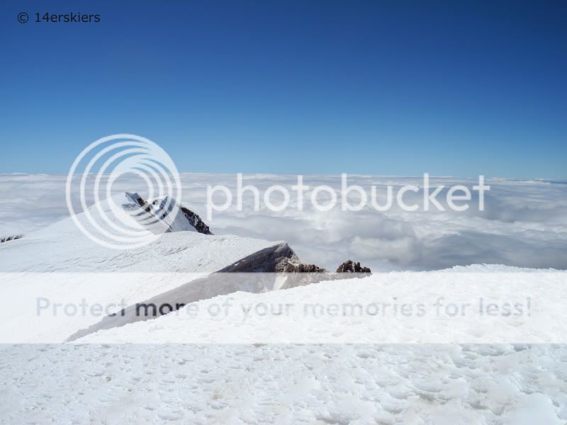
The views were largely obscured by clouds. Only a couple of other volcanoes came out to greet us.

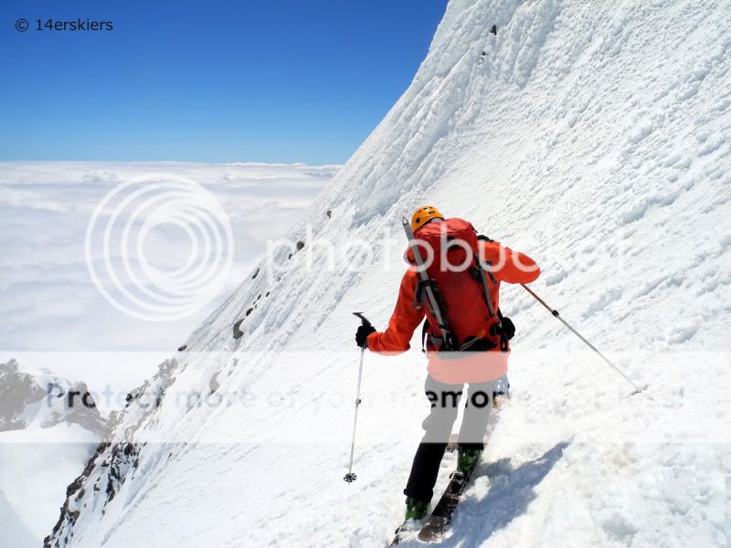
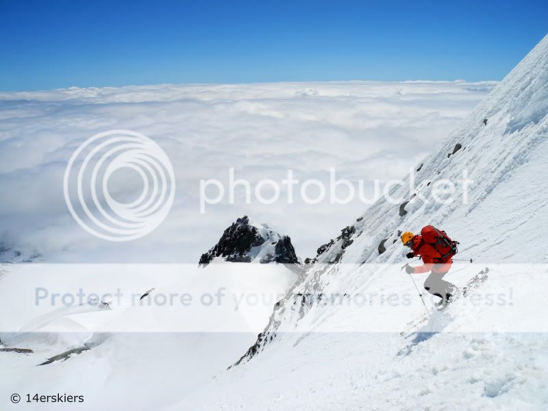
The upper face of down into the Pearly Gates was bumpy and rimey.
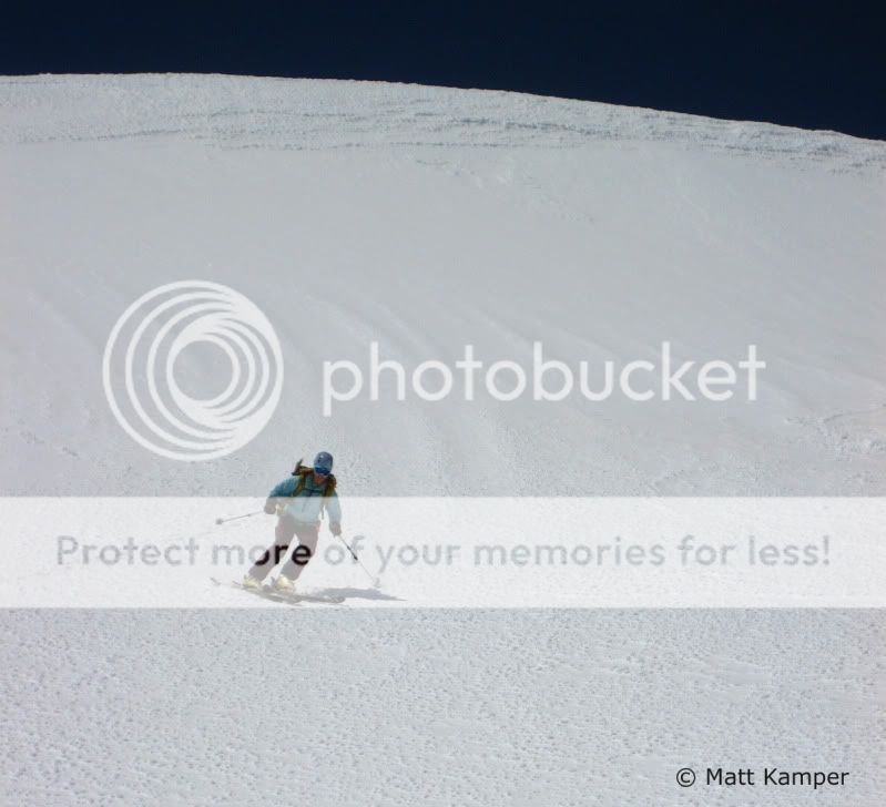
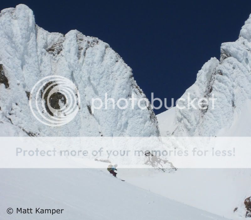
This continued down into and through the Pearly Gates, which was not wide enough for the length of a ski. Careful maneuvering through the steep and icy choke was needed, as we carefully balanced our tips and tails between the slope and the adjacent rimey wall. (Note: Many skiers opt to leave their skis at the Hogsback, cramponing to the summit and back because of this). But after that, the skiing got good! Though, we still had to make our way carefully over the bergschrund…
A view of the Palmer lift, rising out of the clouds.

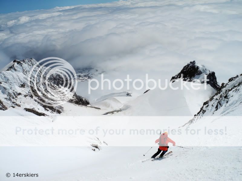
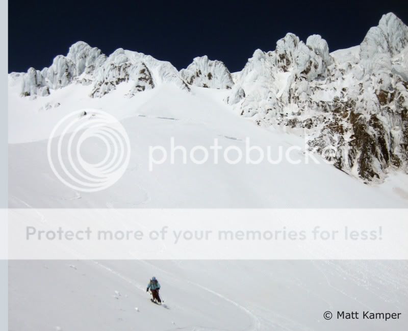
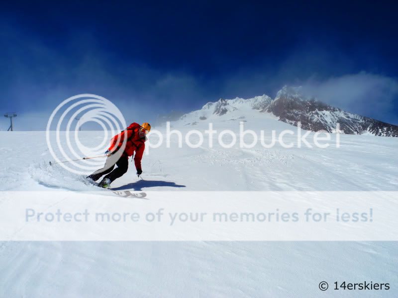
Eventually we reached the ski area boundary. The Palmer lift hadn’t opened that day. So, we enjoyed a little bit of fresh corduroy.
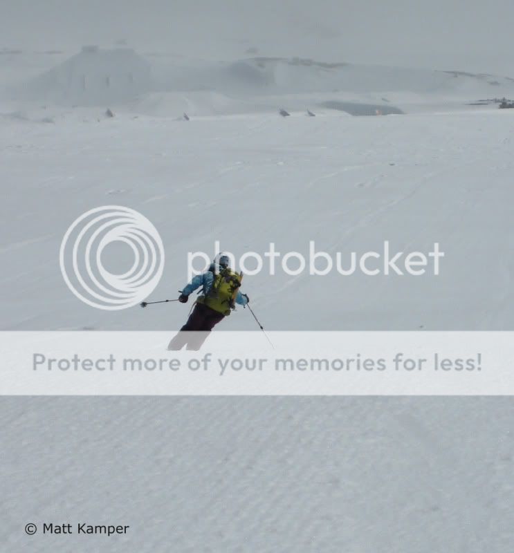
But eventually we descended back into the storm and the mank, making the last few hundred feet a little rough. Up top we had bluebird, but we came back down to this!

Six hours after leaving the parking lot, we were back at the car. Not a bad way to start off. And as we made our way back to Hood River, we searched for the volcano whose summit we’d just stood on, but we could not find it. Mount Hood once again had been engulfed by clouds. Our timing had been perfect. We couldn’t wait to see what else Mother Nature would allow us to get away with over the next few days 🙂
Many thanks to Matt for joining me on this fabulous adventure!
A website I found very helpful for planning to ski this route: mountainshop.net
Links to Other Reports from this Trip:
Volcano-Bound!
From SLC to Shasta
Shasta Ski (14 June 2012)
Shastarama Ski (16 June 2012)
Lassen Peak – Closing a Volcano
Oregon Days Off
Mount Hood (19 June 2012)
Mount Adams (20 June 2012)
Mt. St. Helens (21 June 2012)
From the Gorge to Craters
- Mount Buckskin (17 May 2020) - May 28, 2020
- Horseshoe Ski (14 May 2020) – The mountain whose journey nearly killed me - May 27, 2020
- Sayres X-Rated Ski (10 May 2020) - May 19, 2020

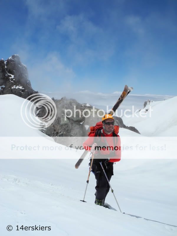


Cheers Brittany! Thank YOU for an awesome 3-day spring ski season! My TR for this trip is at http://www.14ers.com/php14ers/tripreport.php?trip=12116 for those who are interested…