Raiding the Marble Zone: “The Blob” 4.28.09
(Last Updated On: )
“The Blob” 12781′
Tom, Frank, Ben
Sometimes the best adventures are plan “B”s. With 6-12” of new deposited over the weekend, the best bet for today seemed like something northerly and hopefully still powdery before the corn returned on other aspects. We set our sights on the NE face of Hancock, a peak that I passed on when the conditions didn’t seem perfect a month or so ago. To get to Hancock, one must cross the Slate River near the former mining camp of Pittsburg, and head up towards Daisy Pass. Unfortunately, this is the time of year when access can become problematic and the Slate River had shed decided to shed itself of its’ snowbridges, which were there just a few days ago. As we tried to find a way across the river, we soon found ourselves higher and higher in the drainage. We were getting late to cross Daisy and ski Hancock, but another idea entered my mind. I knew people rode their snowmobiles right up the upper Slate river all the way to Yule Pass, which separates the towns of Marble and Crested Butte, so we decided to see what that would bring. This decision brought us to a whole new zone to explore.
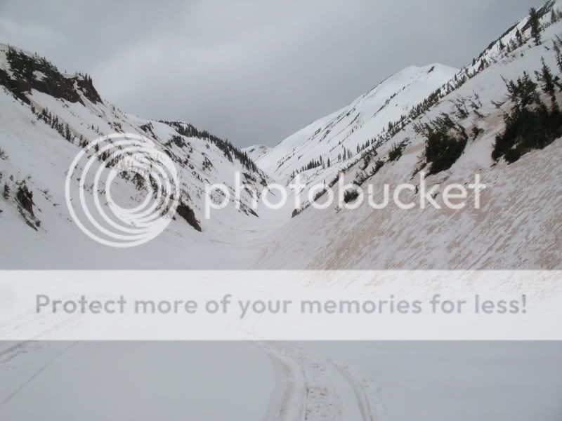
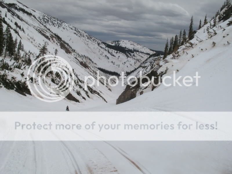
The snowmobiling up to Yule was largely easy, although the exposure to avalanches on both sides was intense, to say the least. With the snow still frozen, we felt confident and made it to the top, and looked downvalley to Crested Butte:
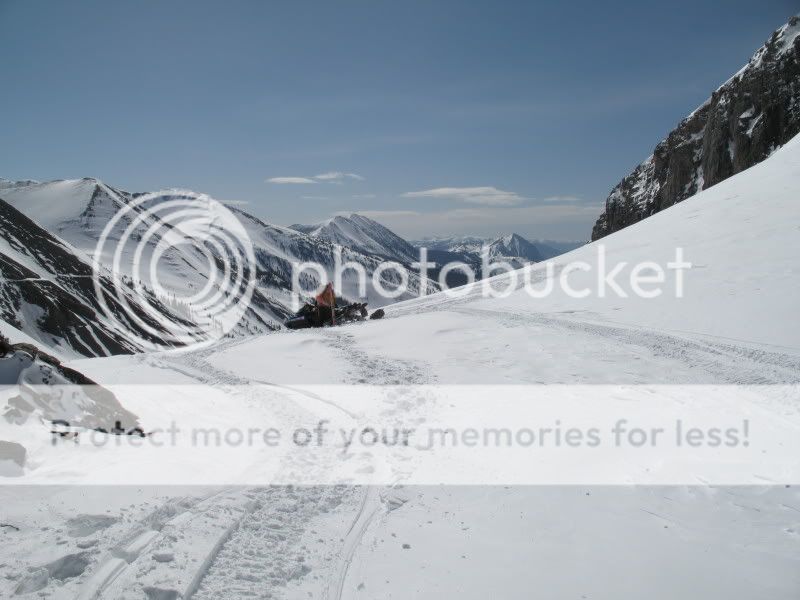
Straight ahead was the Yule Creek valley and the town of Marble.
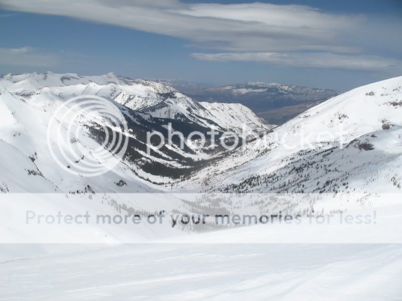
From the pass, we headed up the ridge towards Purple Mountain. The true Yule Pass mining road can be seen behind Ben:
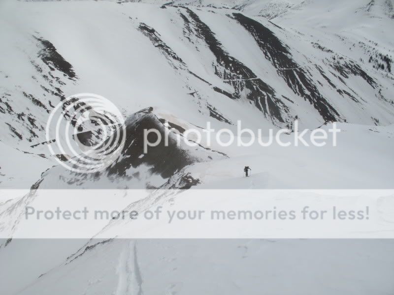
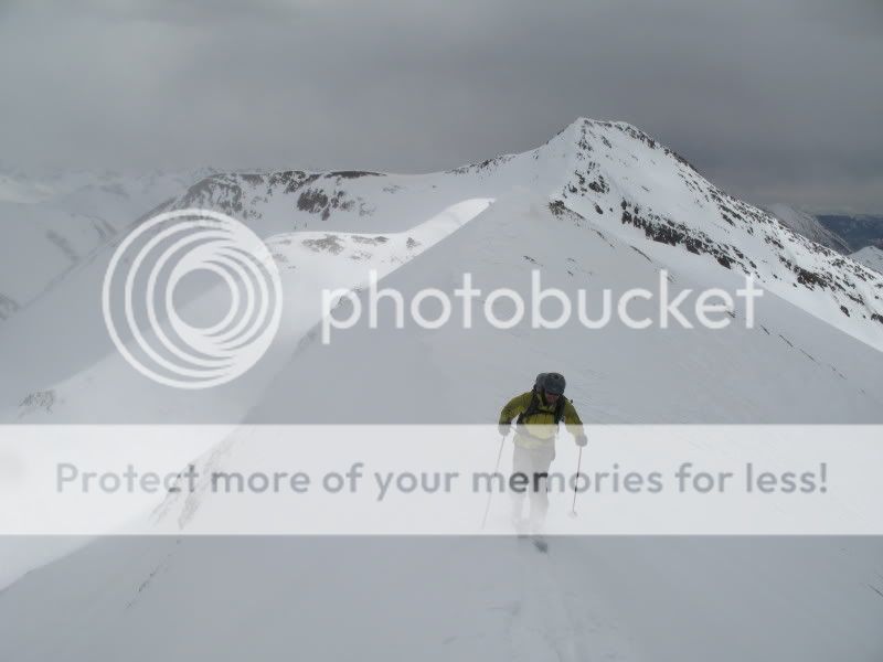
We by-passed the summit of Purple to head deeper into unknown territory, which I hadn’t even been to in the summer. Unfortunately, the weather (which was forecast to be sunny and calm) was turning to windy and gray. Ben skins onward, with Purple behind:
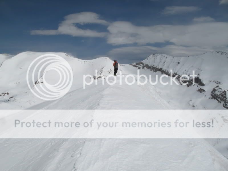
We summited the first peak after Purple, which is Unnamed 12,781′, but Marble skiers call it “The Blob”. Treasure mountain is on the left and Treasury is on the right behind Tom.
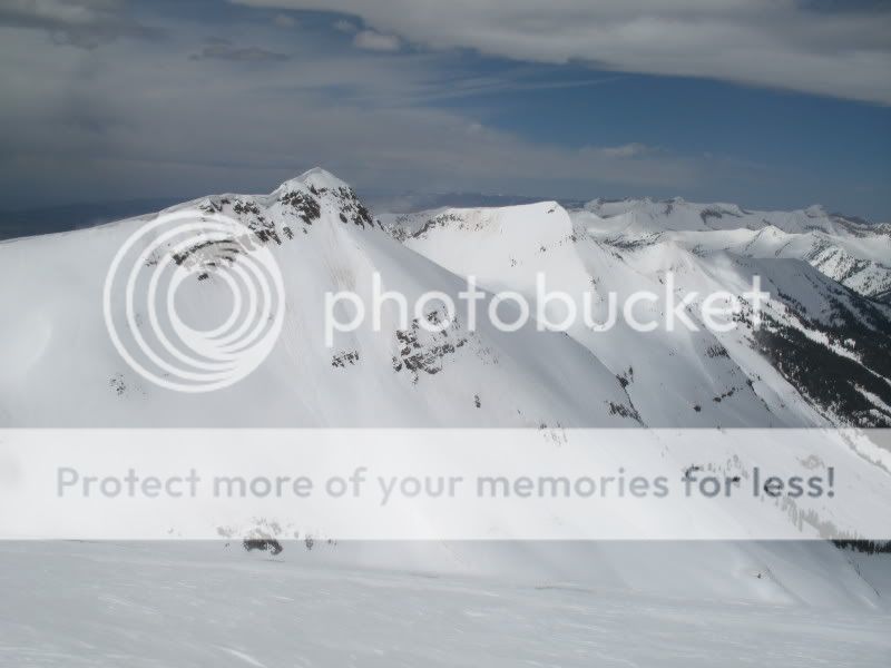
The next two mountains looked so much better than the one we were standing on. The first one is known as The Nipple, and the one after that is known as Ant. Just another couple of places to check out some other time…
The weather got even worse at this point, turning into a near whiteout while we backtracked towards some nice snow we had seen earlier:

The wind and poor visibility never let up and we had some difficult skiing “inside the ping-pong ball” as they say in the PNW where the light is often tough. This was a shame, since the snow was deep and high-quality, but up there we could barely see anything, let alone make nice turns. I didn’t even bother taking any photos. Once back at the snowmobiles, we went back down the rollercoaster, which I’d have to say is the funnest snowmobiling I’ve ever done.
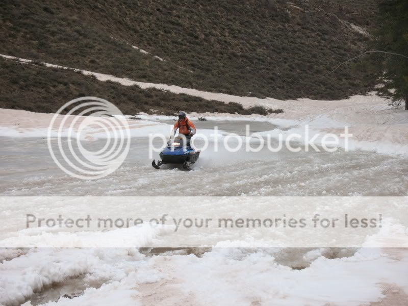
Near the trailhead, a small pond had formed and we couldn’t help but do a little pond-skimming. Tom:
- Bluebird Backcountry Ski Area - February 14, 2020
- Gear Review: Smith 4D MAG Goggles - January 6, 2020
- Gear Review: LEKI Tour Stick Vario Carbon Ski Poles - December 9, 2019

