The Other Green Lake (Aug 2012)
(Last Updated On: )
When most people in Crested Butte talk about the “Green Lake” trail, they mean the trail that heads up just south of town, and travels steeply through a thick forest, to reach a lake at the bottom of some chutes on the south side of Axtel. But, Crested Butte has another Green Lake. This one is located near Irwin, and is cradled in a basin between the magnificent peaks of Ruby and Owen. I had been to this area many times in the spring to ski, but the lake was always largely snow-covered. It was time to see it in a different season. So, I took my parents and their friend Barb for an afternoon hike during their visit earlier this month.
There are a few different ways to reach the other Green Lake. But, either way, hikers need to go to Irwin Lake and drive past the lake as far as they desire or as far as the road will allow their vehicle to travel. We found ourselves parking near the south side of Ruby.
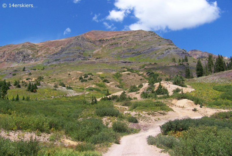
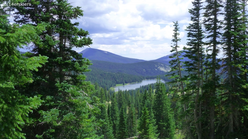
From there, we continued hiking on the road. Lake Irwin below.
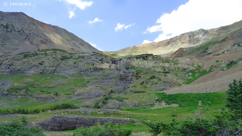
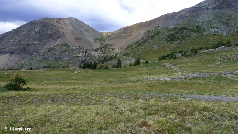
We walked on the road until we reached the area between Ruby (left) and Owen (right). From there, we decided to pave our own way through the grassy land. However, we could have stayed on the road and followed it around and up higher into the basin. Green Lake lies on the other side of the shelf shown in the picture.
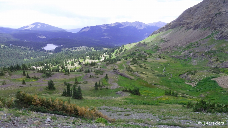
Looking back down after ascending for a bit.
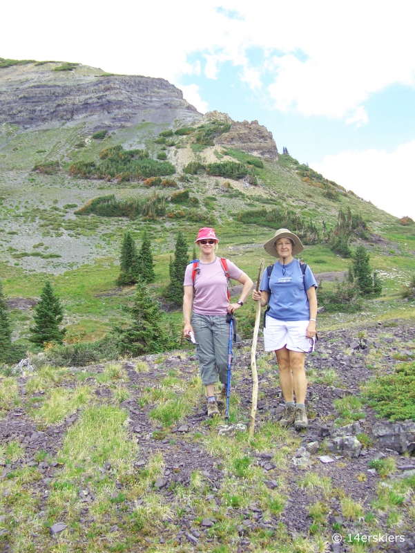
Susan and I.
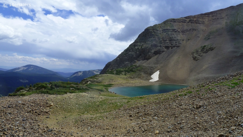
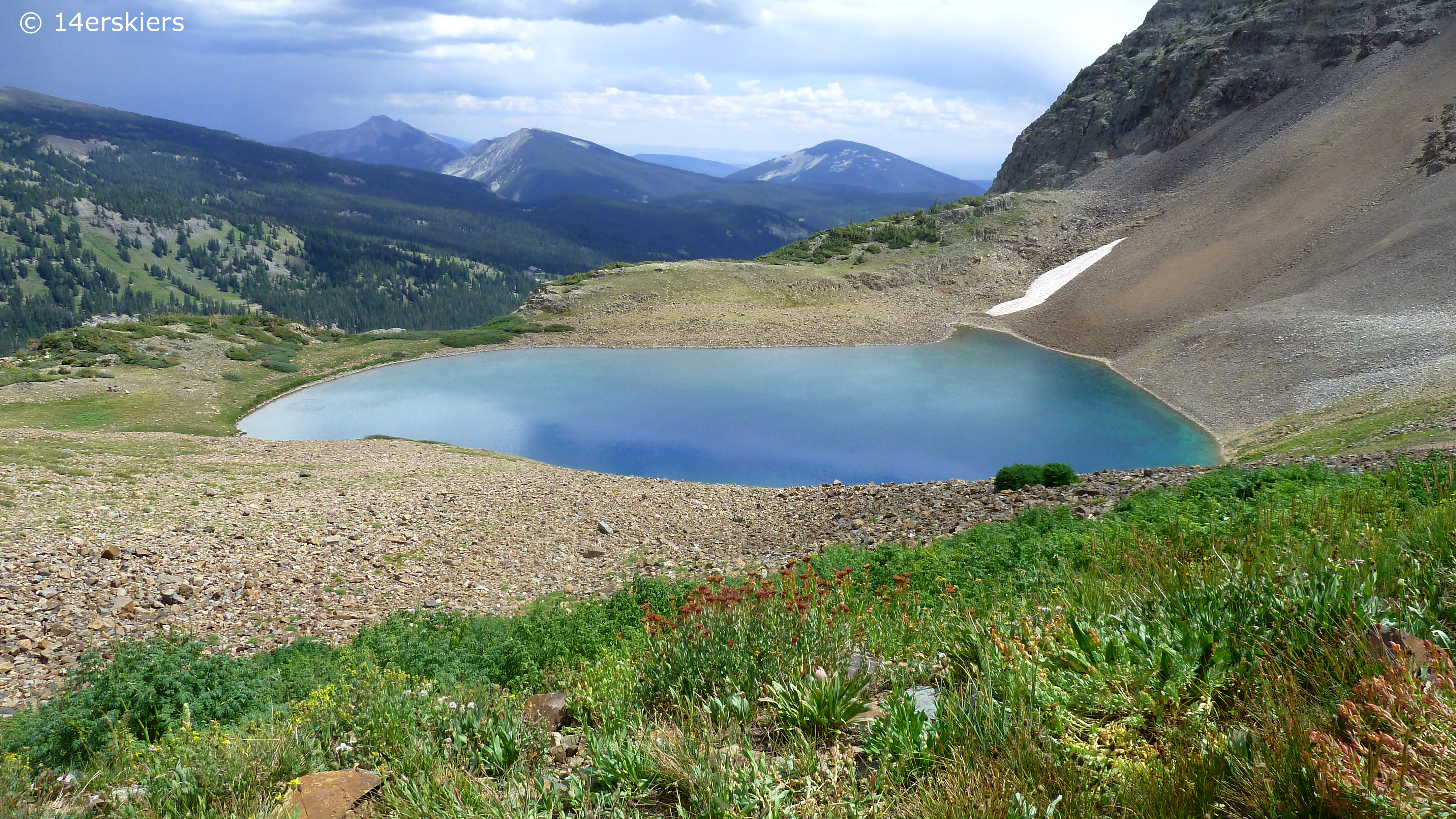
Green Lake.
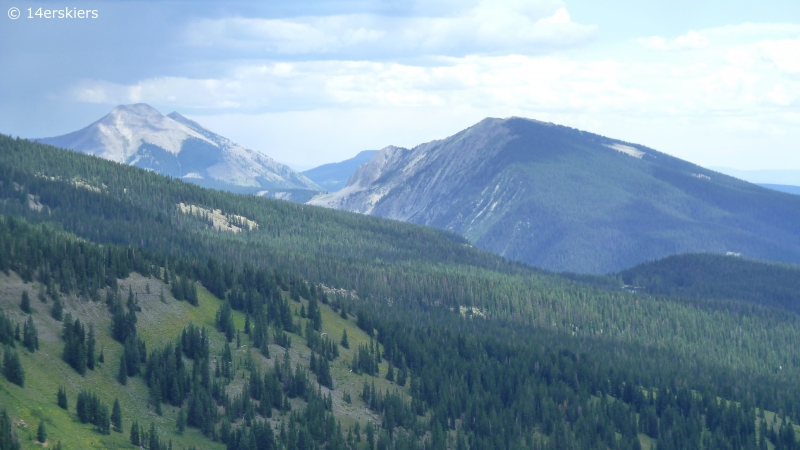
Whetstone and Axtell seen in the distance.
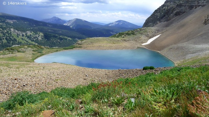
Another shot of Green Lake.
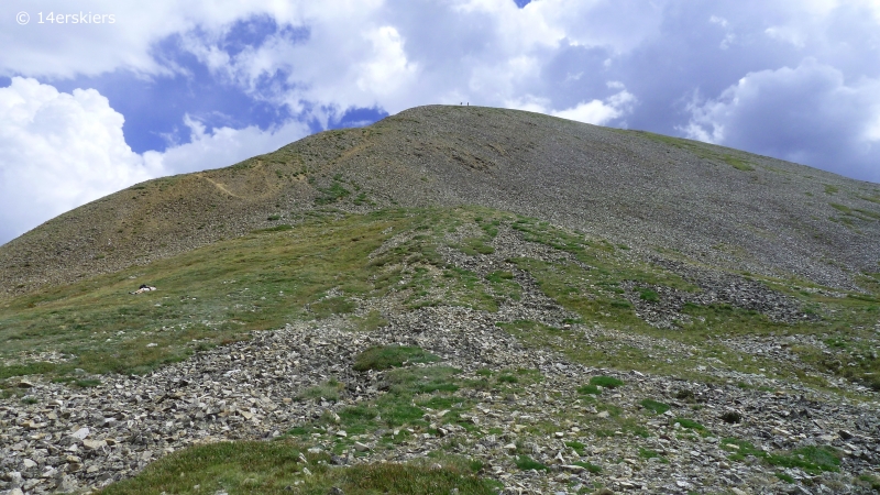
Green Lake is a fairly short hike. So, we opted to climb higher – to the saddle between Ruby and Owen. My Dad and Barb making their way to the saddle.
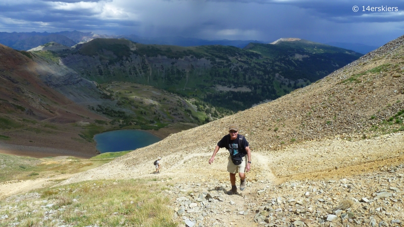
The view to the northwest, Grand Mesa in the distance.
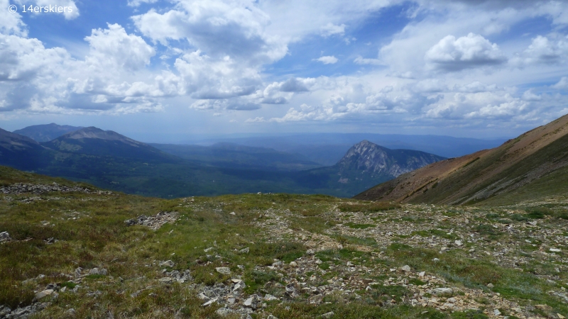
East and West Beckwith, with Lost Lake Slough below.
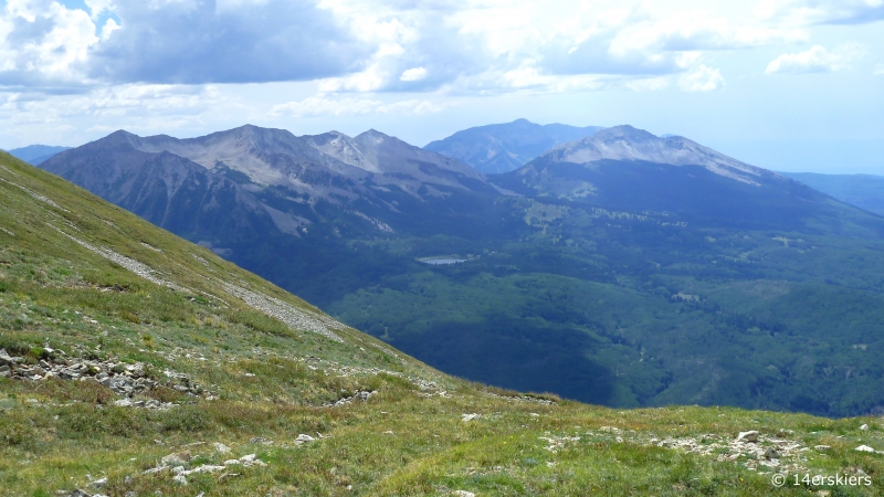
Marcellina.
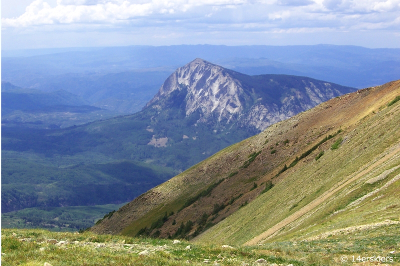
Looking northeast toward the Elks.
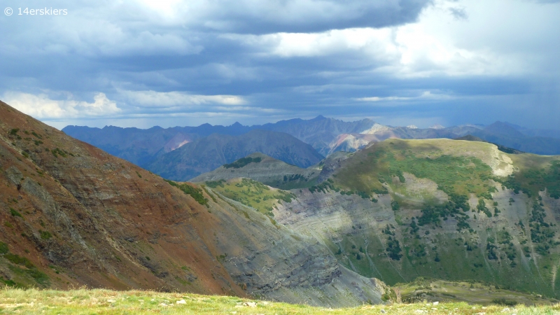
Susan arriving to the saddle.
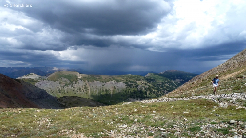
We contemplated climbing the additional 15-20 minutes to reach the summit of Ruby Peak. But with clouds building and thunderstorms clearly arriving, we decided it was best not to go.
One last view of the scene – Green Lake below and Scarps Ridge across the way.
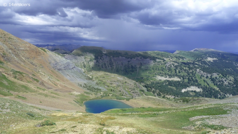
Looking back up at the Green Lake Basin from below.
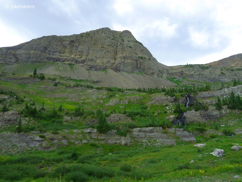
As it began to rain, I caught one last picture of Ruby (Ruby Chute) with a beautiful waterfall.
The other Green Lake is a wonderful hike, full of much more fantastic scenery than the standard Green Lake. I highly recommend it!
Want to do this hike yourself?
- Mount Buckskin (17 May 2020) - May 28, 2020
- Horseshoe Ski (14 May 2020) – The mountain whose journey nearly killed me - May 27, 2020
- Sayres X-Rated Ski (10 May 2020) - May 19, 2020

Aside from what I expect are really cold waters, are there any reasons a person wouldn’t want to swim or ‘dip’ in those little lakes? Do people do that?
Awesome pics Brittany. I’m really looking forward to hitting up that area with you this weekend.
For the most part, no, they’re just cold. Our latitude 40 map does mention something interesting about the “other” Green Lake (under Axtell), which I just happened to notice the other day. A big avalanche ripped through that area recently, and deposited quite a bit of dead timber within the lake that could snag a person. So there is that…
We don’t see too many people swimming in the alpine lakes. Most people looking to swim head to Long Lake.
Can you drive up to the lake? How far is the lake from the saddle?
Hi Jamie,
You cannot drive up to the lake. Driving and hiking directions for the Green Lake hike can be found on my hiking guide here: https://14erskiers.com/blog/crested-butte-hiking-guide/. It takes most people about 30 to 45 minutes to reach the saddle from the lake.
The locals have closed off the road to get to this hike. It was a waste of time 🙁
Thanks for the update Christina, and sorry to hear that your weren’t able to make it to Green Lake. It might be only one local, but unfortunately, until the USFS helps this particular local with their poor decision and poor attitude, this trail is not the best choice. It should be a short legal battle for the USFS if it comes to that.