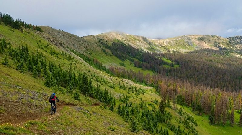
TBT: Fooses – Alternative descent off Monarch Crest (8 Aug2017)
(Last Updated On: )
This post is part of a Throwback Thursday series featuring trip reports that we haven’t had a chance to write about until now! Look for them on Thursdays!
The “Monarch Crest Trail” is among one of the most popular mountain bike rides in Colorado. The traditional route for this involves taking the Continental Divide Trail south from Monarch Pass and then descending down Silver Creek to end up on the east side of the pass. Some riders opt to add the Rainbow Trail at the end, which can be reached from the bottom of Silver Creek. However, Monarch Crest offers a host of other descent options. If you wish to end your ride on the west side of the pass, Agate Creek offers one of the best descents around. To the east, Green Creek, Starvation Creek, and Fooses Creek also offer alternatives to Silver Creek. This report focuses on the Fooses Creek route.
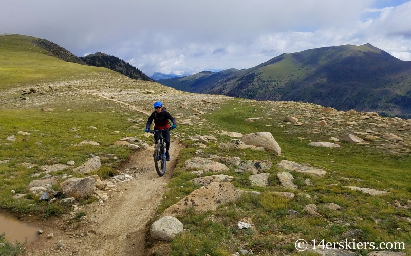
Like all of the Monarch Crest options, we started heading south on the Continental Divide Trail. The weather for the day was a little on the threatening side, and dark clouds swirled around us. That was one of the reasons why we chose Fooses for the day – it was the quickest and shortest route off the Monarch Crest!
Larry on the Monarch Crest.
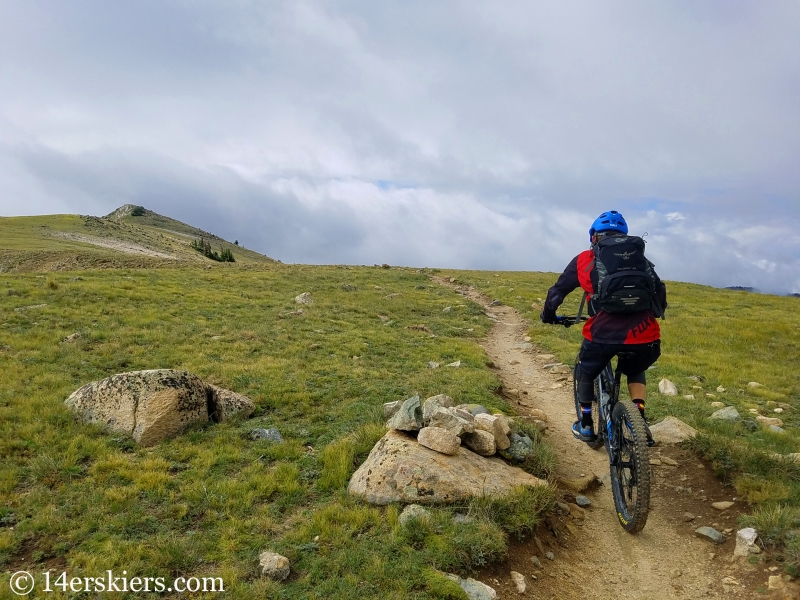
Me.
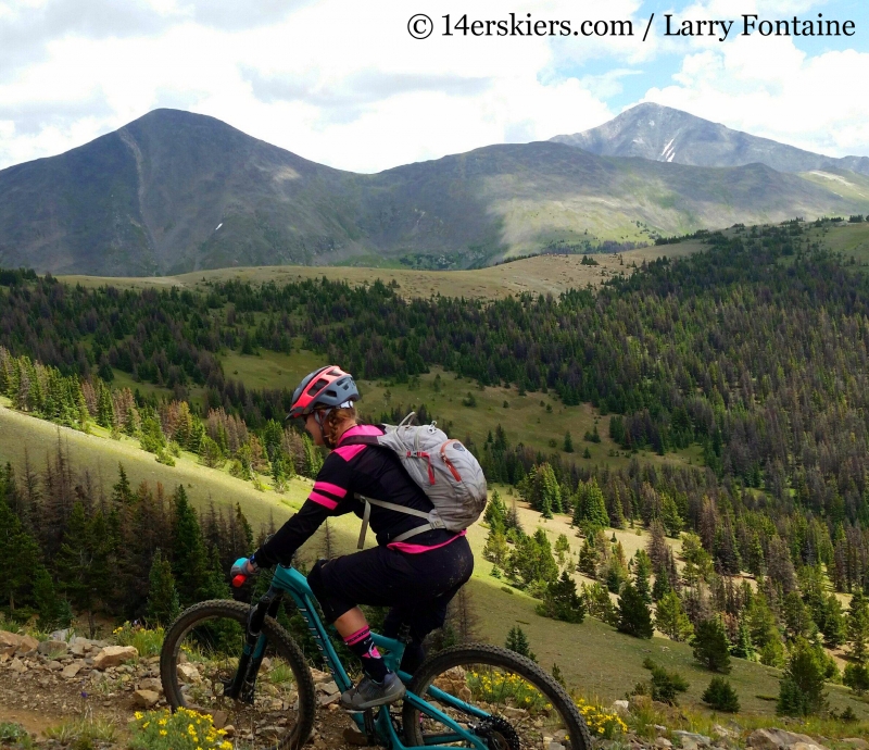
Fooses is the first descent riders reach on the Monarch Crest. Most pass right on by it. But, today, we would descend it.
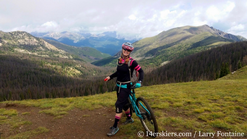
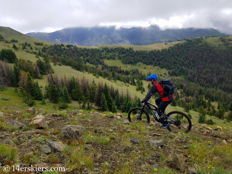
The descent down Fooses was really fun. Larry.
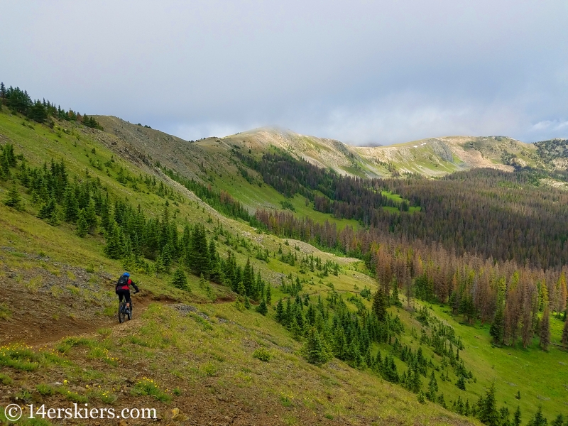
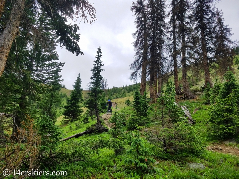
Fooses Creek had the most wildflowers of any area I have ever seen off of Monarch Crest. They were absolutely specatcular!
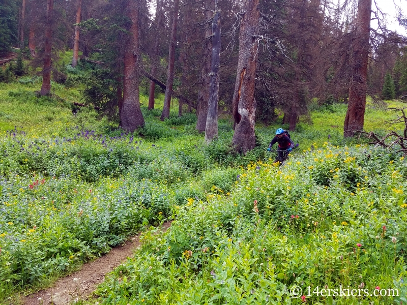
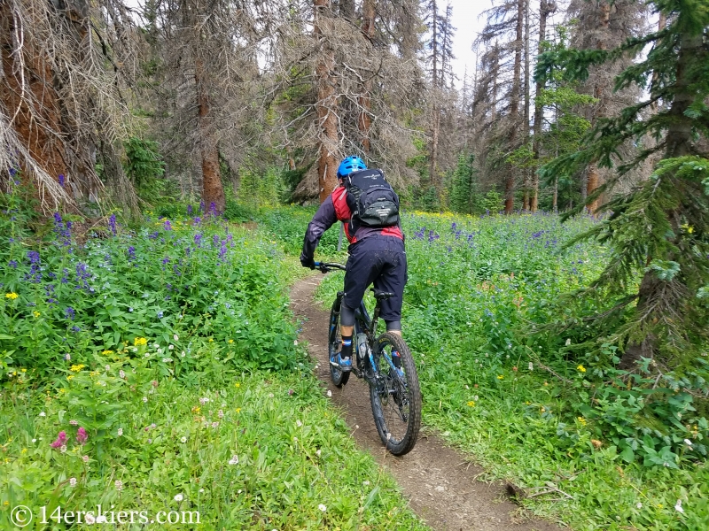
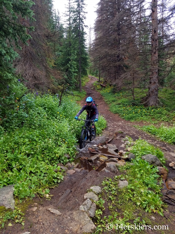
Me.
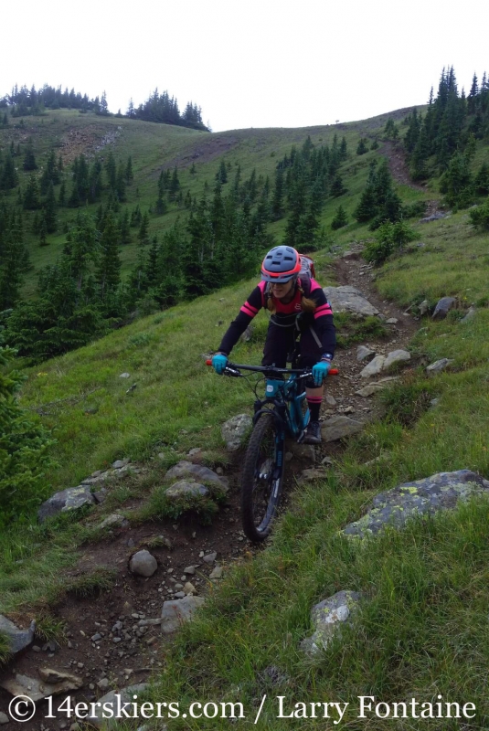
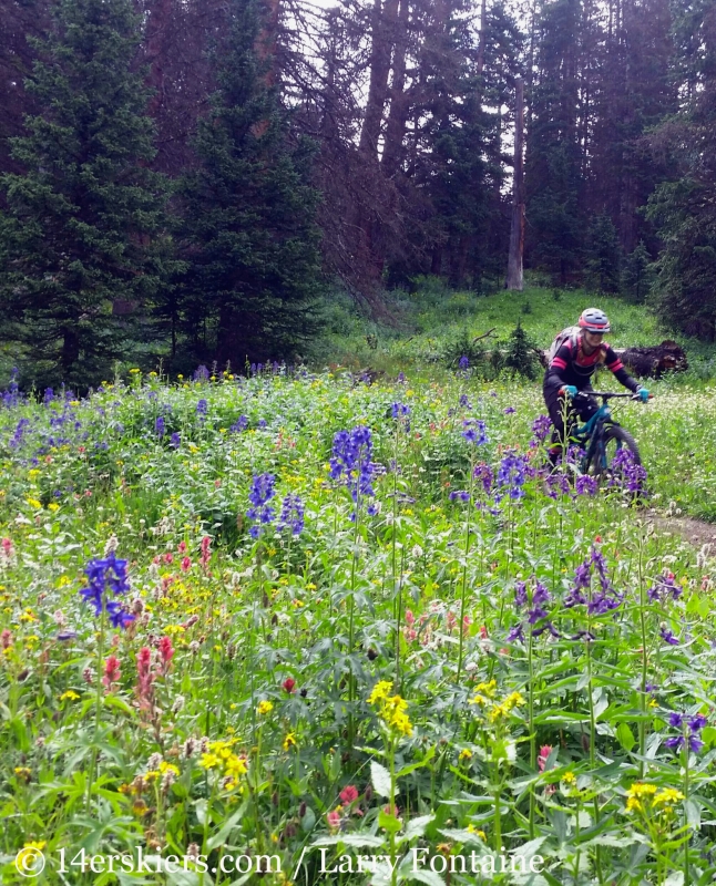
So, how did Fooses compare to the other descent options? Silver Creek is certainly the easiest descent and I think Green Creek and Fooses are among the most technically difficult. Both Green Creek and Fooses are rockier than the other descent options. I would say I actually had an easier time descending Green Creek rather than Fooses, although I think Fooses had a little more flowy sections at times compared to Greens. Either way, they are both pretty comparable in the end. Fooses is just shorter than Greens and certainly has more wildflowers!
After we rode Fooses, the weather began to improve and we headed up for another lap off the Monarch Crest, this time descending Agate Creek. Here’s a few shots from that.
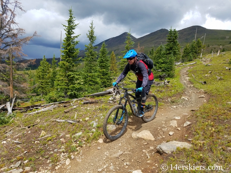
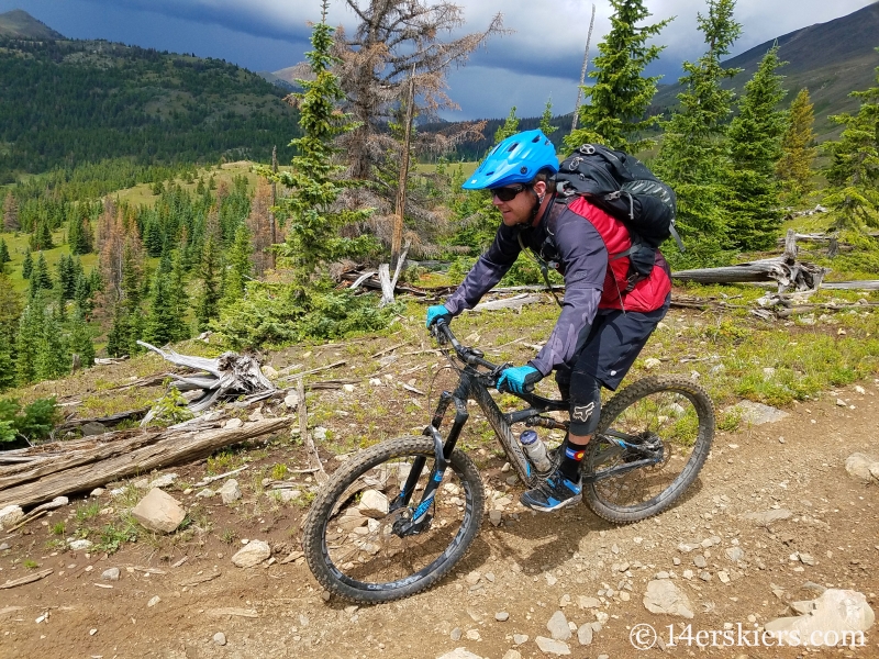
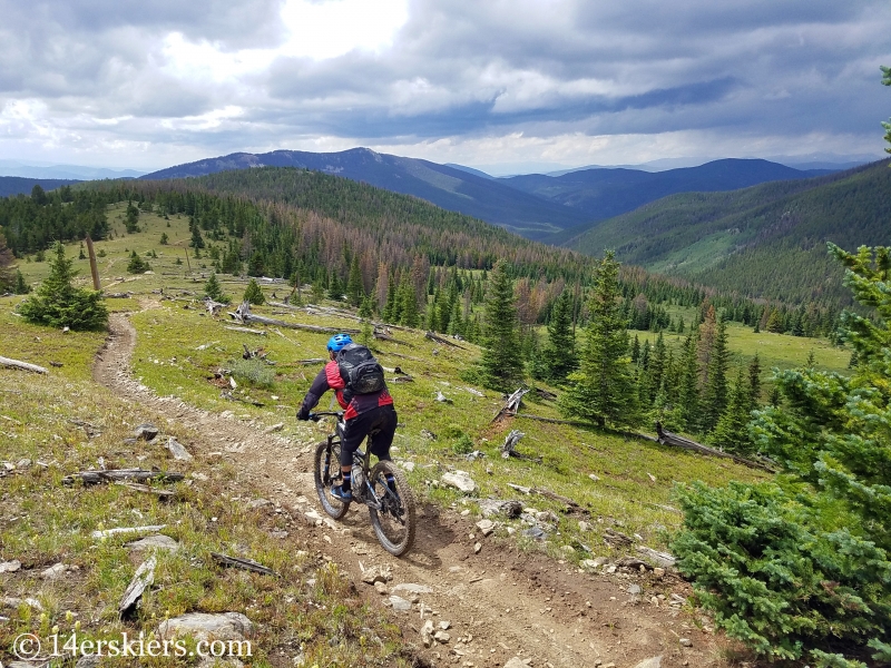
All in all, it was another great day riding in the Colorado alpine!
Want to do this ride yourself?
Here’s a map! Ride about 5 miles of the Monarch Crest until you reach Fooses. The entire ride is about 14 miles and is best done as a shuttle.
- Mount Buckskin (17 May 2020) - May 28, 2020
- Horseshoe Ski (14 May 2020) – The mountain whose journey nearly killed me - May 27, 2020
- Sayres X-Rated Ski (10 May 2020) - May 19, 2020


