TR: From Crested Butte to Aspen- Hiking East Maroon Pass (20 Aug 2015)
(Last Updated On: )
The morning air was crisp. Frost-tipped plants decorated the sides of the trail. The winds blew and held the scent of the next season, all signs that fall was knocking on our door.
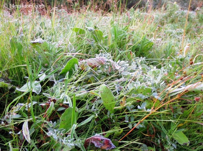
The southwest monsoon winds had shifted to northwest bringing the twinge of cool air. But, along with it came the smoke from the many forest fires in Washington and Oregon. Despite the haze in the air, it was good weather for a long hike.
A few years back, I hiked to Aspen via the more common West Maroon Pass. Since then, I’d been wanting to hike from Crested Butte to Aspen via East Maroon Pass, which is longer and therefore less crowded. I had tried periodically to get someone to join me for this hike but had been unsuccessful. Itching to do something different, I headed into the Wilderness alone. And I didn’t see a single person for 16 miles.
I began at the Judd Falls trailhead just after 8 am, following the Copper Creek trail toward Copper Lake and East Maroon Pass. It was a fairly late start for this hike, but no precipitation was in the forecast.
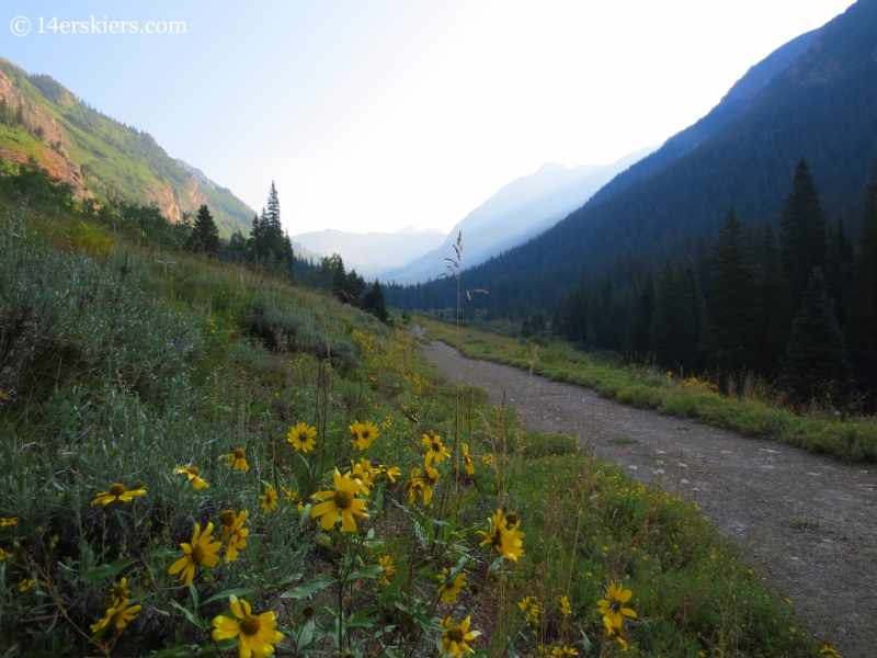
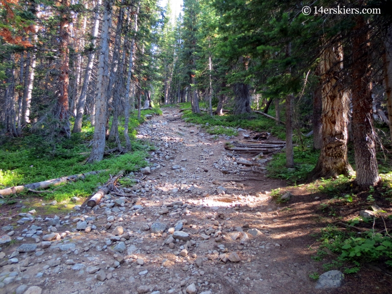
The Copper Creek Trail is pretty easy for many miles.
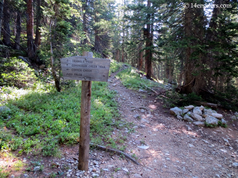
After about 3.5 miles I passed the turn off for Triangle Pass. Another turn off for this pass exists closer to Copper Lake as well. Although Triangle Pass does head toward the Aspen vicinity, I was heading to East Maroon Pass which sits just above Copper Lake. So, on to Copper Lake I went.
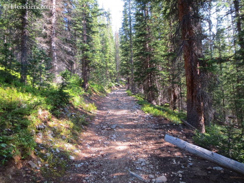
The trail got a little steeper until I reached Copper Lake.
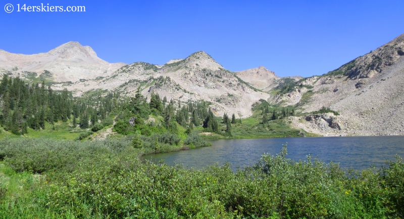
I reached the shores of Copper Lake after about 4.8 miles. As always, Copper Lake and the surrounding peaks were breathtakingly beautiful.
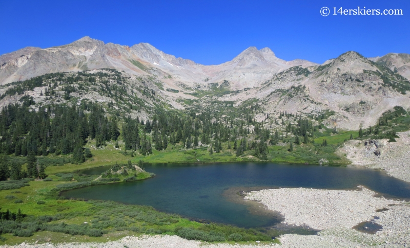
From the lake, I still had another mile to hike to the top of East Maroon Pass.
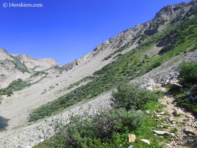
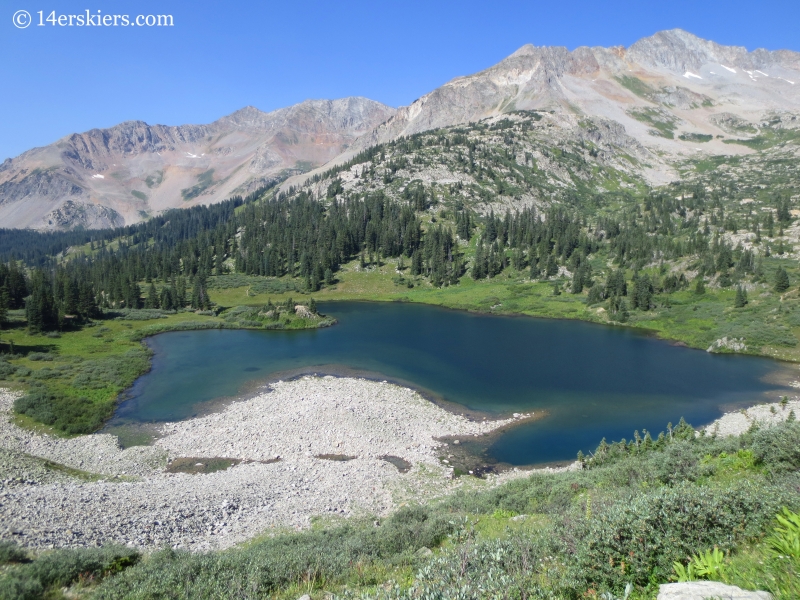
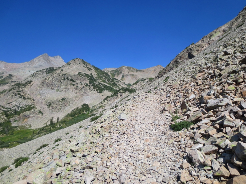
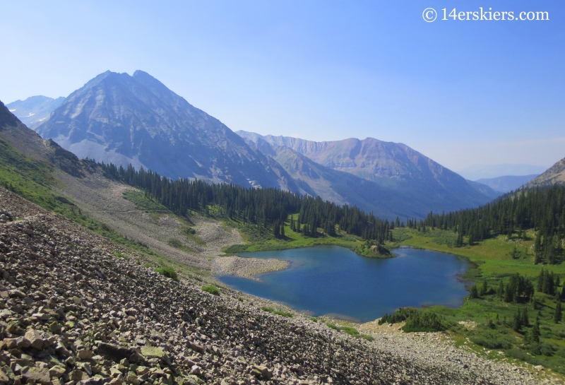
Looking back down toward the Copper Creek valley.
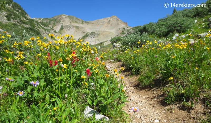
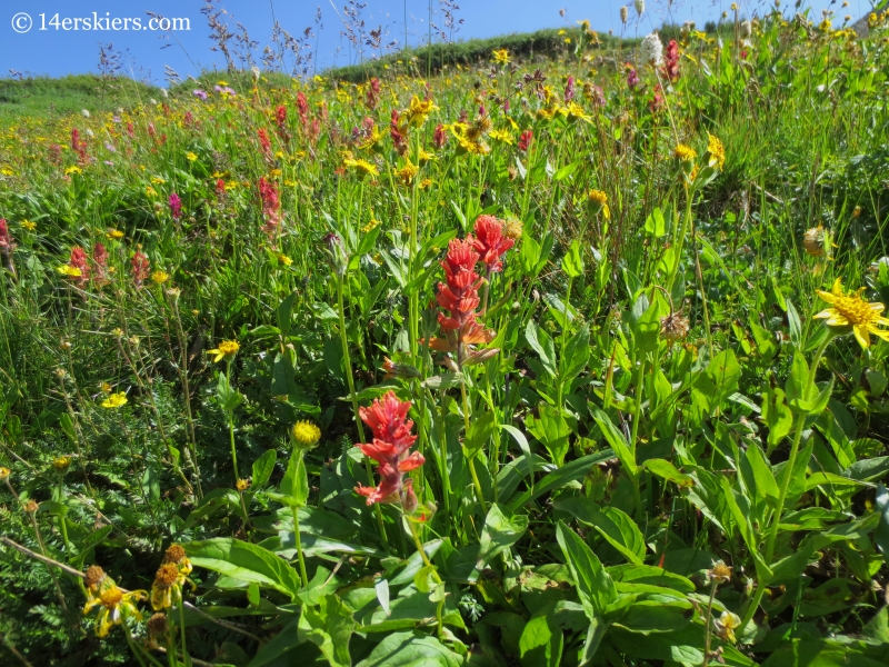
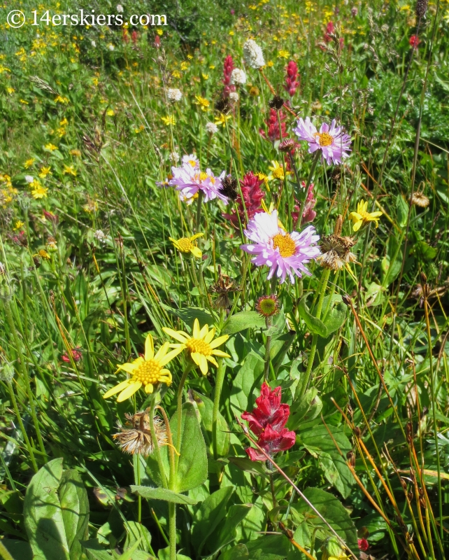
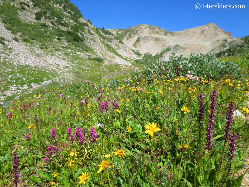
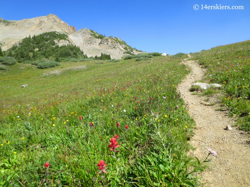
And then magic happened. The wildflowers were still at their peak just before the top of East Maroon Pass.
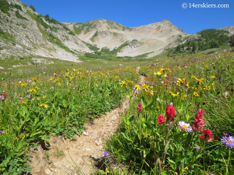
The last time I was here was during a May ski day on Precarious Peak and it looked like this. Bear prints lead the way to the pass.
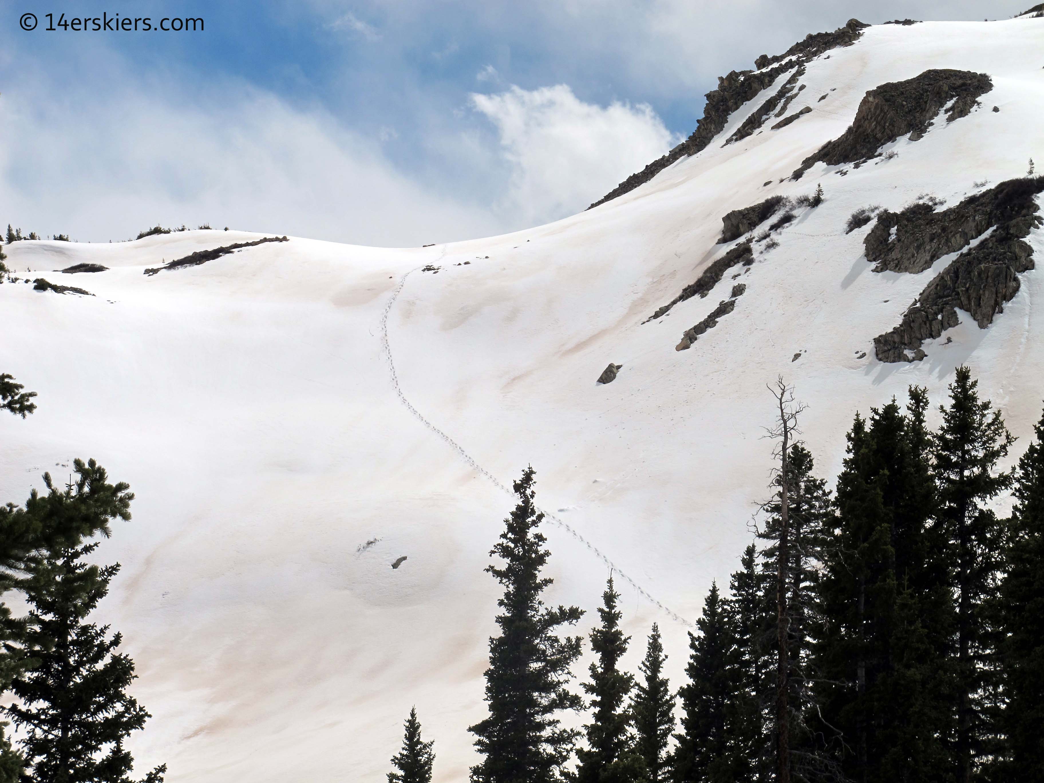
It looks a little different now! The top of the pass was just ahead.
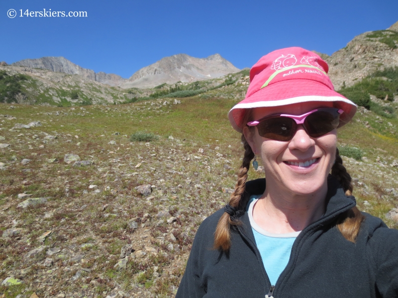
I hung out at the top of the pass for awhile to grab snacks and soak in the scenery. Mandatory selfie of course.
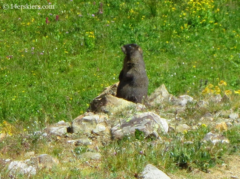
The marmot below kept a watchful eye.
I now had to descend more distance and elevation than I ascended- 10.5 miles and 2800′ vert. Looking down toward the East Maroon Creek valley on the Aspen side.
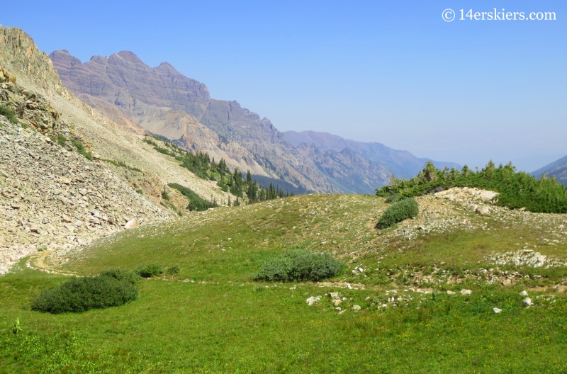
At first, the descent was fairly rocky.
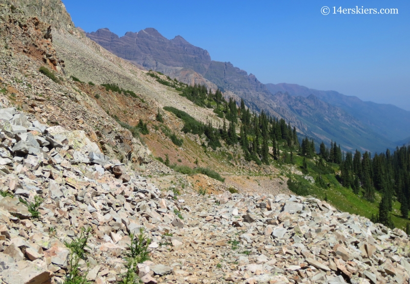
Since the trail began descending on the western side of the drainage, I got some good views of the peaks to the east – Keefe Peak, Hilliard Peak, and 13,537′.
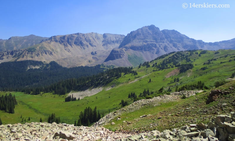
The mountains to the northwest were largely obscured, but were viewable from a few viewpoints that diverged a bit from the trail. A different view of the Pyramid Massif. Yeah, so much to ski. So much to ski….
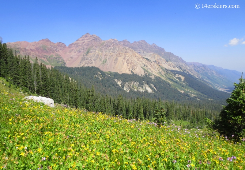
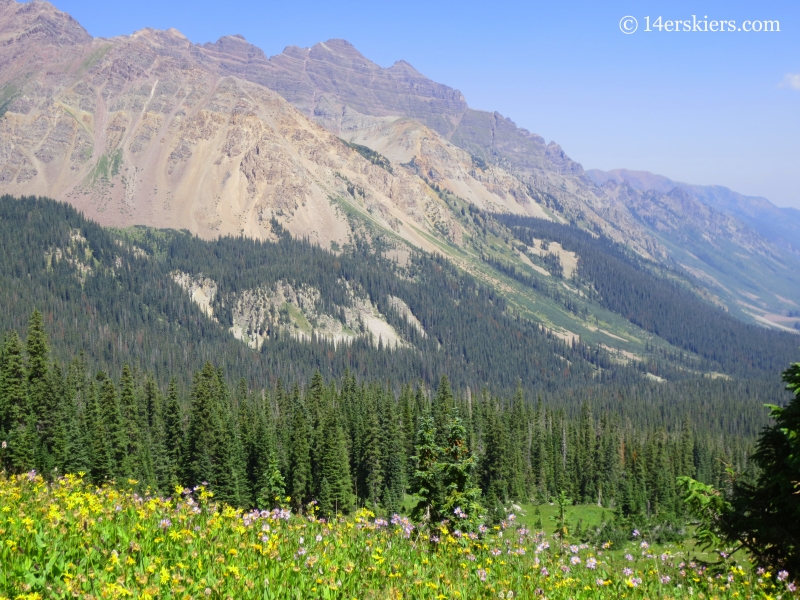
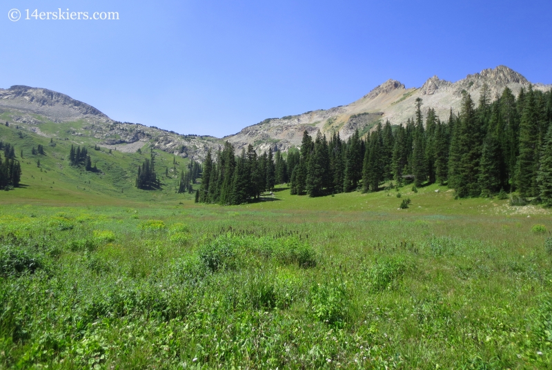
A mile down from the pass, I crossed the East Maroon Creek while traveling across this meadow. Looking back at East Maroon Pass.
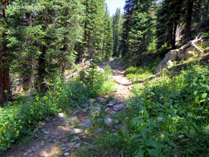
Now on the eastern side of East Maroon Creek, the next mile or so passed through thick forest and views of the mountains were practically non-existent.
Then the trees cleared and the mountains emerged once again. Precarious Peak stood dark in the distance. Yep, we skied that.
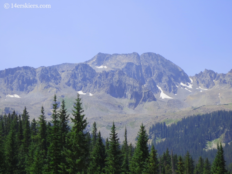
And, once again, the Pyramid Massif.
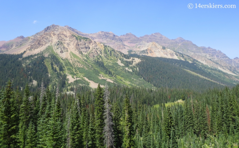
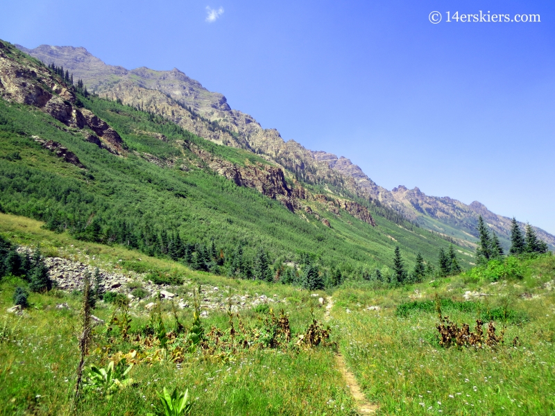
Then, the trail did a curious thing. It crossed the East Maroon Creek once again. I didn’t see this on any maps I’d seen from various resources, so it surprised me. Here, it’s basically impossible to keep your feet dry… I was now hiking on the west side of the East Maroon Creek.
No, it’s not a ski run. It’s a slide path. And part of it fairly new, with lots of timber from a somewhat recent avalanche below.
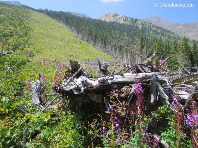
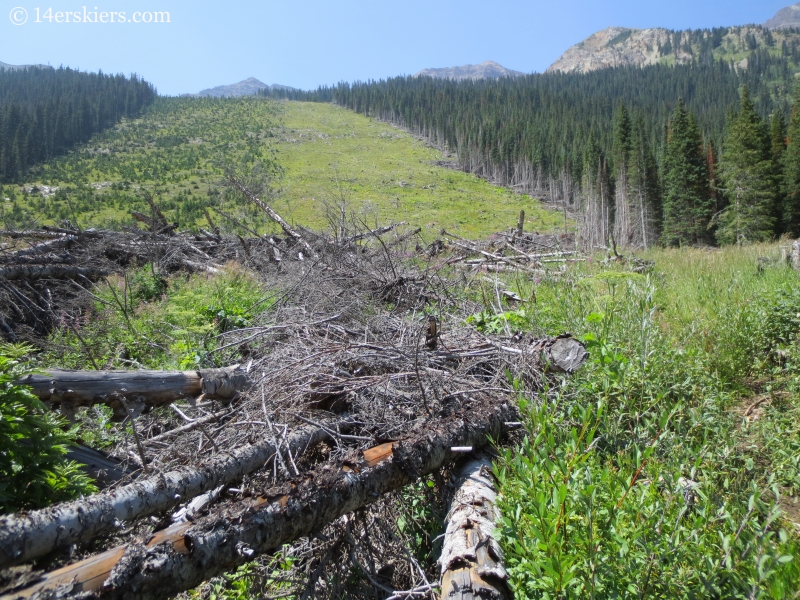
Thunder looking mighty nice.
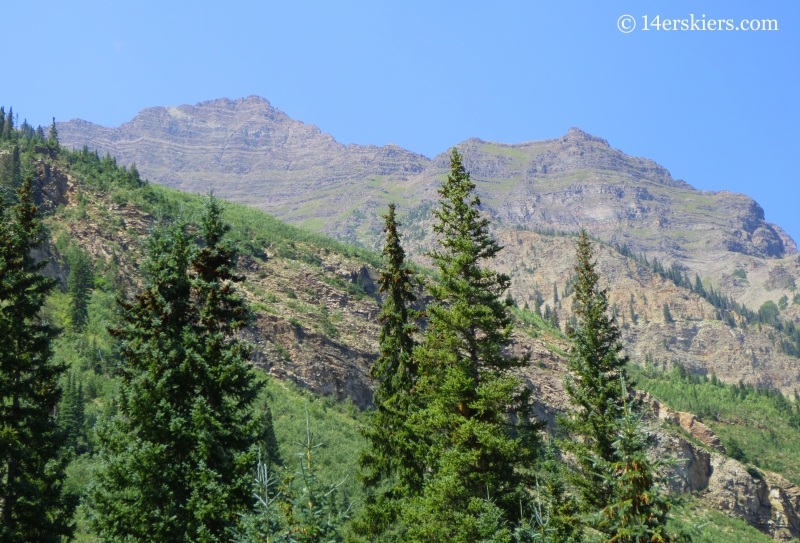
I got another great view of Pyramid Peak too.
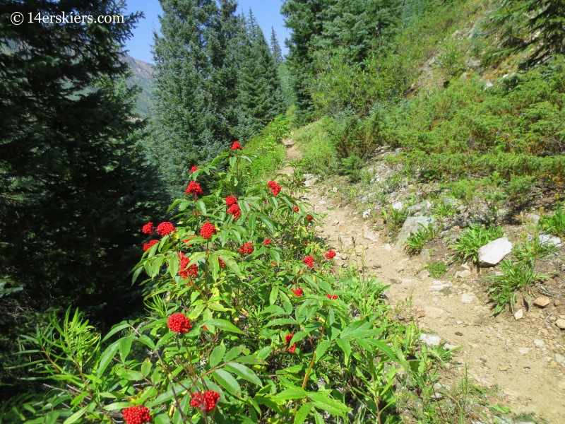
A little less than a mile after the last crossing, the trail crossed the East Maroon Creek once again and eventually met up with the original trail that was marked on my GPS. I believe these berries belong to Twisted Stalk, and they were in many places alongside the trail.
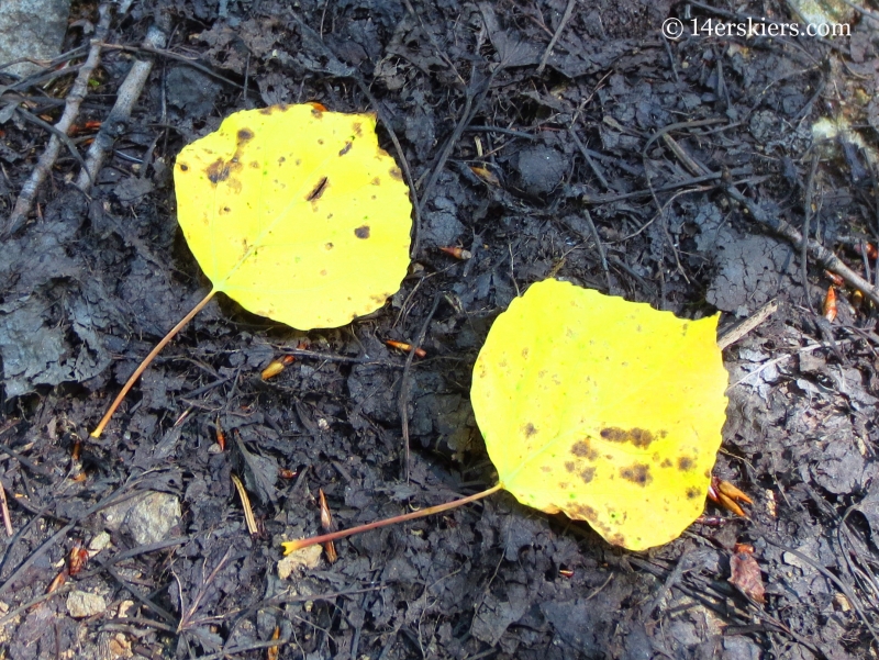
More signs that fall is near.
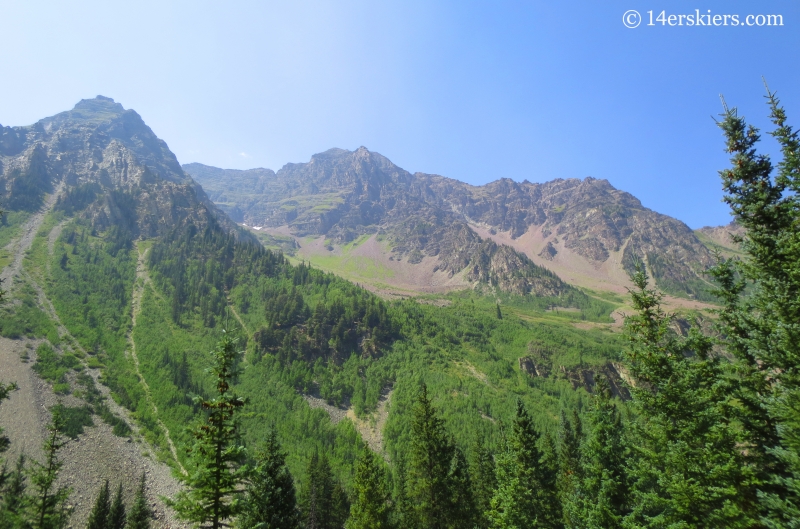
As the afternoon sun began to cast shadows in the smokey sky, the Pyramid Massif began to look even more complex.
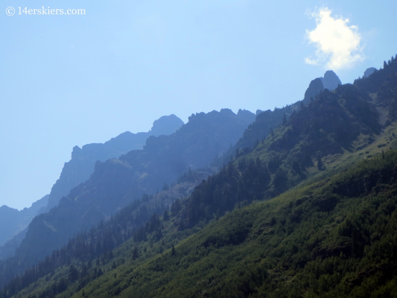
Onward.
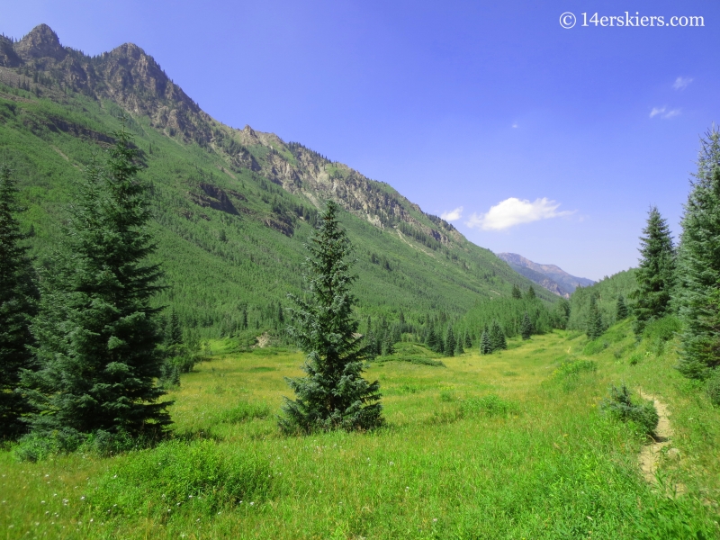
After 14 miles of hiking, I emerged into the Maroon Creek Valley proper and came upon a split in the trail where I had to make a choice. I could go right (east) to the East Portal or left (west) to the West Portal and then on to Maroon Lake. On the map, both looked the same to me. Having already done the East Portal route after skiing Pyramid Peak, I opted to head left, to Maroon Lake. Who doesn’t love the lake anyway?
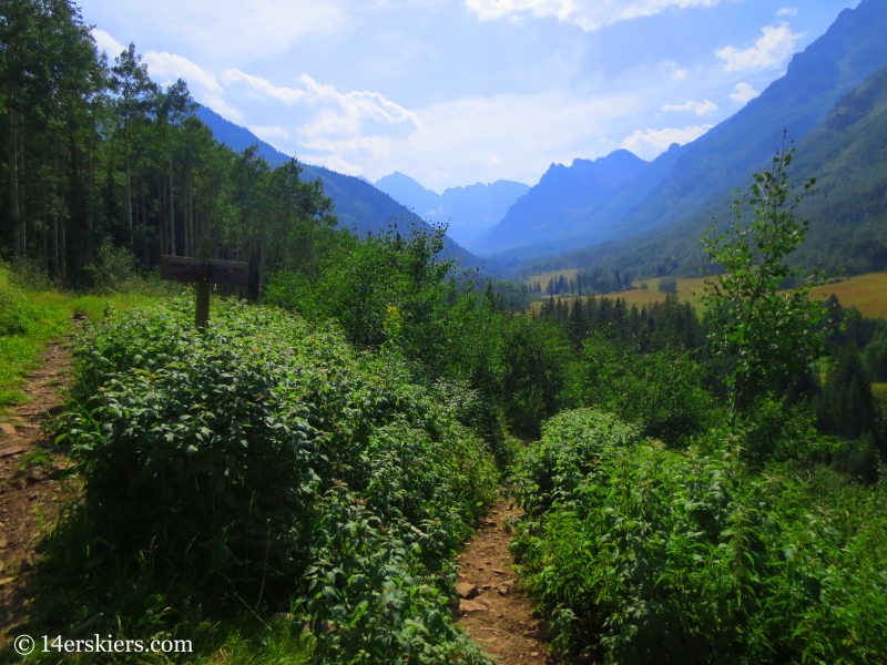
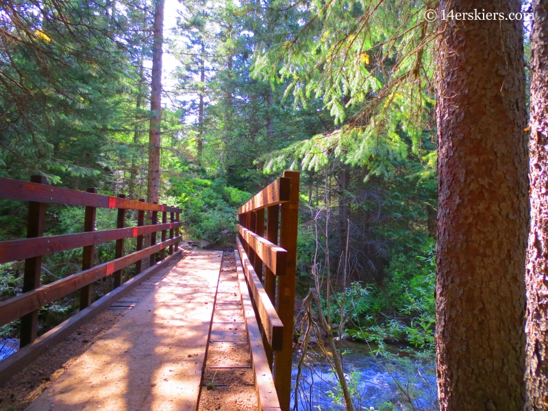
This section of trail paralleled the road to the south, and on the south side of the creek, passing through a wonderful forest. Nice to have a bridge.
It was a little over a mile hike to West Portal, where I had the choice to walk the road to Maroon Lake, or take a trail that paralleled the road to the north. Well, a trail is always nicer than a road, right? So, I took the trail.
Well, it was the wrong choice, I’ll say. The trail had been very clearly rerouted, and was a lot further than appeared on the map. It also had quite a bit of vertical gain- which, now approaching mile 16, I wasn’t quite in the mood for. To put the icing on the cake, it was also very muddy. It turns out the road would have been half the distance, with practically no vertical gain.
A mile later, I finally reached the beautiful Maroon Lake.
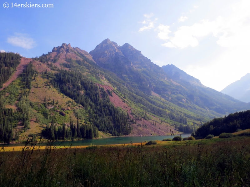
For those wondering, if I’d taken the trail to West Portal and then the road to the lake, the distance is 1.8 miles. Back at the trail intersection, if I’d taken the trail to East Portal, the distance would have been 1.7 miles – practically the same. My total hiking distance was almost 16.5 miles. But, avoiding the trail after West Portal and taking the road instead, would cut off a half mile.
But, that last stretch of trail after West Portal had taken me nearly a half hour, longer than I bargained for. And as I arrived to the bus pick-up, I realized I had missed the last bus by 10 minutes.
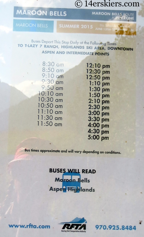
Dang it! So, I hitched a ride into Aspen, which was not hard to do. Frank was already on his way to come pick me up in town. We decided to head down valley for a nice dinner before driving back over Kebler Pass to Crested Butte.
What a fun day I had hiking East Maroon Pass. Nine hours of leisurely hiking, a good half hour stop at the pass, lots of picture taking, and not a soul until I reached Maroon Creek Valley. Maybe I should do this every year 🙂
Want to do this hike yourself?
- During July, August and sometimes parts of early September, it is best to get an early start to avoid usual afternoon thunderstorms
- This is intended to be a summer hike. If hiking in June or early July (or even mid to late fall) you may want to check the status of snow coverage on the trail. Contact the Aspen Ranger District.
- Instead of having someone pick you up in Aspen, you could spend the night and return via West Maroon Pass the next day
- Want a ride back to Crested Butte but don’t have one? See if you can get one with Dolly’s Mountain Shuttle.
- Need a ride to the Judd Falls / Copper Lake trailhead near Crested Butte? Or from the trailhead (hiking in reverse)? Again, call Dolly’s Mountain Shuttle
- Prefer to have your own car waiting for you at either end of your journey? Check out Maroon Bells Shuttles
- The Maroon Bells bus does not run all hours and may not be running during “off-season”. For bus info click here.
- If you are hiking from Aspen to Crested Butte, the shuttle may not leave early enough for you to use it. You may need to find alternate transportation to Maroon Lake. Consider arranging a taxi if you don’t have a car.
Get the gear you need for your hike!
- Mount Buckskin (17 May 2020) - May 28, 2020
- Horseshoe Ski (14 May 2020) – The mountain whose journey nearly killed me - May 27, 2020
- Sayres X-Rated Ski (10 May 2020) - May 19, 2020


Best Trip Report I’ve read on this trail. And thanks for the pics too. They will help us on our hike in July 2016.
Thanks Scott for your kind words! Hope you have a great hike this summer 🙂
Hey Brittany, how long did this trail take you total? My friend and I are doing it next week and are taking West Maroon on the way there, looking at returning this route. We both live in Vail Valley and do a lot of hiking. Thanks! -Ashley
Hi Ashley, I don’t remember exactly how long it took but I am pretty sure it was around 7 hours or so with the hike all the way to Maroon Lake! I definitely stopped to enjoy the views though!
Great write up. We did it yesterday and all I would add is to plan for water crossings; I think we had to take our boots off 6 times, although one time we probably could have crossed and kept dry, all of which is time consuming. And I would not recommend crossing in bare feet as the rocks are pretty rough; surf sandals saved us. Obviously water depth varies according to recent weather, but it was worse than we had expected, so be prepared. And we did in just under 9 hours at a leisurely pace.
Thanks for the tips Paul! Glad you had a good hike!