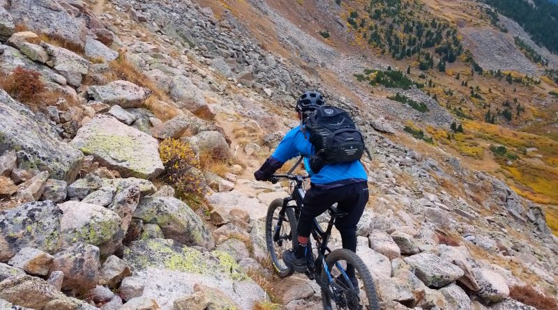
TR: Lenawee Trail by Mountain Bike (20 Sept 2016)
(Last Updated On: )
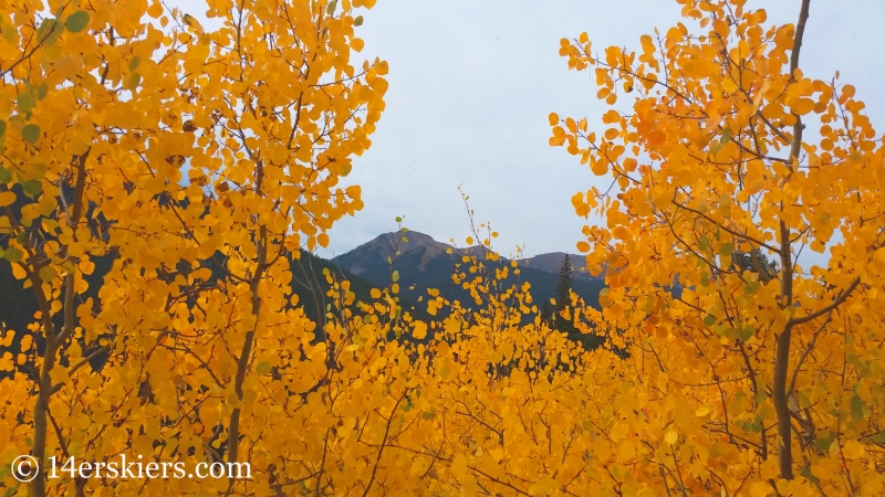
Riding in the alpine is one of my favorite things to do. If I can’t ski above treeline, then I want to ride above treeline. The leaves were becoming brilliantly gold – a beautiful sight for sure. But, also a reminder that winter was approaching. An upcoming cold front that was to bring snow to the high country was in the forecast. Alpine riding was quite possibly about to come to a close.
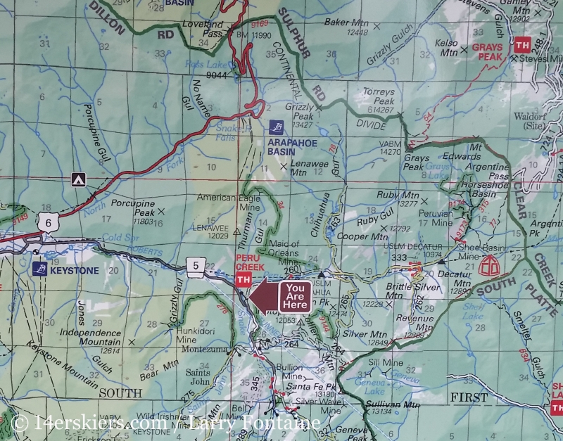
Earlier this summer, our friend Larry turned me on to this Lenawee Trail. Lenawee Mountain (13,204′) is a peak whose slopes are often skied right from Arapaho Basin Ski Area. Lenawee Trail crosses diagonally along its southern slopes, never very close to the summit, spanning from Arahahoe Basin to Peru Creek. Only 3.5 miles, it’s a somewhat short, but very awesome mountain bike descent. Since we knew our alpine biking days were numbered, this seemed like a good choice before the oncoming cold front. This also happened to be my 6-week celebration, post-knee-surgery (bone graft).
Typically, Lenawee Trail is ridden as a loop or a shuttle. Riders ascend the access roads of Arapahoe Basin and descend Lenawee Trail to Peru Creek. But, this day, Loveland Pass was closed due to an accident and US 6 was closed at Keystone Resort. We assumed the accident involved a hazardous chemicals truck and figured riding by it was not an option (We found out later that it was actually a beer truck and we should have gone and licked up some beer off the road) so we decided to just ascend what we would descend. We’d bike/hike up the 3.5 miles of the Lenawee Trail from Peru Creek to A-Basin.
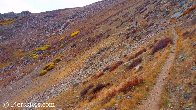
We rode some parts, but mostly we did a lot of walking. I think that most of the trail is rideable up for those willing to put in the effort.
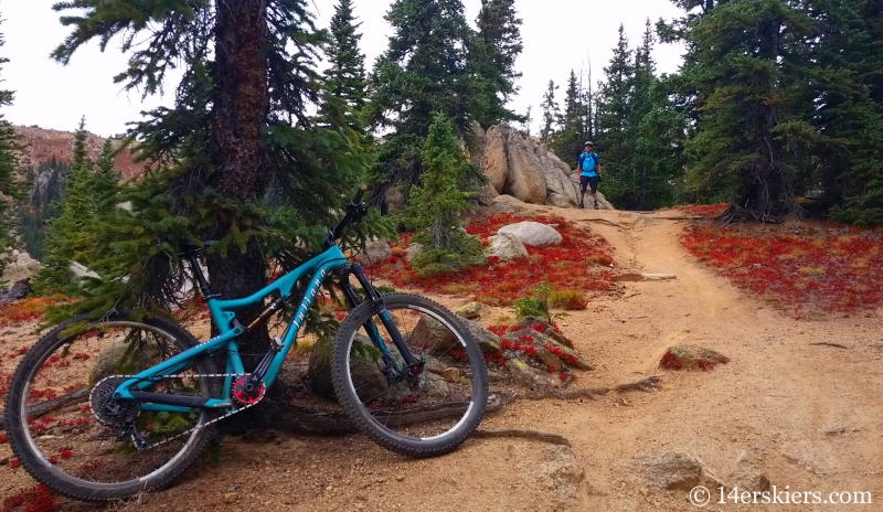
The undergrowth was a rainbow of colors – like this blood-red foliage which I believe was kinnikinnick.
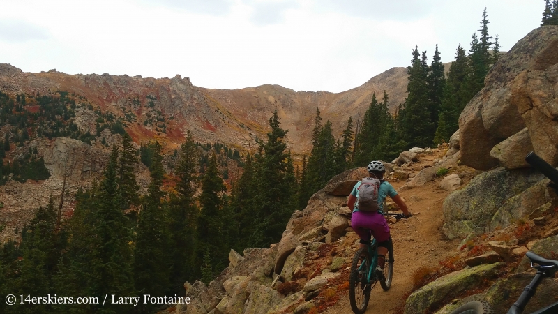
As we climbed, it kept getting more and more beautiful.
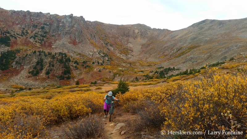
Always dreaming of what these landscapes look like in spring….
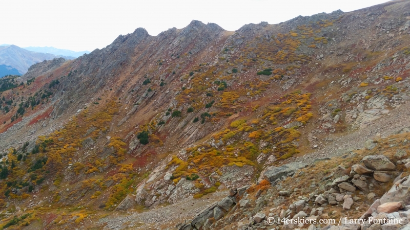
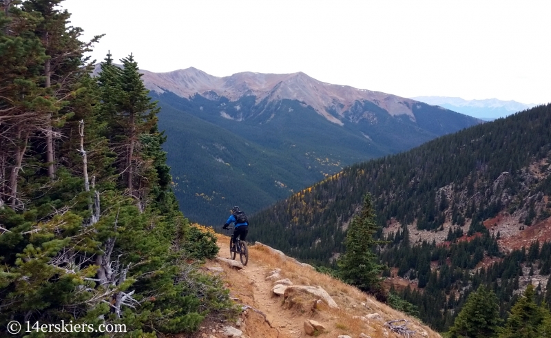
Larry making his way to the top.
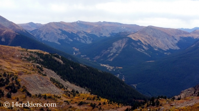
The town of Montezuma below.
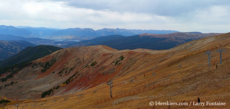
When the trail reached the ridge, it rounded the corner to immediately reach the boundary of Arapahoe Basin ski area. From there, it descended about 100 vertical feet to the top of the Zuma lift. There, the single track stopped, and so did we. Views of A-Basin.
After hanging out at the top of A-Basin for a few minutes, we turned around and retraced our tracks. First, a tiny bit of up….
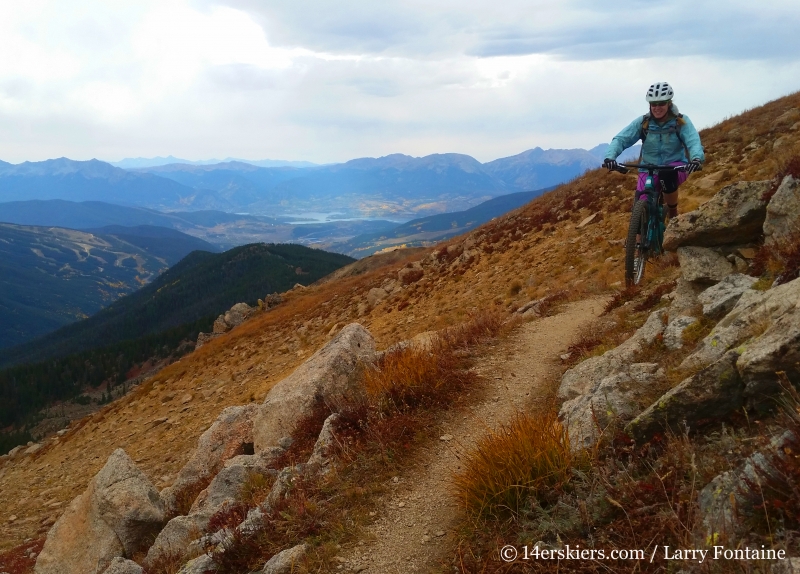
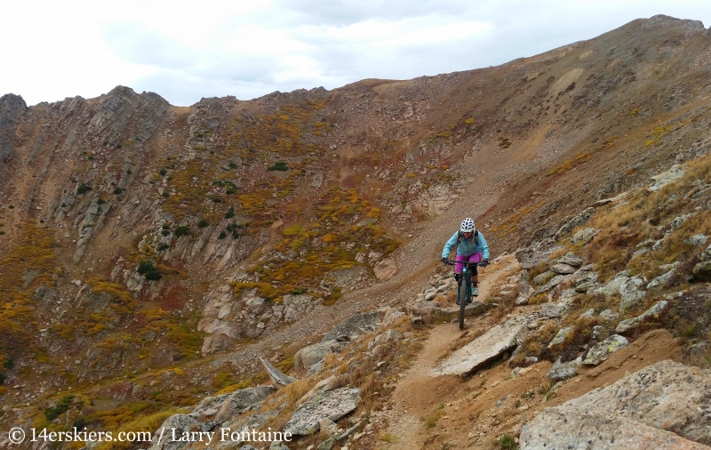
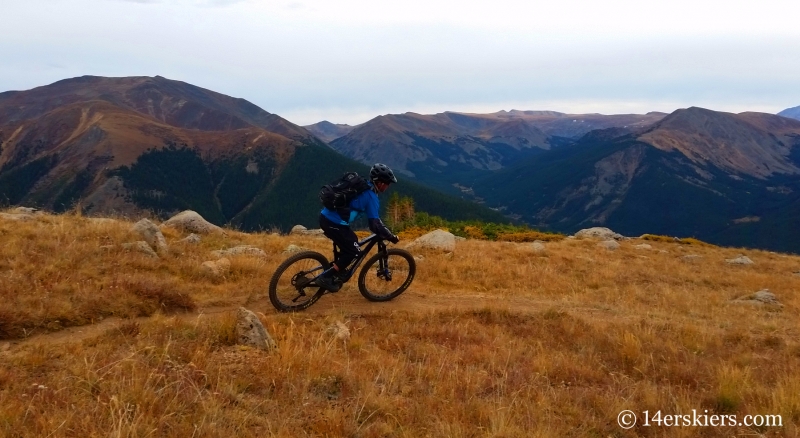
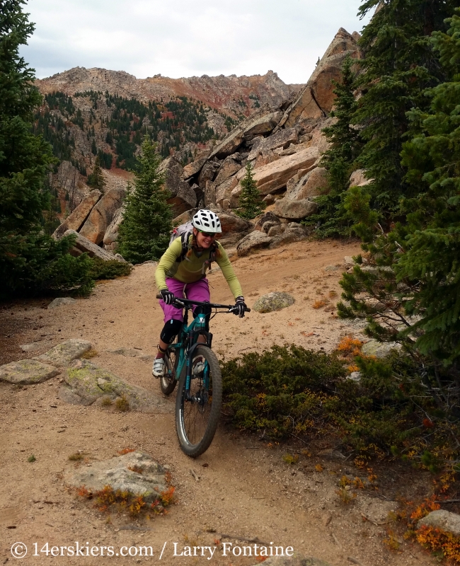
Then the descent…. which felt much longer than 3.5 miles. Some shots of Larry above treeline.
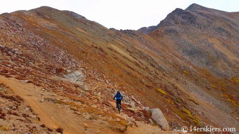
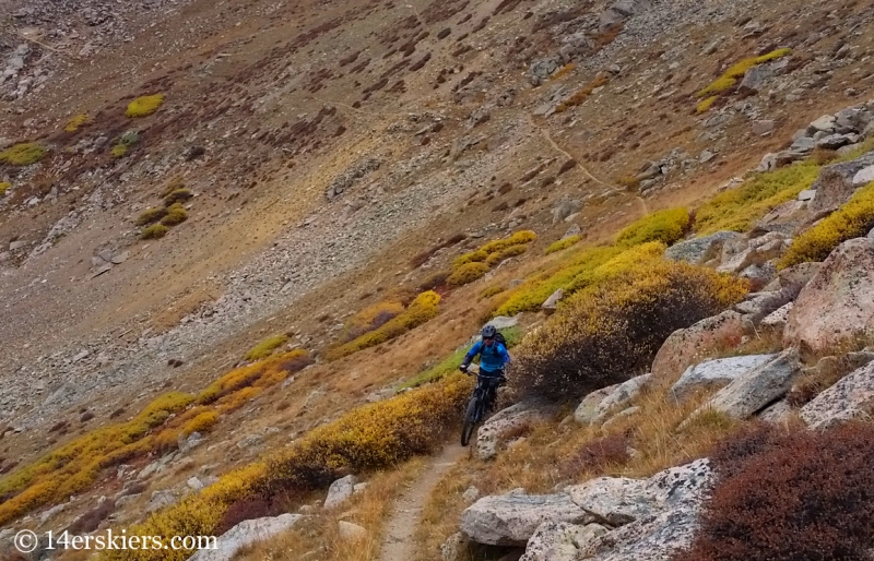
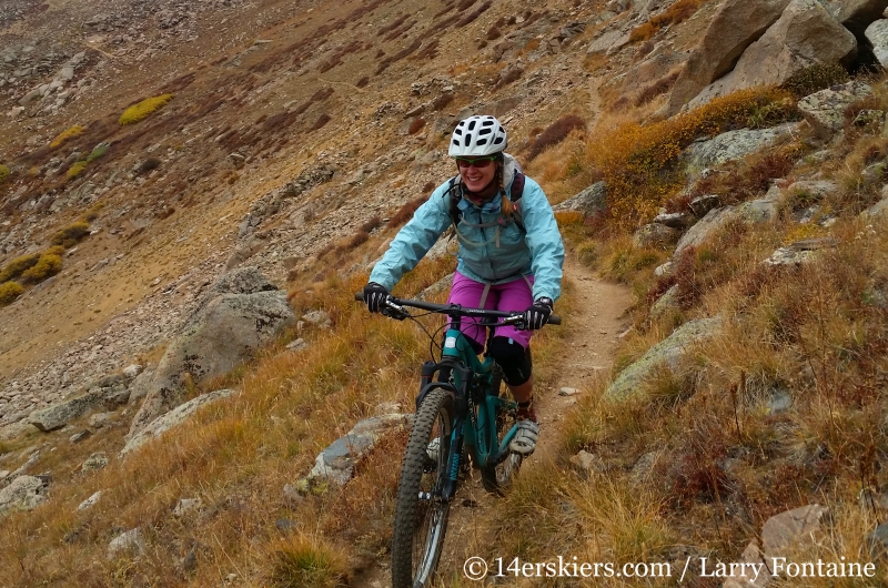
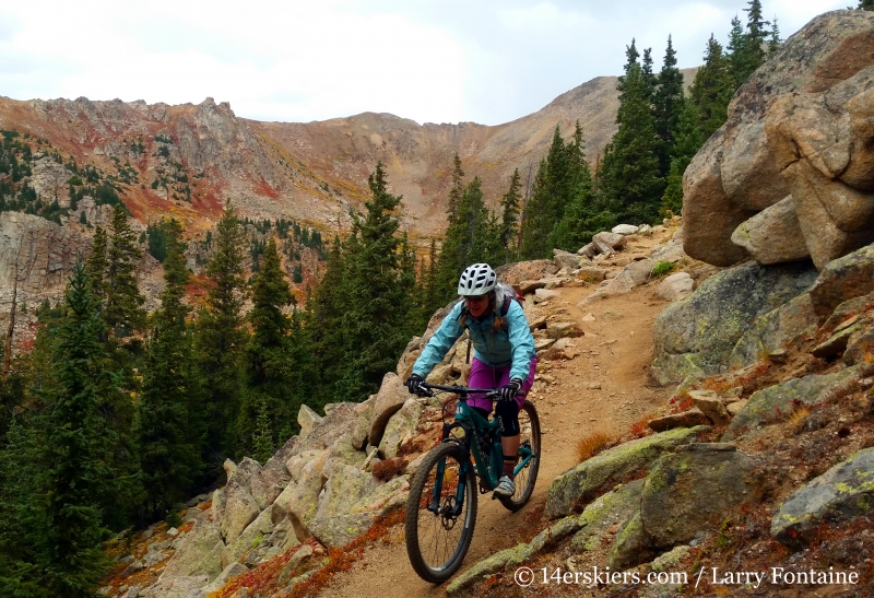
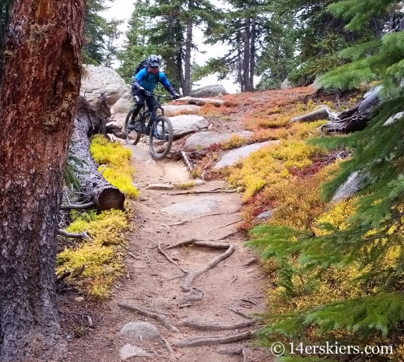
For the first half to 3/4 of a mile, the trail was fairly exposed, but only moderately technical. This was one of the 2 or 3 rock gardens.
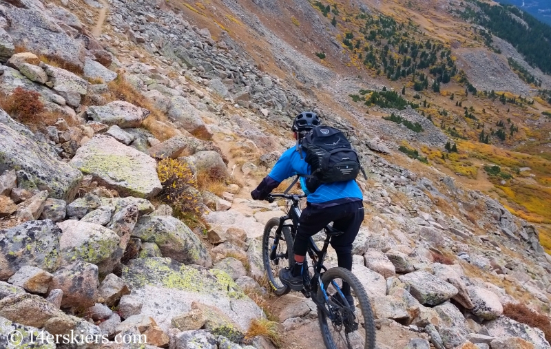
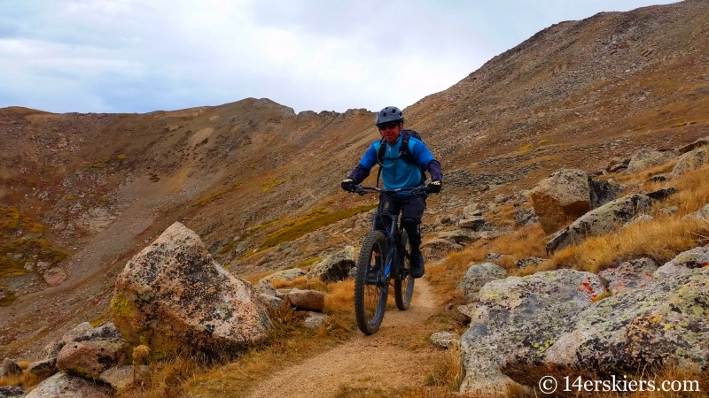
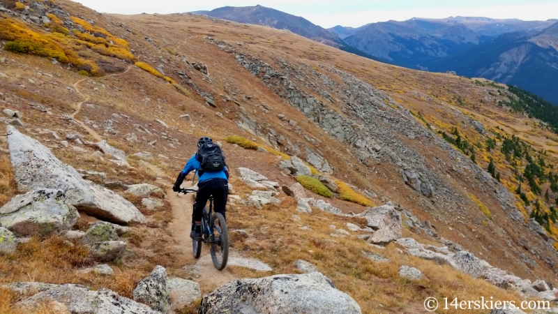
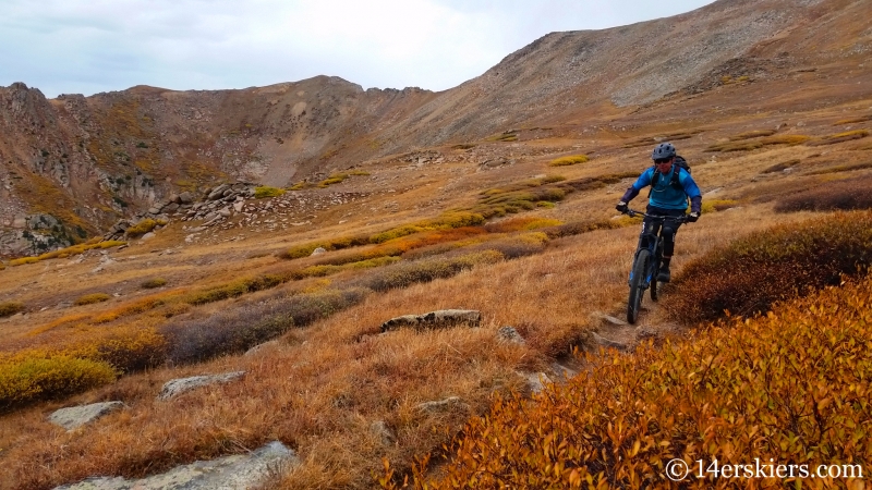
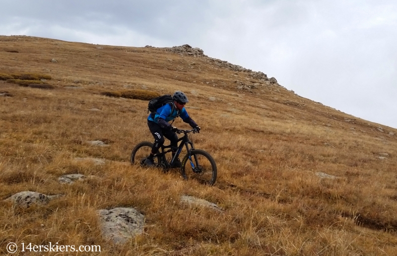
Me.
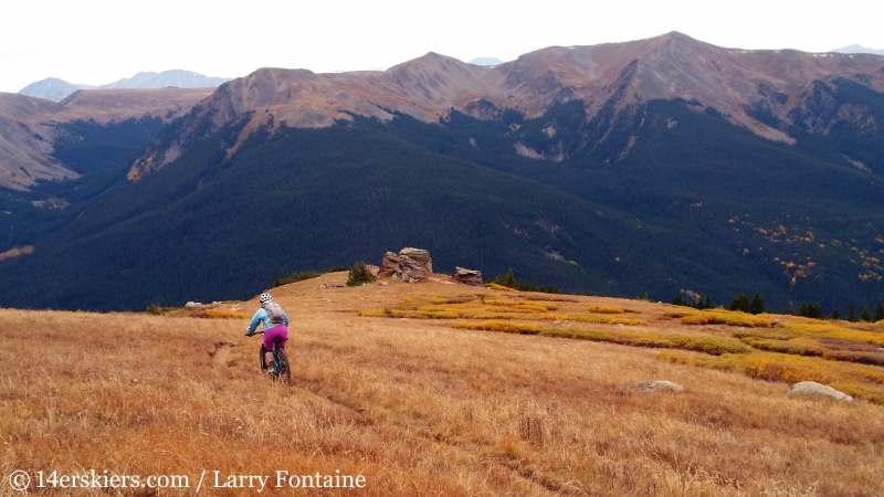
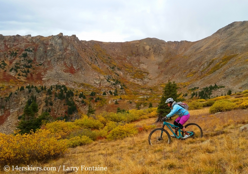
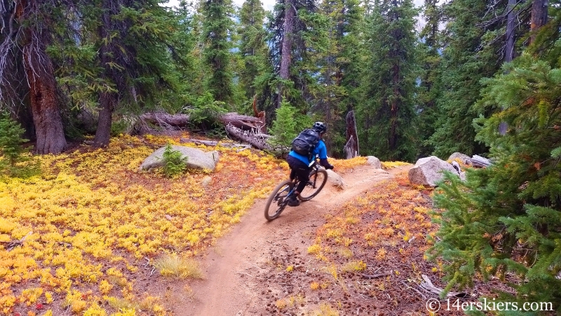
Heading into treeline.
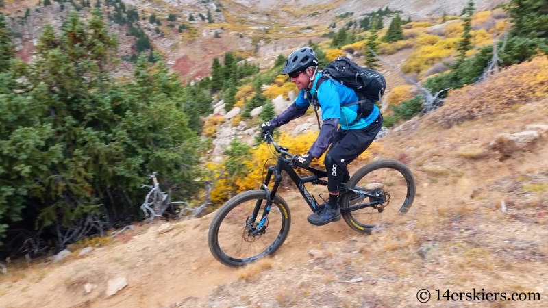
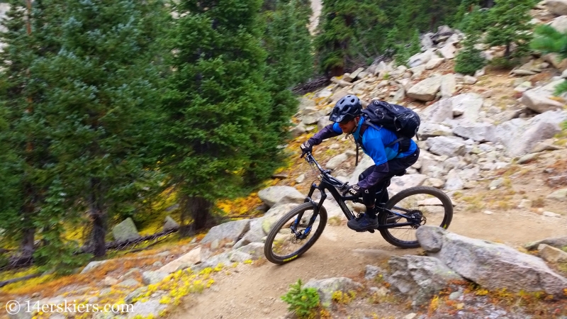
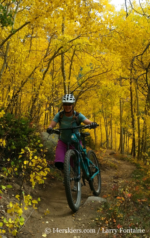
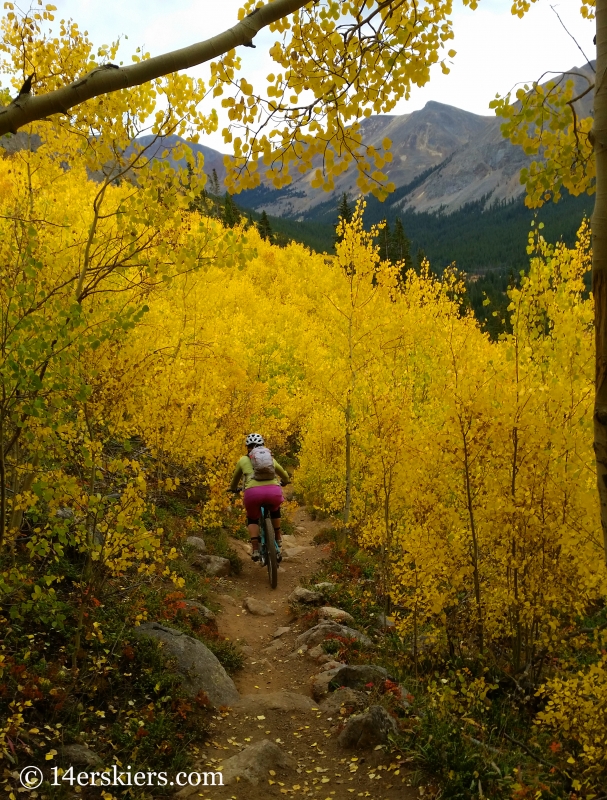
Amazing colors!
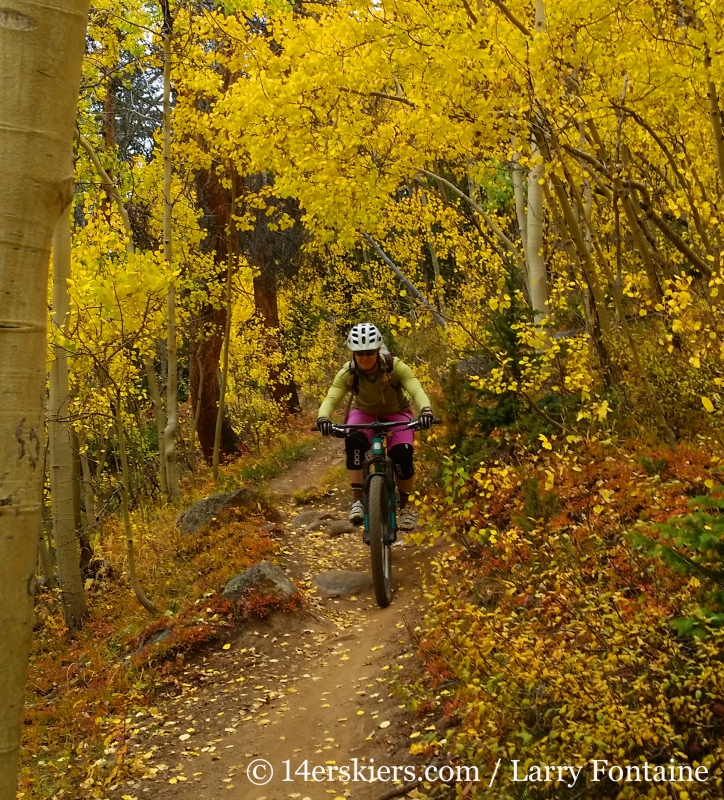
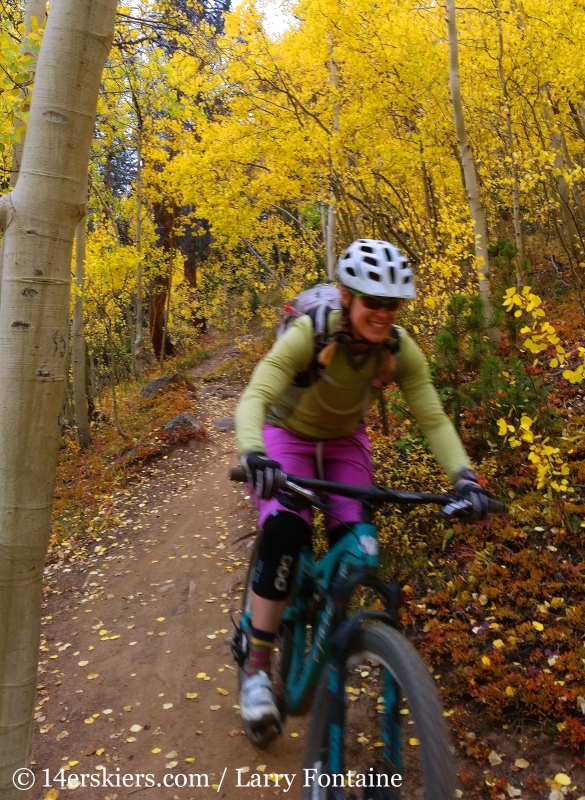
Blurry photo, but the smile says it all 🙂
The Lenawee Trail, although seemingly short on paper, is one of the better scenic alpine rides in the state of Colorado with a great descent. Many descriptions call this trail technical, but I would say it’s really only moderately so. It’s like an easier and shorter version of riding Mount Elbert, but with a more exposure near the top. Overall, I give this trail two thumbs up, and I’d happily ride it again 🙂
Lenawee Trail Map
- Mount Buckskin (17 May 2020) - May 28, 2020
- Horseshoe Ski (14 May 2020) – The mountain whose journey nearly killed me - May 27, 2020
- Sayres X-Rated Ski (10 May 2020) - May 19, 2020


