Early Season Hikes near Crested Butte
(Last Updated On: )
Both visitors and locals alike often gravitate toward Crested Butte to enjoy the outdoors. The scenic hiking is one of Crested Butte’s primary attractions. However, in early season, the classic alpine hikes are still buried in snow and hikers will have to access lower elevation trails, often closer to town. Knowing where these trails are and when they tend to melt out is the key to enjoying early season hiking in the area.
Below we have listed the best early season hikes near Crested Butte. We’ve included brief descriptions and Google maps to get you started. You can even click on the start/end icons to get directions to the trailheads! More information is available on our Crested Butte Mountain hiking guide. Additionally, the Gunnison – Crested Butte Tourism Association has a great app called CBG Trails that you should consider downloading on your mobile device!
Upper Loop Trail System
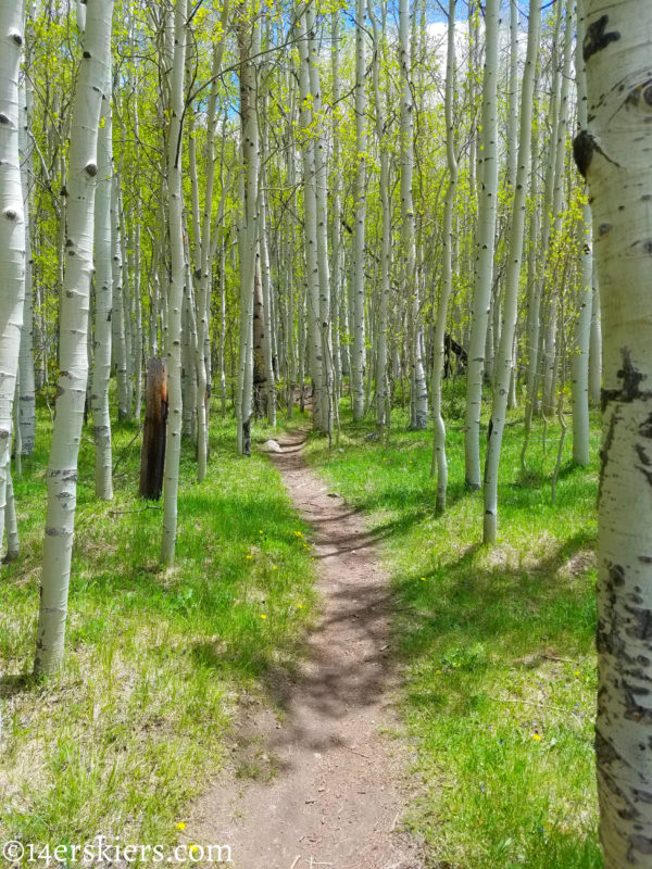 Distance: Upper Loop – 1.5 miles (but it’s not a loop), Upper Upper – 2.5 miles, Tony’s Trail – 0.7 miles, Whetstone Vista – 0.8 miles
Typical Early Season Access: This area typically melts out sometime in early to mid-May.
The Upper Loop is not actually a loop at all. But, don’t let that dissuade you from checking out this beautiful trail. Combined with it’s neighboring trails of Upper Upper, Whetstone Vista, and Tony’s trail, this system provides some scenic hiking through aspen and pine forests with magnificent views of town. Typically, this is where some of the earliest wildflowers pop out too.
From town, hikers typically access this network of trails from town via Tony’s Trail. No parking exists at the start of Tony’s Trail due to private property, but you can walk there from the east end of town. Simply follow Elk Avenue east onto the dirt road and keep heading east until the start of Tony’s Trail. From Mount Crested Butte, the Upper Loop trailhead lies off of Hunter Hill Road. Parking is very limited here.
This trail is popular with mountain bikers. For a more quiet experience, hike early.
Lupine Trail
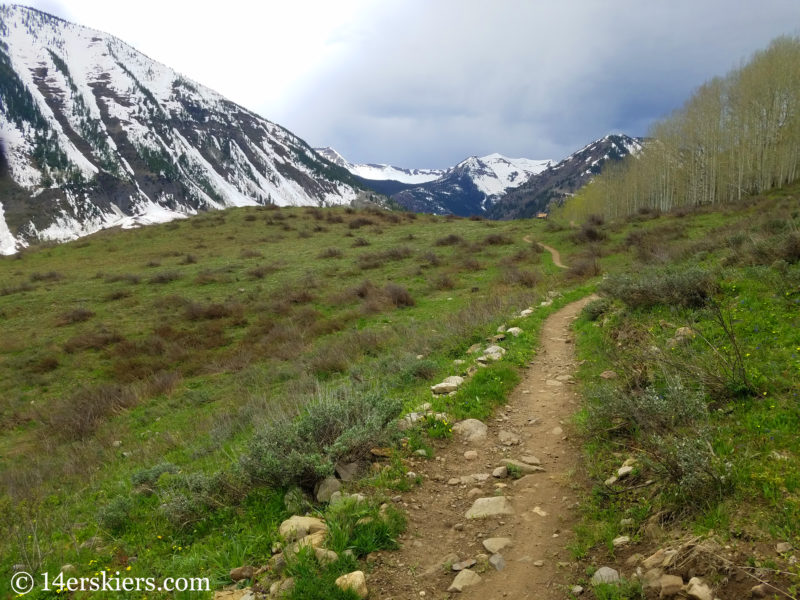 Distance: 3.5 miles one way
Typical Early Season Access: This area typically melts out sometime in mid-May.
Lupine is one of the newer trails in Crested Butte area, but it has become very popular. The trail winds through beautiful aspen forests with views of gorgeous peaks near Slate River Road. This hike is best done as an out-and-back. There are several scenic vistas throughout the hike that can make good turn-around points as well.
Due to private property, there is no parking at Saddle Ridge Road on the east side of the trail. The best was to access this trail is to park at the trailhead on Slate River Road, shortly after the road becomes dirt.
This trail is popular with mountain bikers. For a more quiet experience, hike early.
Caves Loop
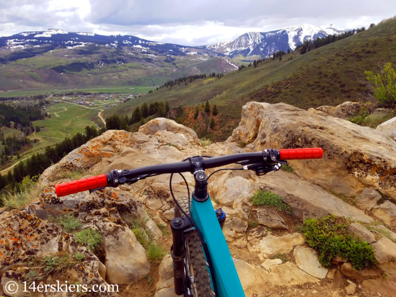 Distance: 4.4 miles as a loop. Can be shortened as an out-and-back.
Typical Early Season Access: This area typically melts out in mid-May. As an out-and-back it typically melts out by late April or early May.
The Caves Loop refers to a combination of trails that go by some caves near CB South. Hikers typically choose to do this trail as an out-and-back, following on Ferris Creek trail (409) up and stopping at one of the many view points about a mile up. For a longer hike, you can do the loop. Continue east up the Cement Creek road and then turn left on Walrod Gulch Road. Then take the Walrod Cutoff trail up the steep climb, to the Ferris Creek trail (409), past the scenic overlooks and caves, and then down to the parking area.
To access this trail, park a the Walrod Gulch / Farris Creek Trail (409) parking located up Cement Creek Road, shortly after it becomes dirt.
This trail is popular with mountain bikers. For a more quiet experience, hike early.
East River Trail – Brush Creek Trailhead
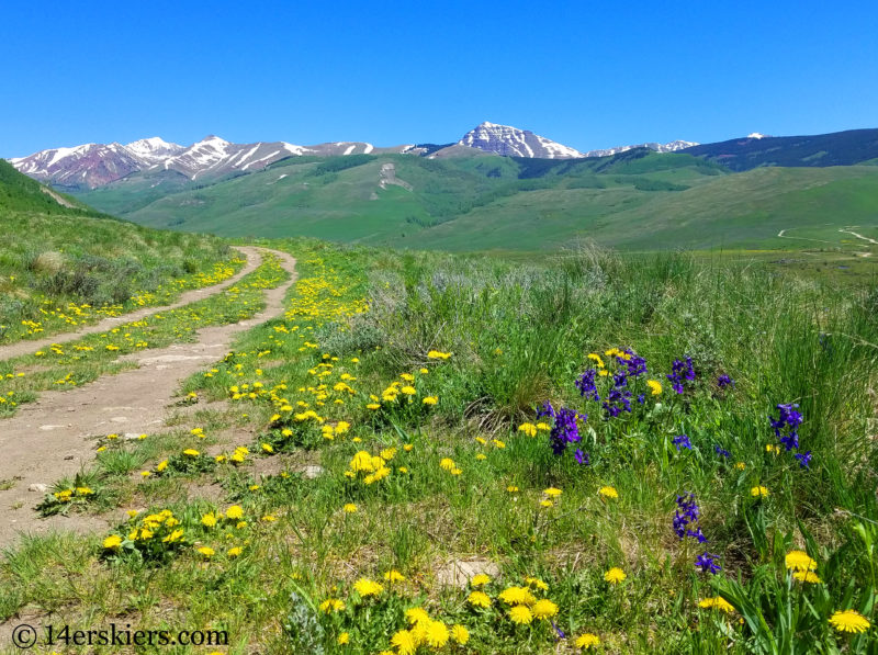 Distance: 2.25 one way
Typical Early Season Access: This trail typically melts out by mid May.
The East River Trail is a very scenic hike that follows above the river for which it is named and below Mount Crested Butte. Offering wonderful panoramas of the magical Brush Creek Valley, this trail is a gem. This trail gains very little elevation, making it a great easy hike. For more information, view our East River Trail hiking report.
This trail is accessed via Brush Creek road, parking a the well signed Brush Creek Trailhead parking lot shortly after the road becomes dirt.
Snodgrass Trail
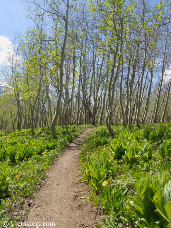 Distance: 3.5 miles one-way
Typical Early Season Access: Early June
A long-time favorite of Crested Butte, Snodgrass is a beautiful trail full of aspens and scenic views of the ski area. This trail is typically done as an out-and-back with several good view points that also make good turn-arounds.
Most people access Snodgrass from the trailhead on Gothic Road in Mount Crested Butte, located at the point where the road becomes dirt. The scenic view points are closer to this side of the trail. But, the west end of Snodgrass trail can be accessed from Washington Gulch Road. Be aware that the first 1/4 from Washington Gulch can be very muddy during the early season.
This trail is popular with mountain bikers. For a more quiet experience, hike early.
Judd Falls
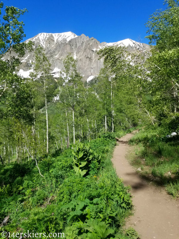 Distance: 1.5 miles one way.
Typical Early Season Access: Dependent on the opening of Gothic Road which typically opens mid to late May.
A scenic hike offering great views of the iconic Gothic Mountain, Judd Falls is a popular tourist hike. People usually park at the Judd Falls / Copper Creek Trailhead and hike on the Forest Service Road 317.3A a short ways to the trail. The falls are located near where the trail meets the Copper Creek. The falls are less impressive than the scenery of the hike itself. After the falls, the trial becomes the Copper Creek trail which heads northeast, toward Aspen. For a longer hike, walk up this trail until the snow becomes difficult to manage.
The Judd Falls trailhead is shortly past the town of Gothic on Gothic Road.
Dillon Pinnacles
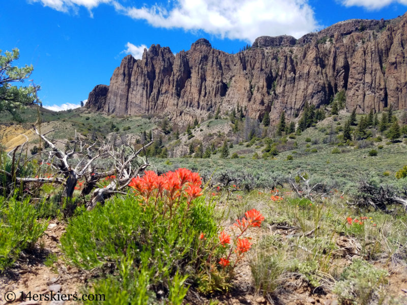 Distance: 2 miles one way
Typical Early Season Access: This area typically melts out in late March or early April.
Located about 45 miles away from Crested Butte on the north shores of the Blue Mesa Reservoir west of Gunnison, the Dillon Pinnacles trail is a haven in spring. Wildflowers sprout early and visitors are welcomed with a green desert climate. Top that off with wonderful vistas of the Blue Mesa Reservoir and the towering rock formations of the Pinnacles, this hike is a must-do.
This trail is accessed from the Dillon Pinnacles parking just before the bridge that crosses center the Blue Mesa Reservoir. You will find the trail near the boat ramp.
- Mount Buckskin (17 May 2020) - May 28, 2020
- Horseshoe Ski (14 May 2020) – The mountain whose journey nearly killed me - May 27, 2020
- Sayres X-Rated Ski (10 May 2020) - May 19, 2020


