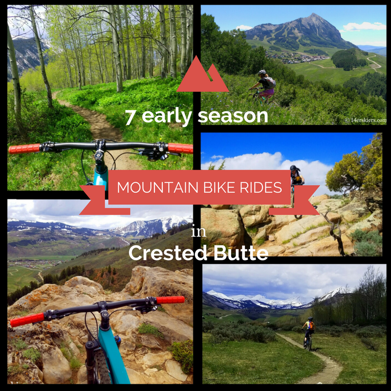
7 Early Season Mountain Bike Rides near Crested Butte
(Last Updated On: )
In May, the valley of Crested Butte glows in emerald green while the mountains still glimmer with white. It’s a time of transition and locals know that the changes can be huge, even from day to day. Snowmelt can happen alarmingly fast in some places, and utterly slow in others. Even so, there are certain trails that melt out earlier than others, where avid mountain bikers can begin to satiate their hunger for “brown pow”.
Below we have listed 7 of the best early season mountain bike rides near Crested Butte. We’ve included brief descriptions and Google maps to get you started. You can even click on the start/end icons to get directions to the trailheads! More information is available on our Crested Butte Mountain biking guide. Additionally, the Gunnison – Crested Butte Tourism Association has a great app called CBG Trails that you should consider downloading on your mobile device!
Signal Peak and Contour Trail
 Distance: Signal Peak with Contour – 19.6 miles, Contour Trail only – 6.5 miles one way
Typical Early Season Access: This area typically melts out sometime in mid-April.
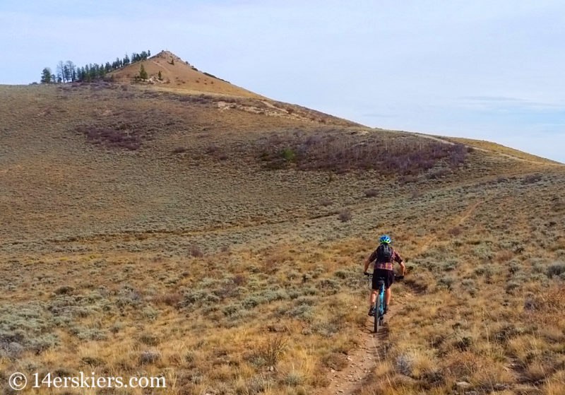
Some of the best early season riding near Crested Butte is located down valley in Gunnison. Signal Peak and the Contour Trail are one of those places. Some trails in this area can be loose and a little rocky, but the Contour Trail is an easy trail that is great for beginners or kids. From the top of Signal Peak, you can enjoy fantastic views of Gunnison and beyond!
This area has a sage grouse closure from March 15th to May 15th and cannot be used before 9 am during that time. Most people access this area from the Western State College Campus.
Map
Hartman Rocks
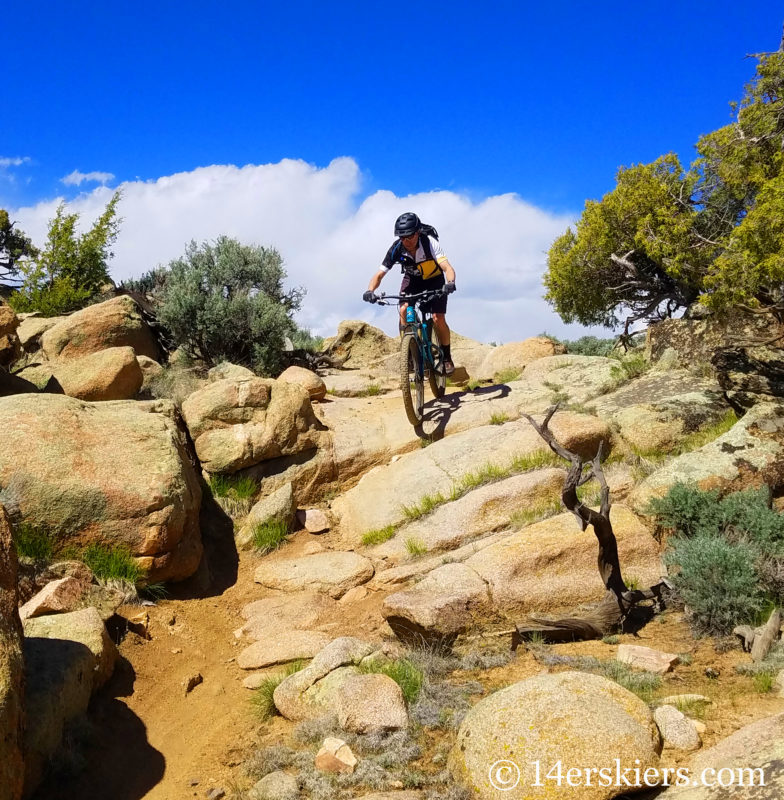 Distance: As long and short as you want! There are 40 miles of singletrack trails and 30 miles of roads, so have your pick!
Typical Early Season Access: This area typically melts out sometime in mid to late April.
Gunnison and Crested Butte locals know how great the riding is at Hartman Rocks, but many others pass by the area not knowing what it has to offer. The high desert riding is comparable to that of parts of Fruita. Trails can be smooth and flowy, or rocky and technical, and everything in between. In spring, the desert is dotted with green sage, lots of glowing red paintbrush, and other desert wildflowers too.
The most common trailhead for this area can be reached by turning south onto West Airport Rd on the southwest end of Gunnison, and then heading south for 2.5 miles to an obvious parking area on the right.
Map
The map below is only a suggestion of one possible loop. Link to map of all Hartman Rocks Trails.
Caves Loop
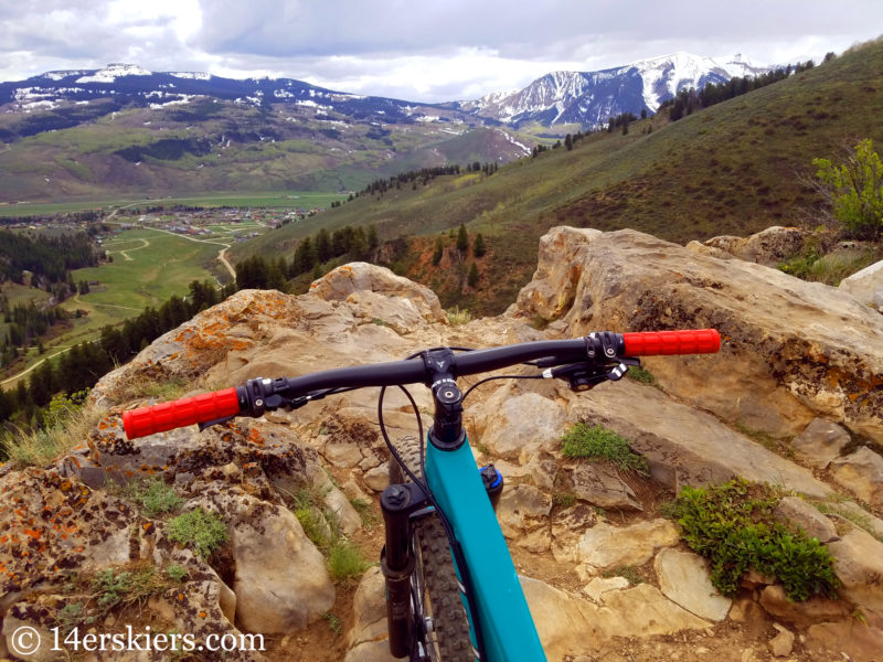 Distance: 4.4 miles
Typical Early Season Access: This area typically melts out in mid-May.
The Caves Loop refers to a combination of trails that go by some caves near CB South. Although short, the loop involves a very steep climb and a very fun descent down steep single track. At the top, the views are fantastic. And you can even stop and check out some caves there too.
To access this trail it’s best to park a the Walrod Gulch / Farris Creek Trail (409) parking located up Cement Creek Road, shortly after it becomes dirt. Continue riding up the road and then turn left on Walrod Gulch Road. Then take the Walrod Cutoff trail up the steep climb, to the Ferris Creek trail (409), past the scenic overlooks and caves, and then down the sweet descent.
Map
Upper Loop Trail System
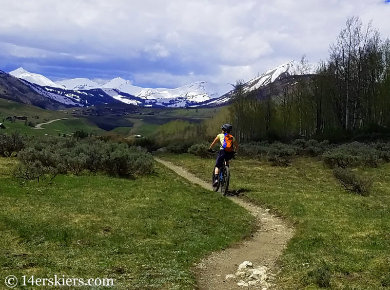 Distance: Upper Loop – 1.5 miles (but it’s not a loop), Upper Upper – 2.5 miles, Tony’s Trail – 0.7 miles, Whetstone Vista – 0.8 miles, Lollypop loop starting at Upper to Upper Upper to Whestone Vista and back to Upper – 5.5 miles, make a big loop with Brush Creek Road and Bike Path – 11 miles
Typical Early Season Access: This area typically melts out sometime in early to mid-May.
The Upper Loop is probably the most confusing name in Crested Butte. It’s a trail that leads from point A to point B, and is not a loop at all. That said, combined with it’s neighboring trails of Upper Upper, Whetstone Vista, and Tony’s trail, this system provides some good technical riding that dries early with scenic views of both the surrounding mountains and town.
People typically access this network of trails from town via Tony’s Trail or from Mount Crested Butte at the Upper Loop trailhead off of Hunter Hill Road. No parking exists at the start of Tony’s Trail due to private property, and parking is very limited at the Upper Loop trailhead. It’s better to just ride to these trailheads. Alternatively, you could park at the start of the Whestone Vista trail up Brush Creek Road, shortly after it becomes dirt.
Map
The blue on this map signifies the single track.
Lupine
Distance: 3.5 miles one way, 7.3 miles as a loop with Slate River Road and the bike path.
Typical Early Season Access: This area typically melts out sometime in mid-May.
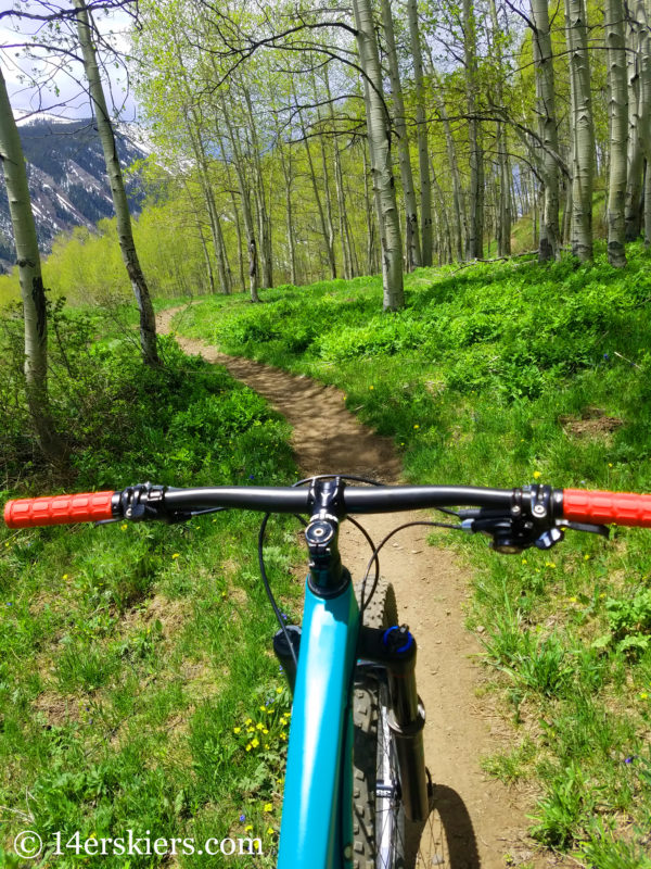
One of the newer trails in Crested Butte, Lupine quickly became a big hit. This trail is not very technical in nature, but offers great views and flowy fun through beautiful aspen forests. Lupine is typically done as a loop with Slate River Road and the bike path. But, it also rides nicely as and out-and-back.
Most people access this trail at the top via Saddle Ridge Road, but there is no parking here. If you wish to park near the trail, park at the Lupine trailhead on Slate River Road, shortly after the road becomes dirt. Better yet, ride to the trail from town or Mount Crested Butte.
Map
Snodgrass
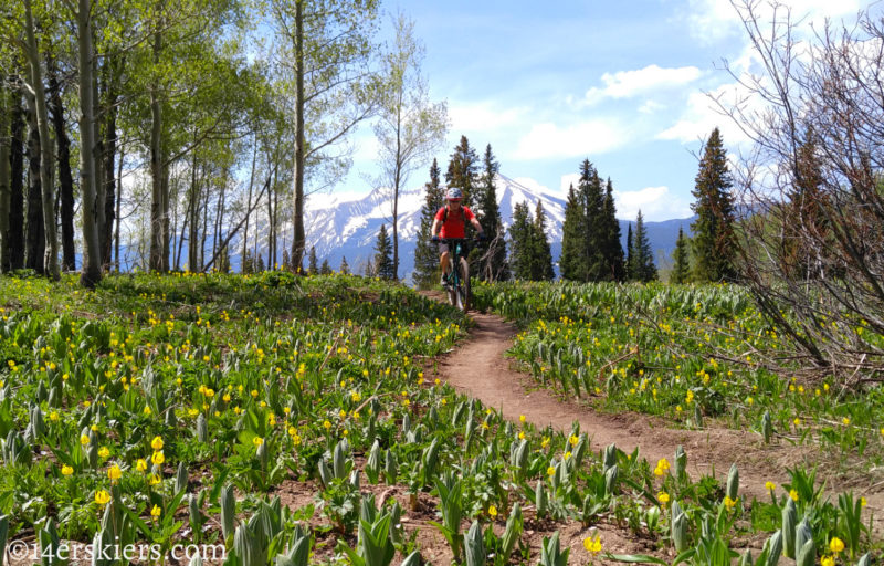 Distance: 3.5 miles one-way, 12.6 miles as a loop with Washington Gulch Road and Gothic Road
Typical Early Season Access: Early June
A long-time favorite of Crested Butte tourists and locals alike, Snodgrass trail is sometimes known as a beginner trail. But the steep and partial technical nature of this trail make it more of an intermediate level trail. Offering fantastic views of the ski area, this Snodgrass trail also takes visitors through some of the most amazing aspen forest in the valley. Snodgrass is often ridden as a loop with Washington Gulch Road and Gothic Road, but our favorite way to ride it is as an out-and-back. Alternatively, once you end at Washington Gulch Road, it ties nicely with a ride on Lupine.
Most people access Snodgrass from the trailhead on Gothic Road in Mount Crested Butte, located at the point where the road becomes dirt. Parking can be limited here, so it’s encouraged that you ride to the trailhead.
Map
Doctor Park
 Distance: 6.4 miles one-way, or 19.3 miles as a loop
Typical Early Season Access: There is a seasonal closure for big horn sheep, but this trail typically opens on Memorial Day weekend.
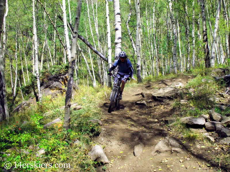
Doctor Park is known for having one of the best singletrack descents in the Crested Butte area and few dispute that claim. Most people end this descent with a giant smile on their faces, even after having ridden it a hundred times. It’s just one of those great trails.
Most of the singletrack portion is located in arid forest and tends to warm early in spring. But the upper parts can still hold snow late into the year, especially at the very top where the forest is quite dense. While in summer this trail is typically done as a loop with Spring Creek Road, Doctor Park is better done as an out-and-back during the early season due to the potential snow near the top.
Doctor park is typically accessed by parking near Harmel’s up Taylor Canyon Road. Ride to the start of the trailhead at the North Bank Campground.
Map
So, there you have it — 7 great rides that you can do in early season near Crested Butte! Don’t let the “off-season” dissuade you from exploring the trails in Gunnison and Crested Butte! Now it’s time to get your riding on!
- Mount Buckskin (17 May 2020) - May 28, 2020
- Horseshoe Ski (14 May 2020) – The mountain whose journey nearly killed me - May 27, 2020
- Sayres X-Rated Ski (10 May 2020) - May 19, 2020
