TR: Unnamed 13,130′ (15 Oct 2015)
(Last Updated On: )
We just had a squall. A big snowsquall. The kind of squall that came in with a vengeance and left an inch of snow on the ground in a matter of minutes. The squall has come and gone, now. But, the snow still remains.
The last several days have been laden with squalls like this, off and on. Sun in between. But, one thing is clear – Mother Nature decided it was time to stop being summer and to start being winter. Like a flip of a switch, the seasons changed.
So, as I write this report, it’s hard to believe that this hike we did was less than two weeks ago – That there was barely a trace of snow up high – Making this one of the last of our Indian Summer reports.
It’s no secret that Natalie is all about peak-bagging. And she’s a peak-bagger with discretion. Prior to her visit, I tried to entice Natalie into climbing East Beckwith. But she scoffed at it. How high is it? You mean, it’s not even a thirteener?
Okay, that’s not exactly what she said. But, that’s what she meant. So, we went looking for 13ers in the Crested Butte area for her to climb. Surprisingly, even though there’s a whole lot of mountains that surround our town, many of them don’t even rise close to 13,000 feet. Of the few that do, many of them are bushwacks from hell, and better done in spring snow-cover… which, as it turns out, we’ve been to the summit of almost all of them that way.
But, there was one lesser thirteener that seemed to go unnoticed, probably because it doesn’t have a name. Those keeping track of all the thirteeners in the state refer to this one as Unnammed 13,130′. However, as we found out, the summit is labeled wrong. The knob next to the declared summit on the map actually rises a good 10 feet higher. But, we’ll discuss that more later. Unnamed 13,130′ lies on the ridgeline between West Maroon and Precarious Peak. That would be our goal for the day.
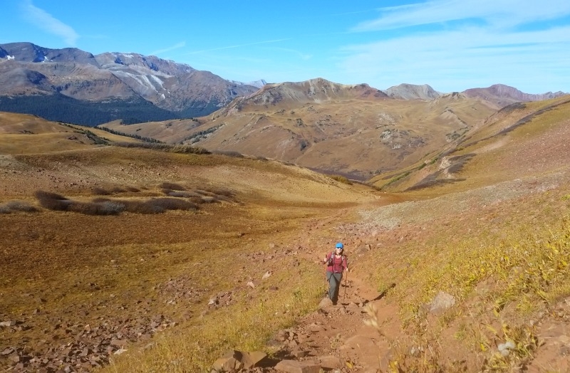
Natalie and I got a leisurely start in the morning, planning on doing a shuttle with two cars. We left one car at the road to Rustler’s Gulch for our exit, and began our hike at the West Maroon Pass trailhead. Our plan was to follow the trail to West Maroon Pass and hike eastward along the ridge to reach Unnamed 13,130′.
Natalie approaching West Maroon Pass.
From the pass, we caught glimpses of Belleview and the Maroon Bells…
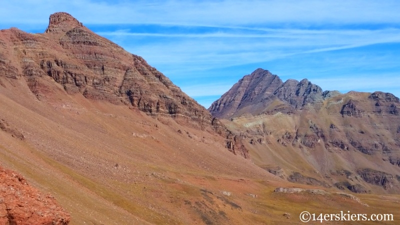
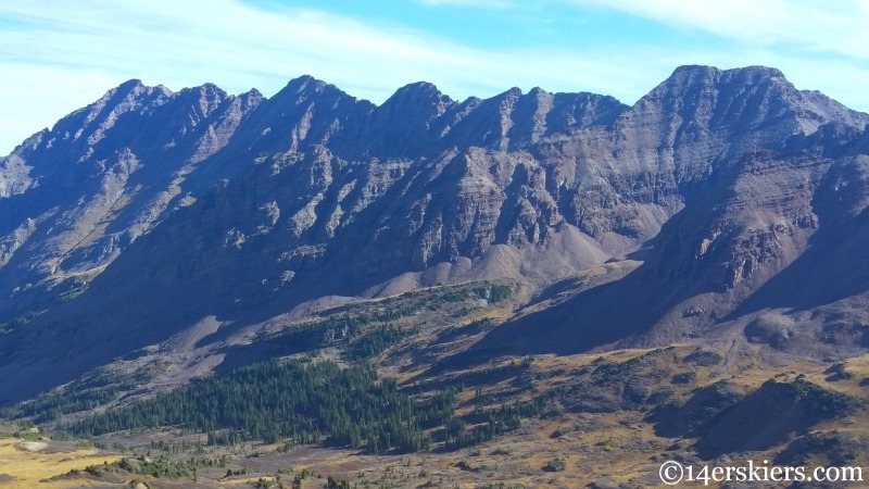
as well as the Pyramid Massif.
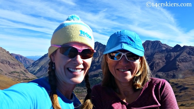
Of course, we had to get the selfie.
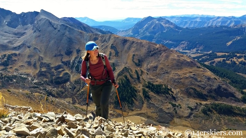
From the pass, we followed the ridge eastward. For the most part, this route is pretty self-explanatory. But, if there is one piece of advice I have to give, it’s to stay on the ridge. I say this because shortly after leaving the pass, there is a very obvious route on the north side of the ridge. It’s a ramp, and it wants so badly to sucker you in. But, don’t go there. Just when you think all is well and good, the ramp ends, and you’re left clinging to crumbling rock and loose dirt, trying to find a way to scramble back up to the ridge you wished you’d never left in the first place.
So, don’t be suckers like us. Stay on the ridge 🙂
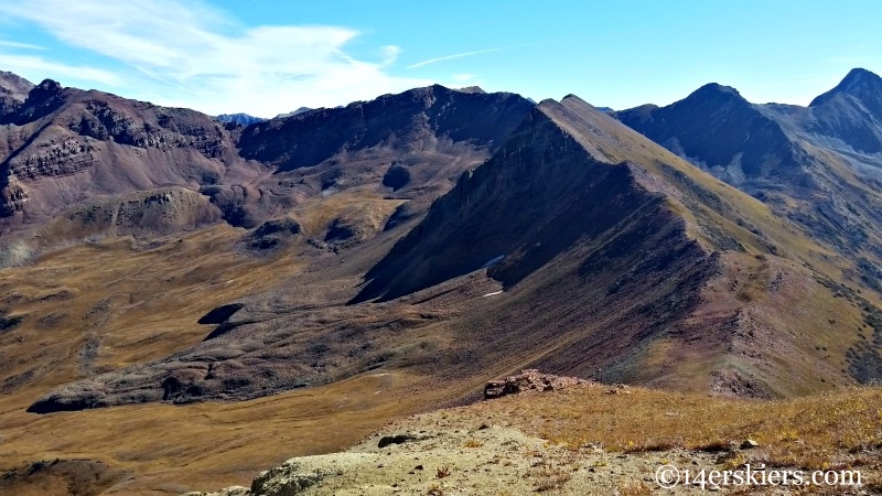
Here, you can see the majority of the ridge we were to follow. The summit of 13,130′ is and unobvious high point set way far back, just right of the center of the pic.
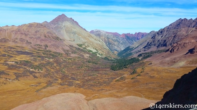
The West Maroon Creek valley looked awfully inviting. So nice to see it without a train of people on the trail.
Fun ridge hiking!
But it also was a very long ridge.
Looking back from where we came.
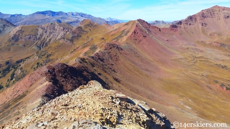
But, still a lot to go.
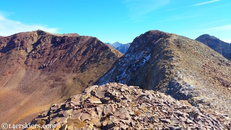
Cassi and Golden Tops in the distance.
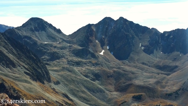
It sure was beautiful.
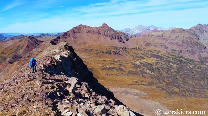
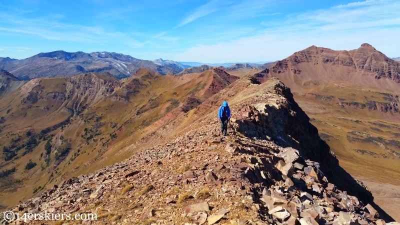
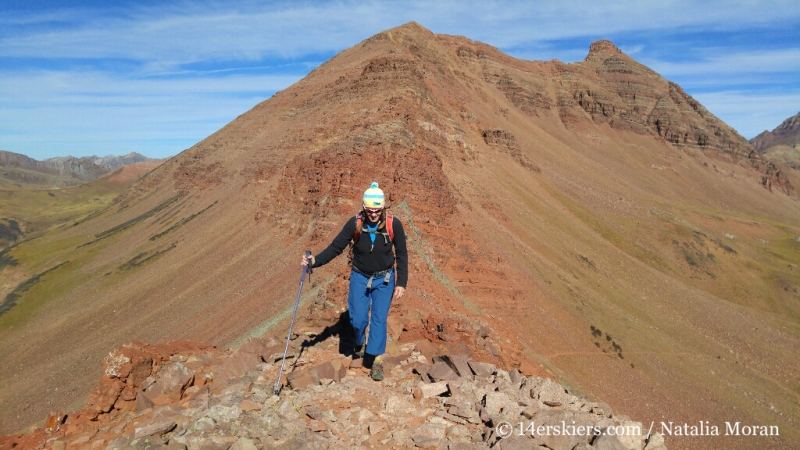
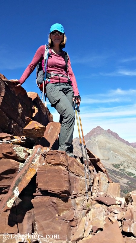
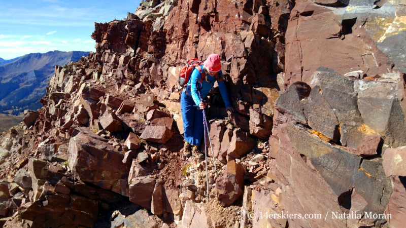
As we neared the final approaches to the summit, the ridge got a bit more difficult.
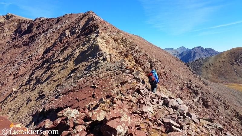
Still, it never really got much above Class 2.
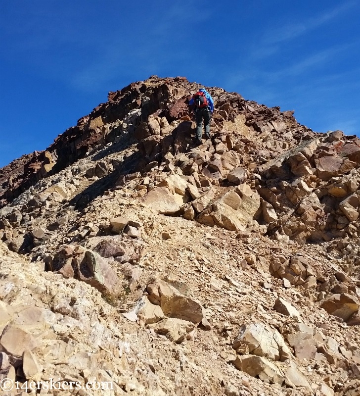
Except for maybe this.
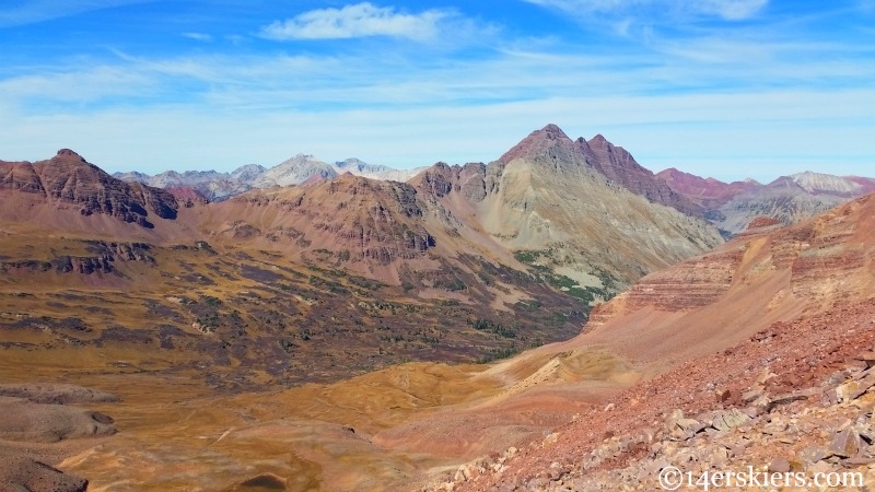
South Maroon looked simply magical from this viewpoint.
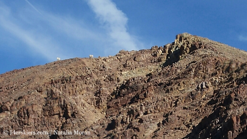
We heard the rockfall first and looked up to check it out. The rocks had been release by passing mountain goats who were literally hauling ass to get away from us. Before we knew it, they were on top of another peak!
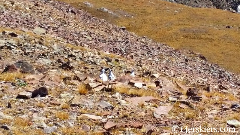
Then there were the Ptarmigans who were cursing Mother Nature for not letting it snow yet.
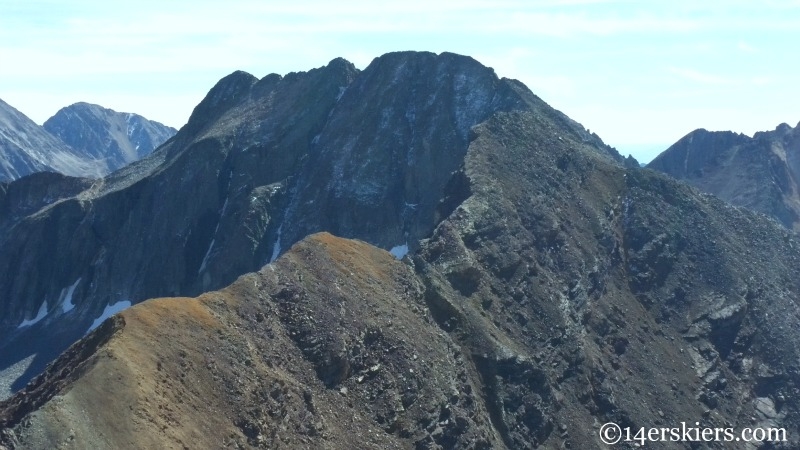
The ominous looking Precarious Peak. Yep, we skied that 🙂
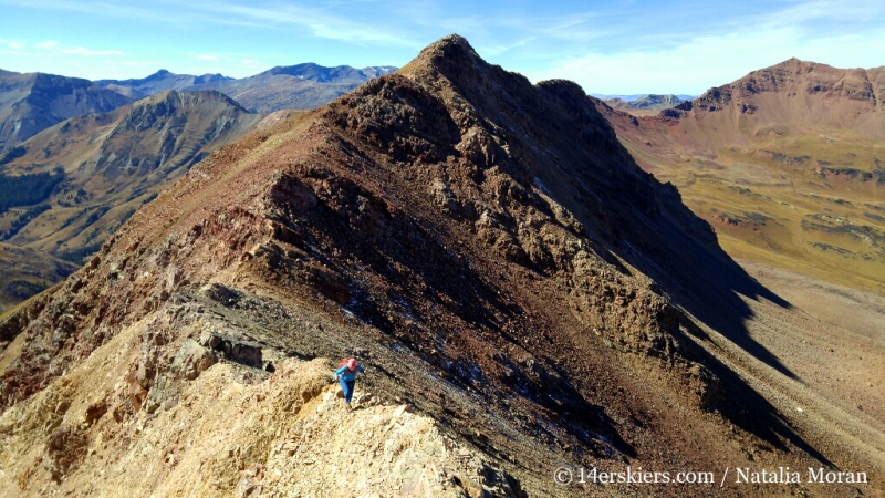
The ridge was long. Very very long.
Hmmm, that looks like some good skiing perhaps.
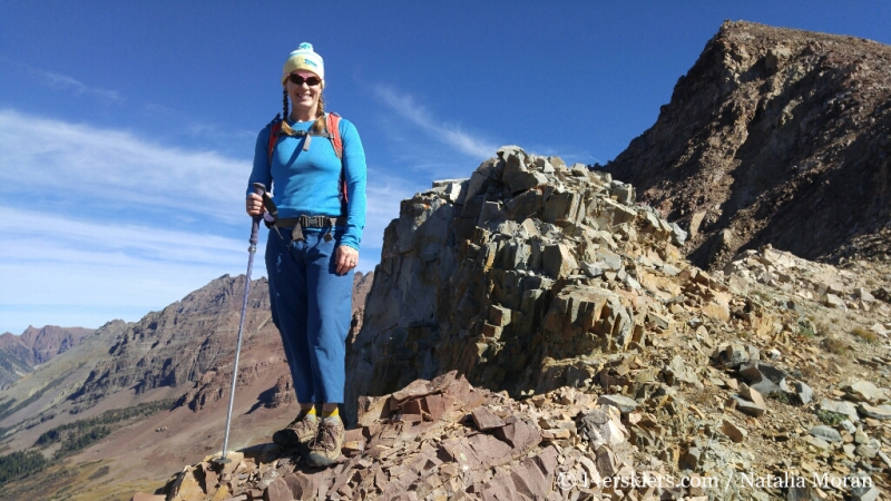
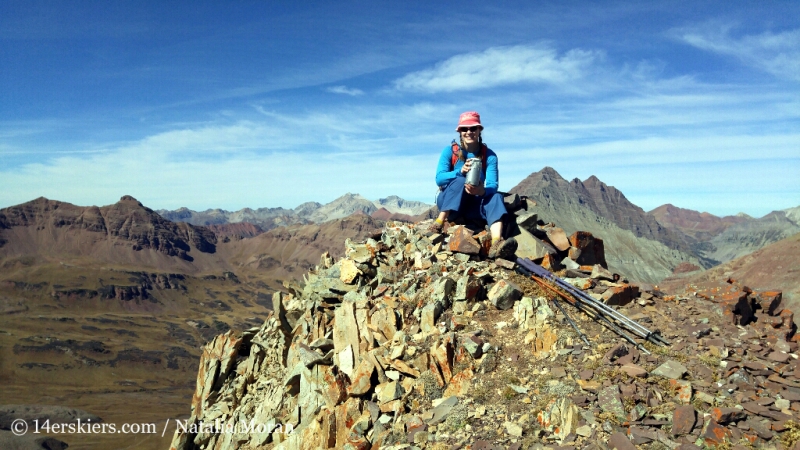
Me, on the summit of 13,130′ holding the make-shift summit register.
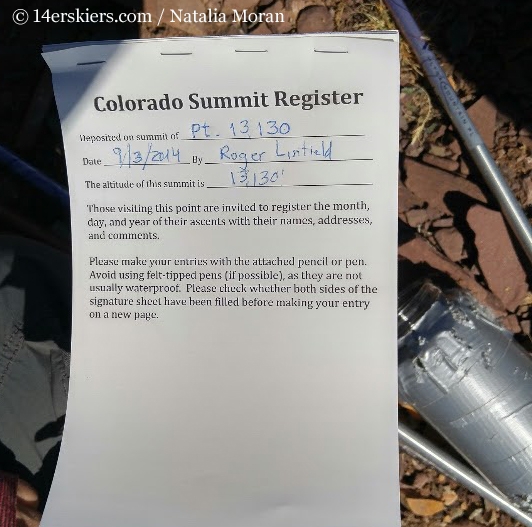
The register said it had been placed in September 2014, but since there were no other names on the register, we began to wonder if it had been left here just the month before.
We enjoyed the views from the summit.
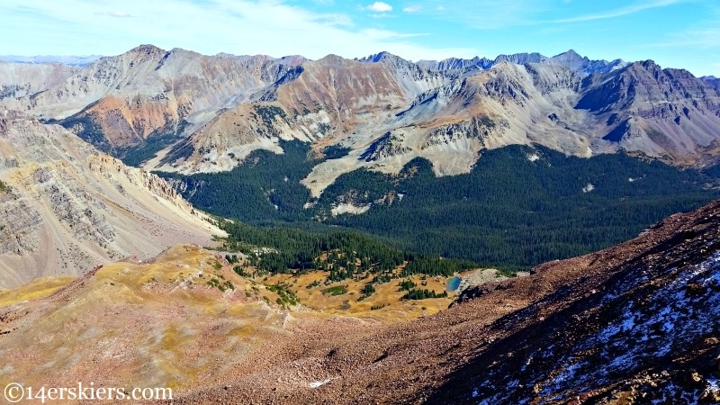
Belleview and Treasure / Treasury in the distance. Are these rock glaciers below?
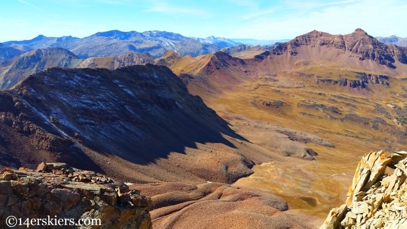
The Maroon Bells never get old, do they?
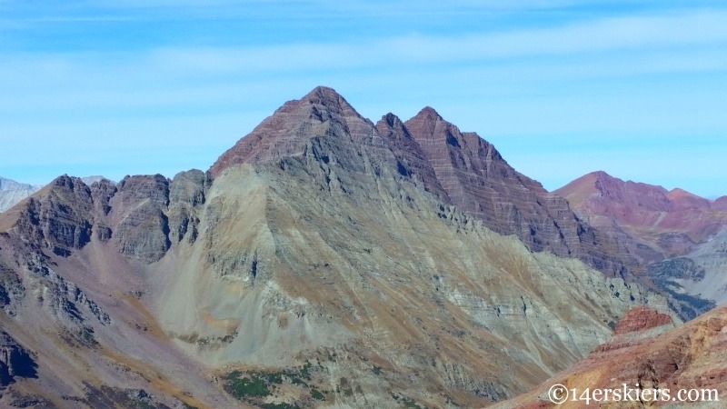
I’ve often thought about trying to ski this line on the southern edge of the Pyramid Massif, but it’s just so far back there…
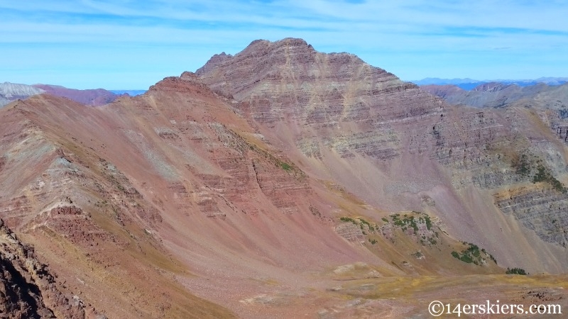
So, while Unnamed 13,130 is really not much to brag about, it does have on curious thing…. Where exactly is the summit? Yeah, we found the summit register, and it was placed at the spot where the summit should be according to the map. However, there is another knob to the southwest that looked higher. So, we went to check it out.
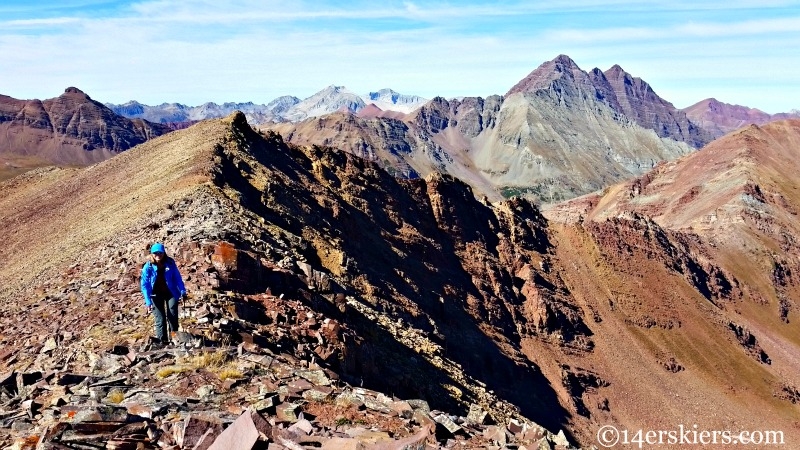
Here I am marveling over the GPS reading. The knob was 10 feet higher than the knob where the summit register had been placed. No joke. So, perhaps the peak needs to be named 13,140′? And, of course, all the maps need to be corrected for the placement of the summit….
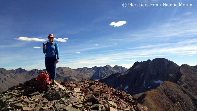
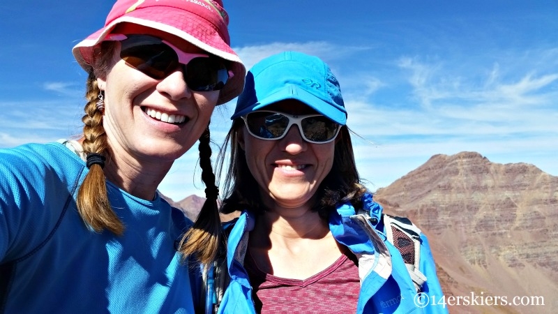
Now that we’re on the actual summit, I guess we’ll take a selfie.
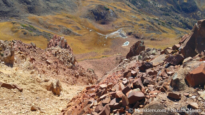
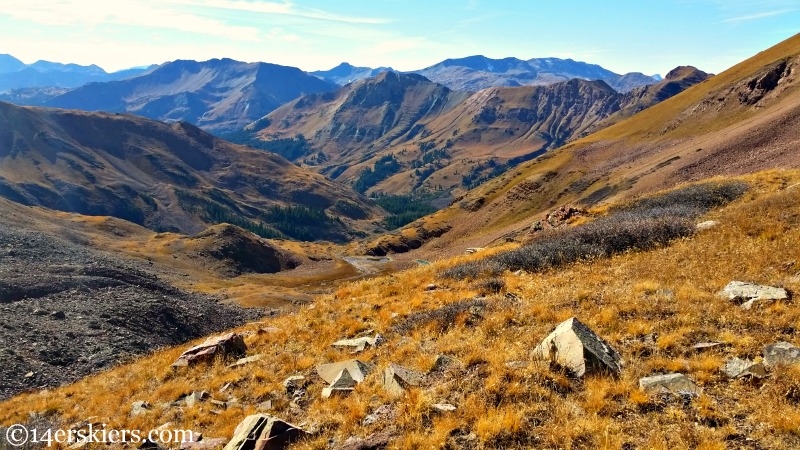
From this peak, we could see the beautiful alpine lake below, with the ominous Precarious Peak rising above. Does anyone know the name of this lake?
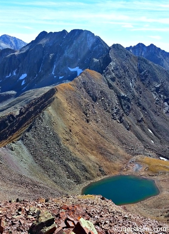
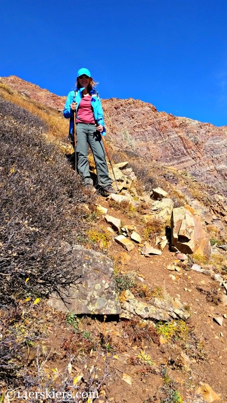
Our plan was to descend to the lake and follow the drainage down to Rustler’s Gulch where we’d then catch the trail to the road to get back to the car we’d left there. So, we enjoyed a little steep-grass hiking down to the lake.
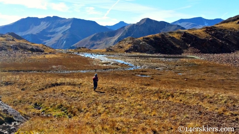
Ah yes, the beautiful alpine lake. I couldn’t believe I was pondering going for a swim in an alpine lake in mid-October.
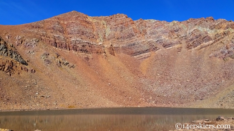
After spending some time enjoying the lake, we headed out the drainage.
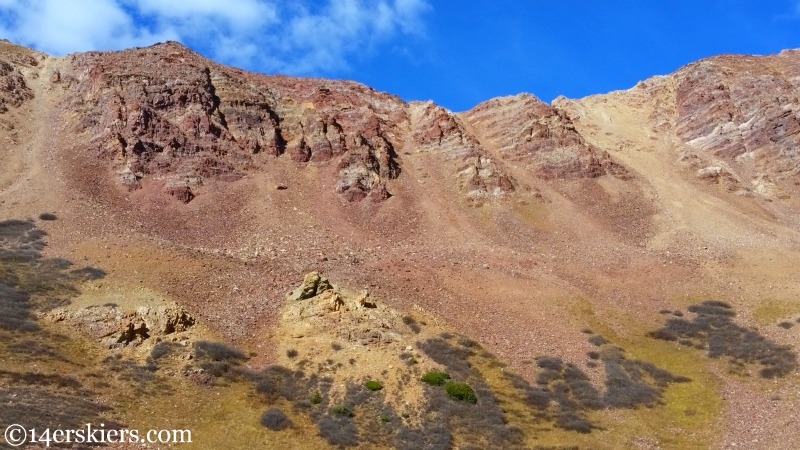
Looking back up at the ridge we’d crossed earlier in the day.
 ‘
‘
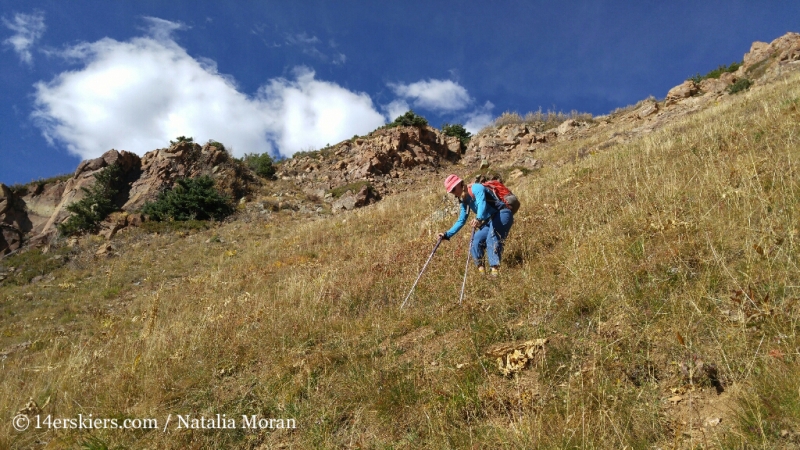
And there was more steep grass. A lot of gnarly steep grass.
Eventually, we caught the trail and make our way back to our stashed car. What a fun loop we had though – A great ridge walk with beautiful scenery and a fantastic alpine lake to boot! If you’re up for a long day in the alpine, this is a fabulous option for you!
Want to do this hike yourself?
- Mount Buckskin (17 May 2020) - May 28, 2020
- Horseshoe Ski (14 May 2020) – The mountain whose journey nearly killed me - May 27, 2020
- Sayres X-Rated Ski (10 May 2020) - May 19, 2020


It was great to spend the day with you among the peaks that are so meaningful to you. Boy, the Precarious one is looking menacing or what?
Great report, Brittany! That’s my kind of Elk hunting! Truly lovely shots of the area! I just climbed Pyramid this past summer and definitely want to return to this area again! Gorgeous place! Thanks for sharing your trip!
Super menacing, Natalie! So, when are you going to climb it? 🙂
So glad you enjoyed the report Doug! Thanks for your comment!
Goats are dangerous! Looks like great spot in there Natalie and Brittany. Glad you were able to find Natalie another 13er Brittany, haha. I guess the next time I read about you two, the landscape will be looking quite different. Looking forward to it. Well done!
Thanks Dillon! Glad you liked the report… And yes, there’ll probably be a whole lot more white from now on 🙂
Gosh, that looks like a spectacular day!
It was Mike! Thanks 🙂