TR: Horse Ranch to Swampy Pass Point-to-Point (20 Aug 2014)
(Last Updated On: )
I’ve envisioned this hike for a couple of years now – linking Horse Ranch to Swampy Pass trailhead via the Cliff Creek Trail and Swampy Pass trail. But, logistically it was difficult because it required two cars. Being that I do the majority of my hiking solo (or with Eddy the Wonder Dog, who, even in all his amazingness, still can’t get behind the wheel of a car), the two-car commitment was a problem. So, when my dad popped into town wanting to do lots of hiking, this one immediately went on the list.
It was raining when we left town in the morning. Clouds hovered thick over the peaks, obscuring their summits. We decided to hike anyways. We parked at the Cliff Creek trailhead across the road from Horse Ranch. As we ascended toward Beckwith Pass, we regretting hiking in wet conditions as the trail was greasy mud that was both slippery and sticky at the same time. Nonetheless, we charged on, hoping for better conditions later in the day.
The summit of East Beckwith slowly being revealed.
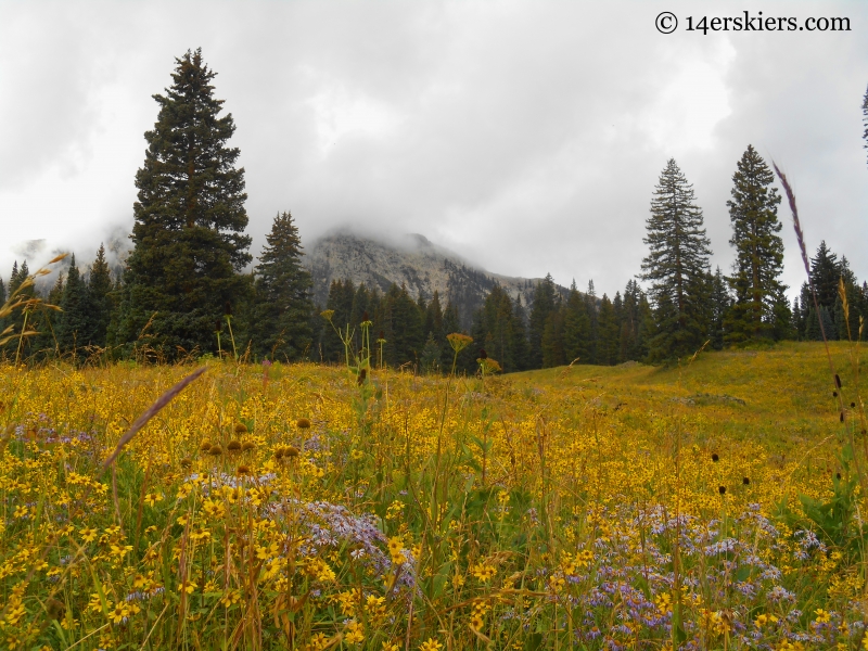
We reached Beckwith Pass in good time, despite the muddy conditions. Since I have done the hike to Beckwith Pass several times, I did not take out the camera much on this portion of the trip. There are more photos leading to Beckwith Pass here.
After Beckwith Pass, we entered the gate into the West Elk Wilderness. This truly is a wild and expansive land. Immediately, the trail forks, and we took the left fork continuing on the Cliff Creek Trail (Trail 840). We had great views of Storm Ridge and the distant Castles.
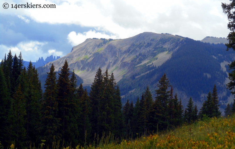
We hugged along the western end of the Anthracite Range.
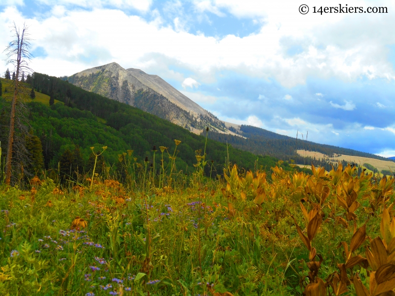
The trail continued to be muddy as we headed toward Storm Ridge.
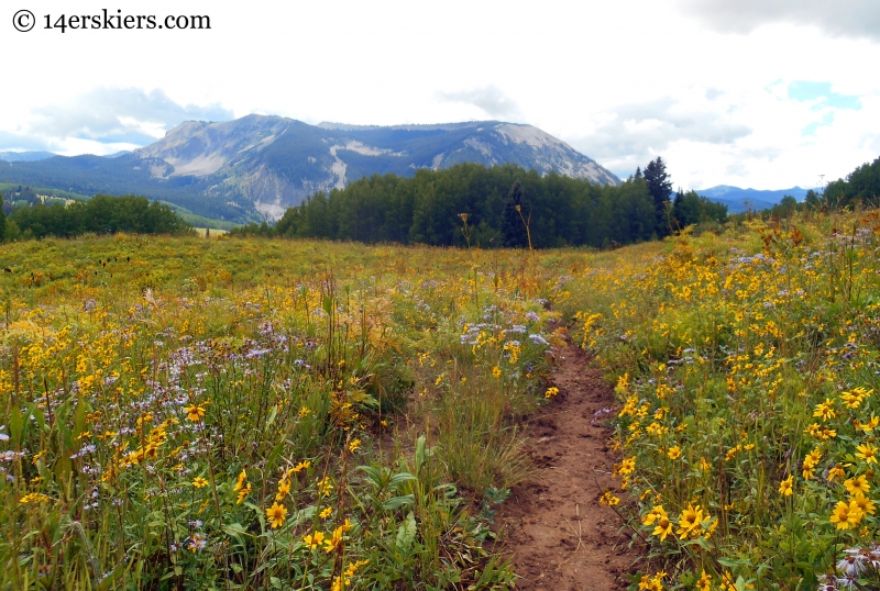
We passed through occasional groves of aspens.
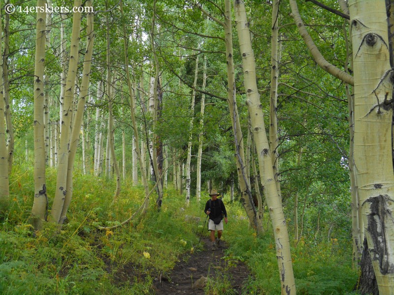
Another view of the west end of the Anthracites.
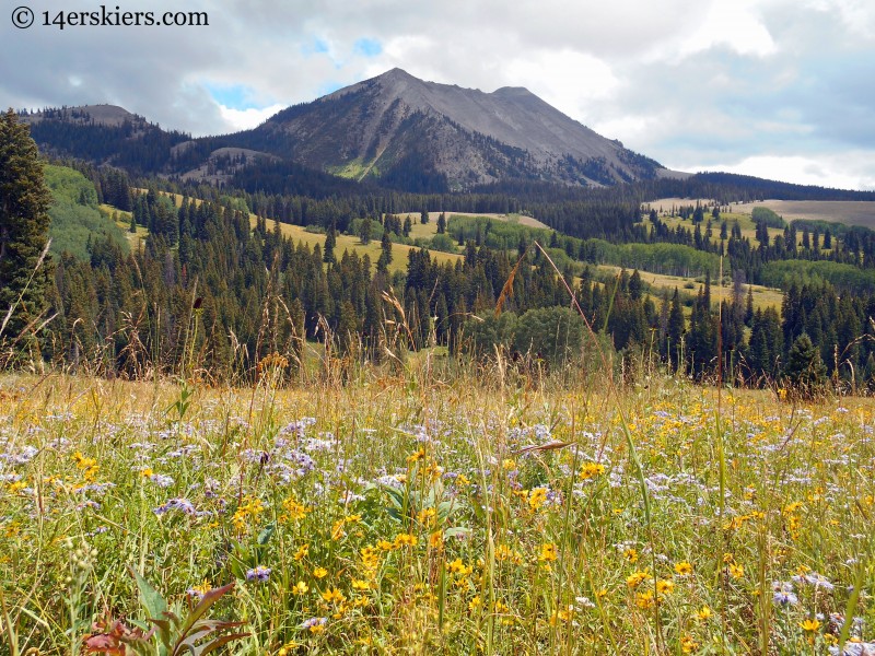
The wildflowers glowed as I gazed westward, deep into the West Elk Wilderness.
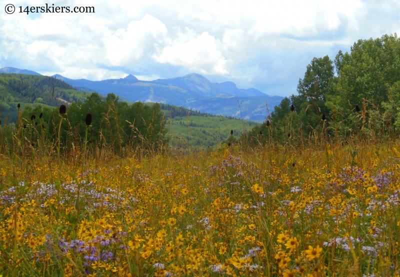
It was a beautiful section of trail.
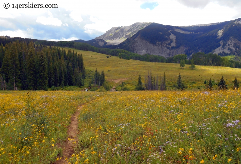
After about 3.7 miles (1.5 from the top of Beckwith Pass), we crossed the headwaters of the Cliff Creek.
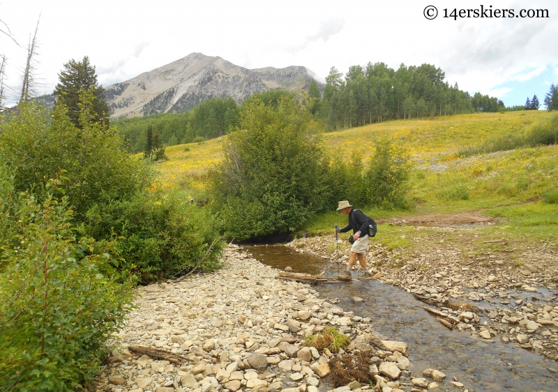
And quickly encountered this sign:
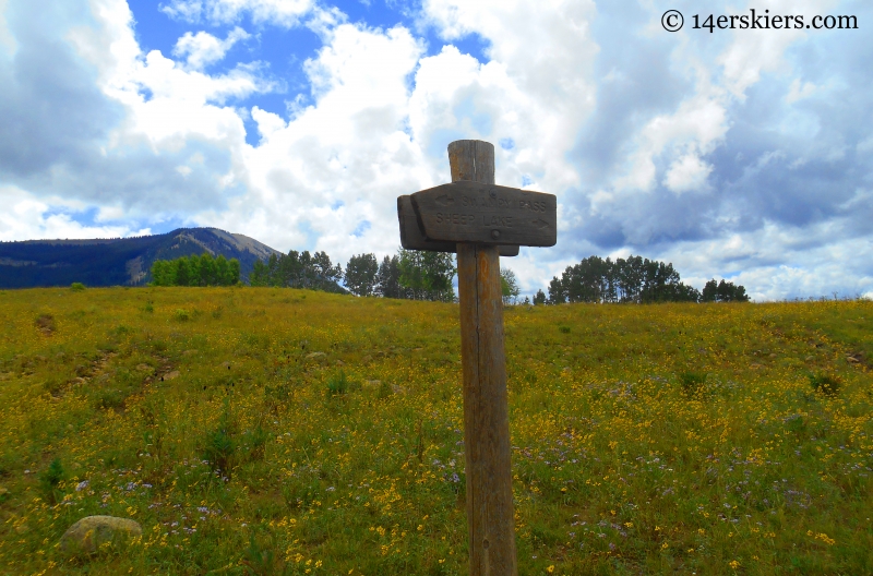
We again took the left fork, which became Trail 438 or the Lowline Trail. This trail began the gradual climb upward toward Swampy Pass. The views of East Beckwith, which we hugged along when climbing toward Beckwith Pass, were fantastic.
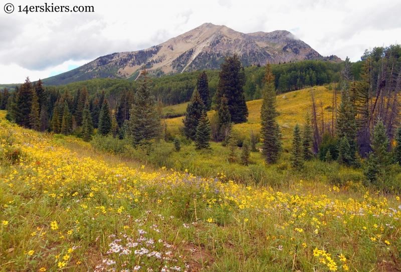
Another view deep into the heart of the West Elks.
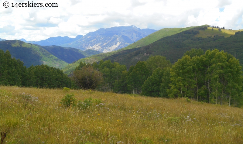
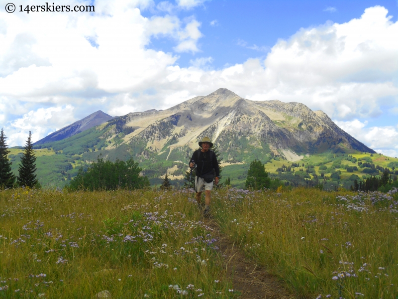
As we rose, East Beckwith kept looking more magnificent. And, the weather continued to improve.
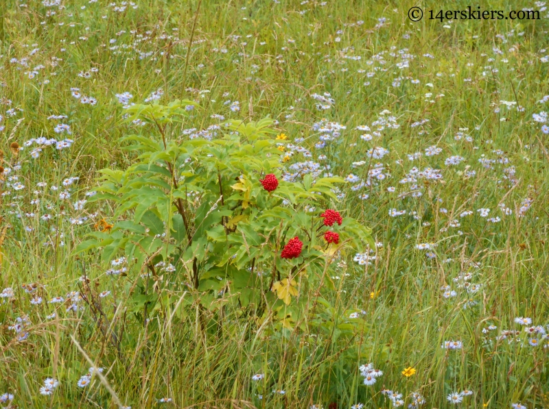
Red berries stood out among the late summer flowers.
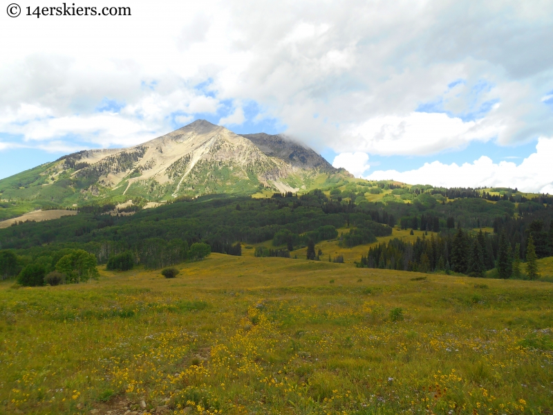
One last look at East Beckwith before we submerged into a dense pine forest.
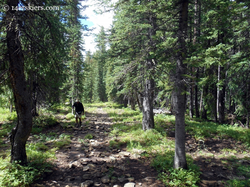
The forest.
At about 5.4 miles (3 miles from Beckwith Pass), a sign pointed to another intersection in the trails. Taking the left fork for the third time, we were now on the actual Swampy Pass Trail (Trail 439).
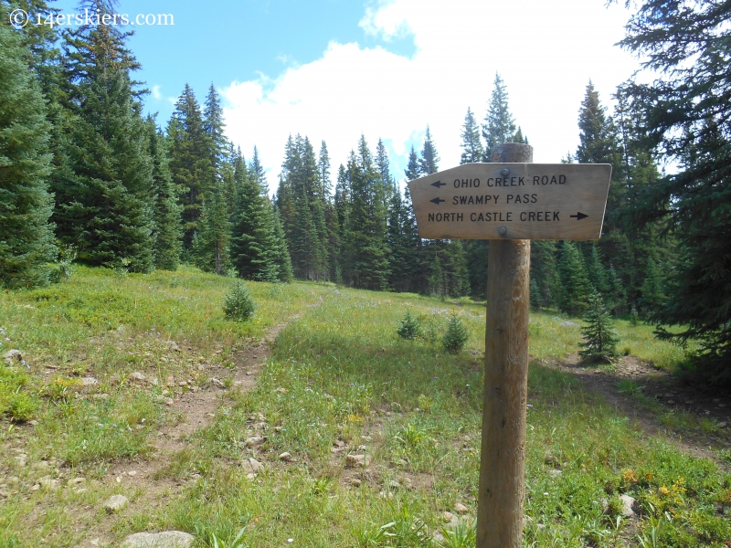
The trail continued upward through a forest until we reached Swampy Pass.
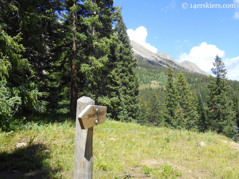
I was surprised to see a sign, as one had not been there two years ago, when I had last visited this pass. At 10,230′, Swampy Pass is a bit unimpressive with minimal views. In fact, I wasn’t even exactly sure where the summit was when I hiked this trail (from the Swampy Pass trailhead) two years before!
A view of the Anthracites from the south, near Swampy Pass.
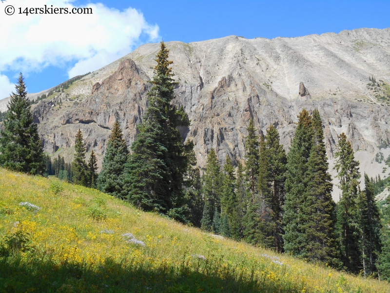
The trail continues onward through the dense pine forest for a little over 2 more miles. This section of the trail is laden with rocks, lacking in views, and frankly kind of tedious. But, then the trail emerges into meadows and aspen forests, providing a breath of fresh air…. and this view of the Castles.
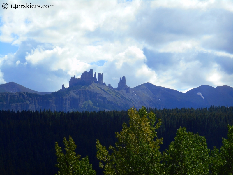
This part of the Swampy Pass trail is truly spectacular at times.
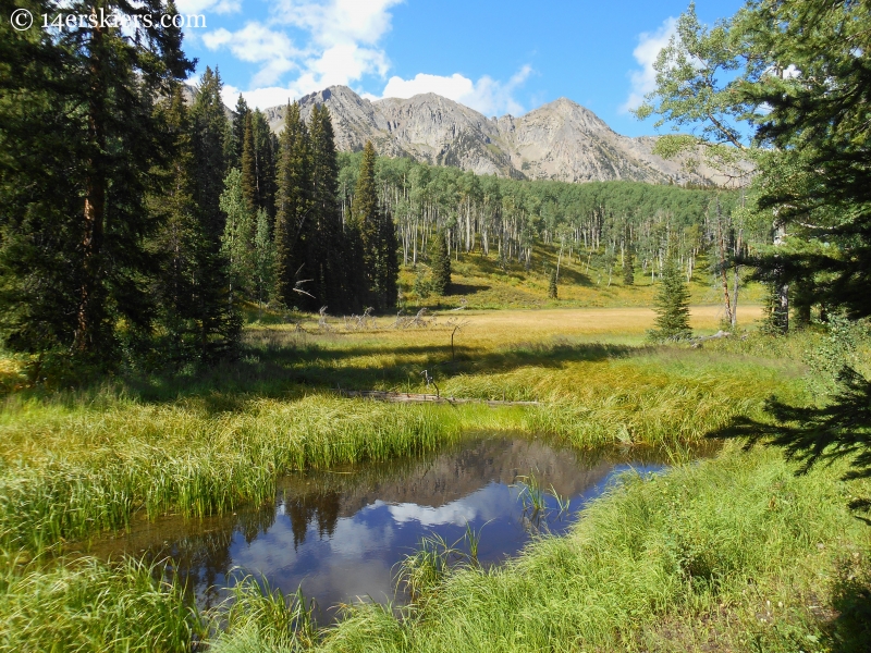
As the late afternoon set in, the light became amazing. This is a view south, down the Ohio Creek Valley. This is what I call “pre-fall”.
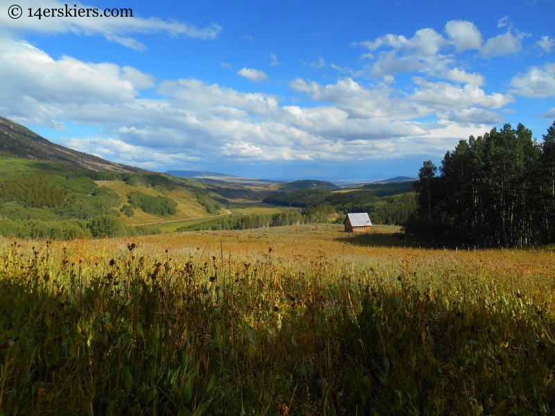
One last view of the Castles.
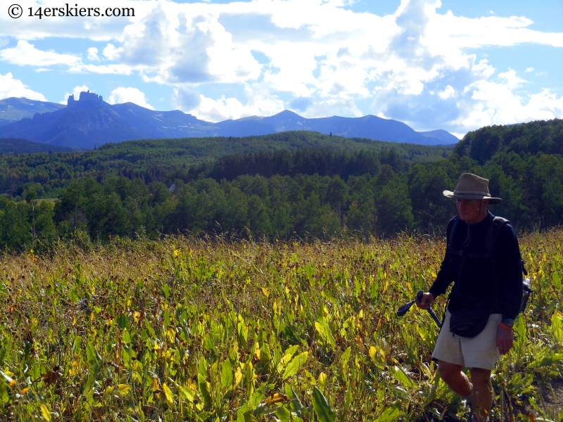
The hike from Horse Ranch to Swampy Pass trailhead is a little under 12 miles in distance, but provides a nice mix of wildflowers, panoramic vistas, and forest. Being moderate to gradual in steepness, this trail makes for easy hiking, even though the distance is fairly long. We completed this hike in 5 hrs 15 minutes at a very moderate pace. Horse Ranch to Swampy Pass trailhead is a fun hike and a great way to explore the West Elk Wilderness.
Want to do this hike yourself?
- Mount Buckskin (17 May 2020) - May 28, 2020
- Horseshoe Ski (14 May 2020) – The mountain whose journey nearly killed me - May 27, 2020
- Sayres X-Rated Ski (10 May 2020) - May 19, 2020

