TR: Land of Enchantment – Hasley & Frigid Air Pass Hike
(Last Updated On: )
I’ve done my share of hiking, biking, skinning, climbing and skiing in the mountains around Crested Butte and beyond. Through these adventures, I’ve visited hundreds of magical places and gazed upon scene after scene that belong in some Monet painting or Ansel Adams photo. Though these places have each left their mark in my lasting memory, my hike to Hasley and Frigid Air has left one of the greatest lasting impressions. It is a beautiful hike full of some of the most stunning scenery that Colorado has to offer. But words can’t capture the feeling. So, let me try to entice you with photos.
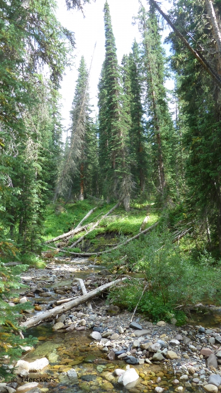
Eddy (borrowed dog) and I began from the Schofield Park trailhead.
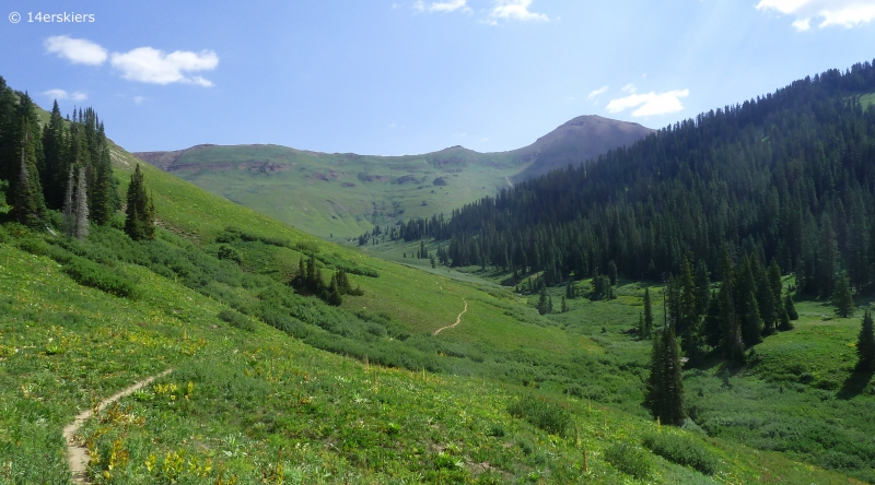
We began hiking up the East Fork Valley.
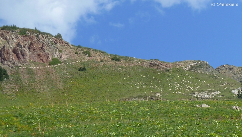
As we were hiking, I heard some unusual noises to my left. I looked up the hillside to find a large herd of sheep.
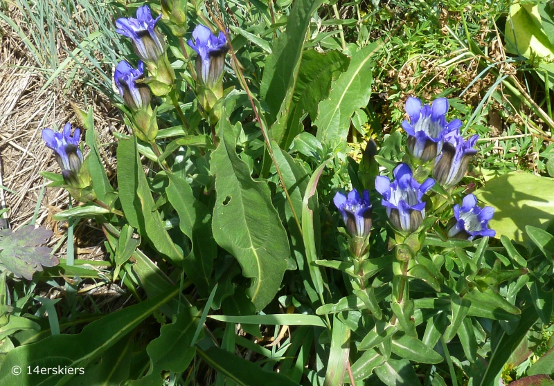
Mountain Gentians.
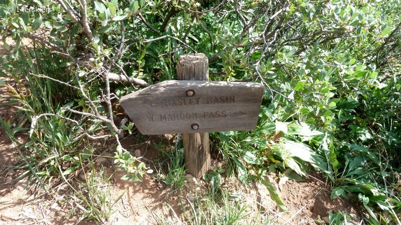
After about 2 miles, there is a split in the trail pointing toward Hasley Pass.
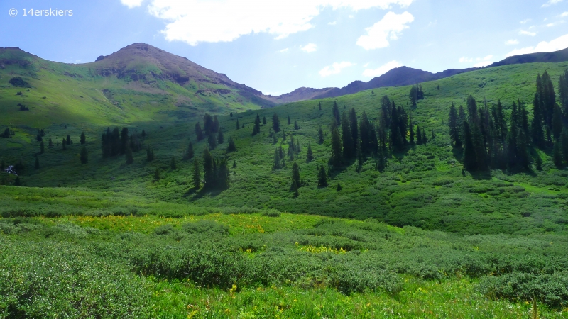
The trail began to climb steeply out of the valley. Looking toward West Maroon Pass, the saddle in the distance.
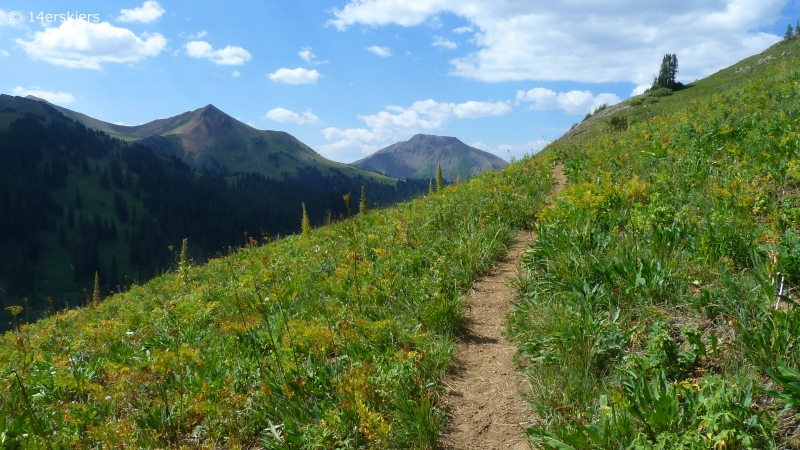
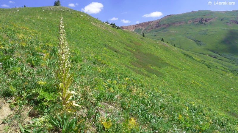
The hill was covered with scattered Monument plants, which only flower once and may not do so for 70 years.
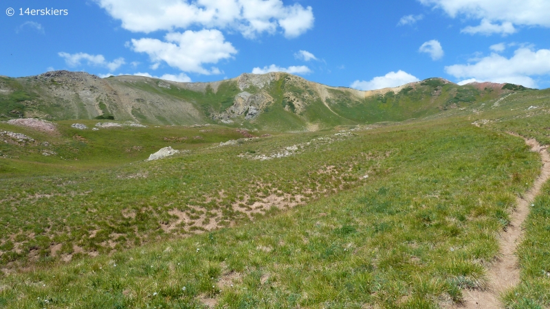
The trail flattened as it reached an upper bench that passed through this scenic basin. Hasley Pass is in the distance on the right.
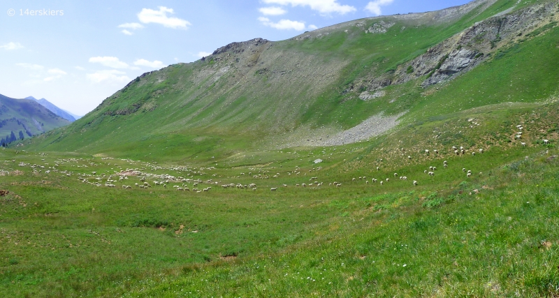
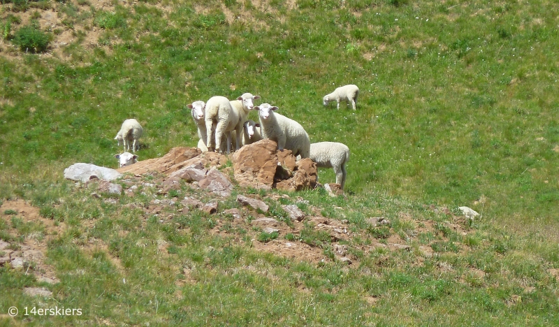
The basin was filled with more sheep.
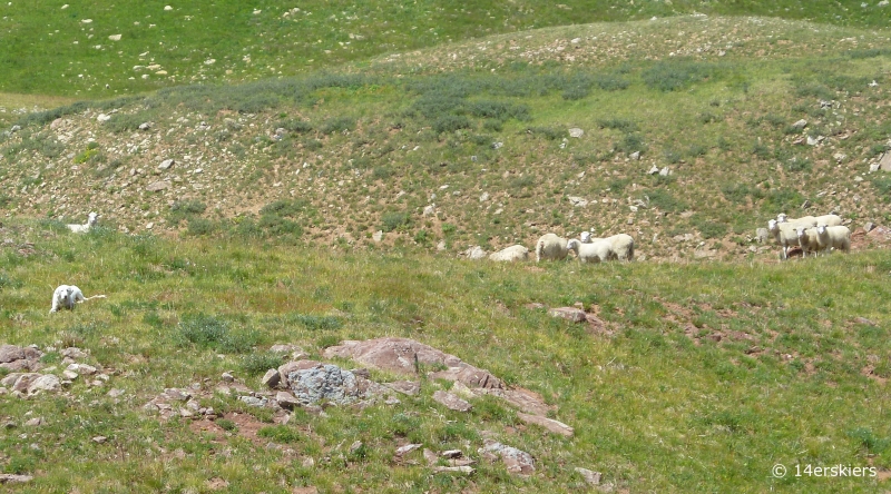
Notice the sheep dog on the left.
Looking back down the basin, with Belleview Mountain and West Maroon pass in the distance on the left.
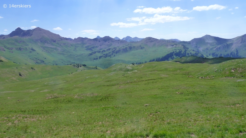
A closer view of Belleview Mountain.
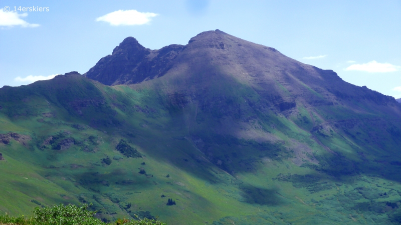
The other Bellview – Yes, spelled differently too. Mount Bellview.
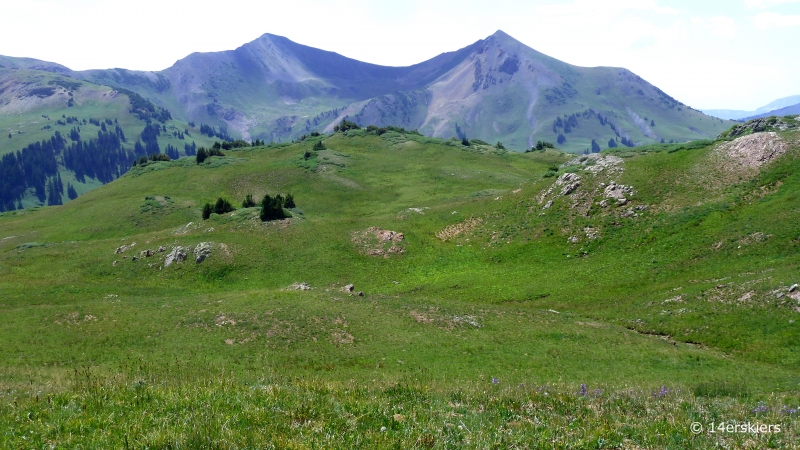
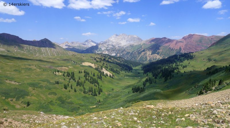
The backside of the Maroon Bells and Frigid Air pass.
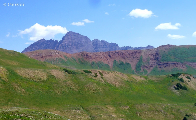
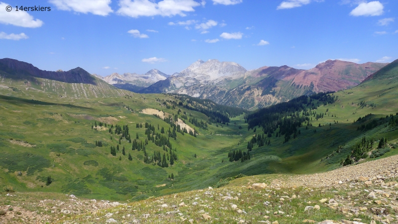
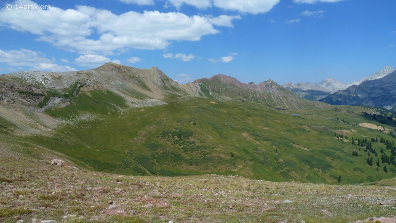
But the best views were found when reaching the pass and gazing over to the other side and into Hasley Basin. The view was absolutely stunning.
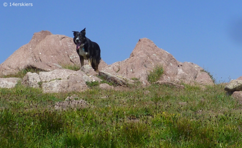
Eddy liked it too.
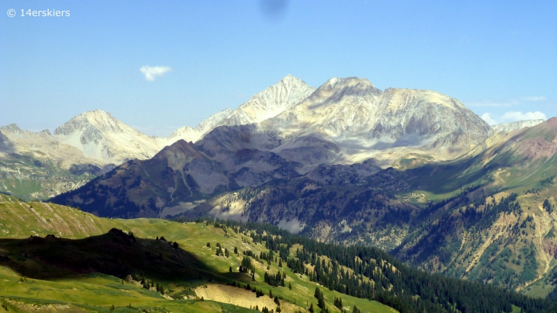
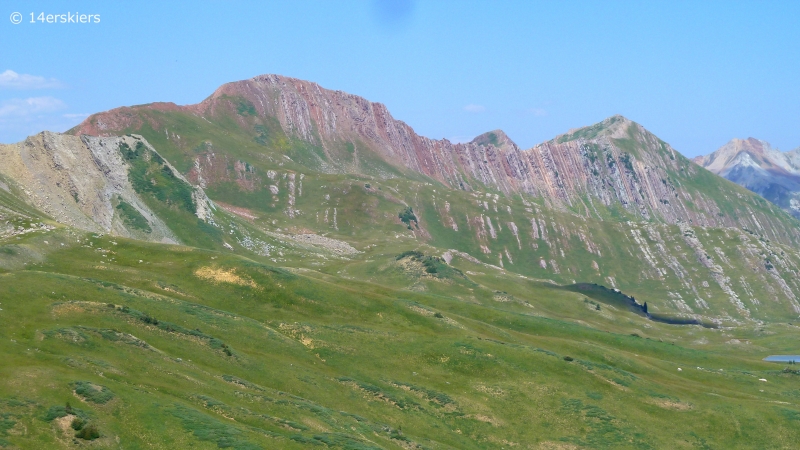
Close-up of Siberia, Snowmass, and Hagerman. Notice a small slice of Capitol peaking out behind Snowmass.
Love this feature.
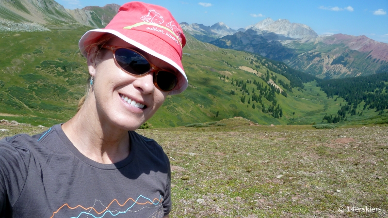
Self-portrait.
To loop back toward Frigid Air Pass, the route is unmarked and somewhat unclear for those not familiar with the area. I first followed the trail for a few minutes down into Hasley Basin. There is a split in the trail that leads toward the right through a pile of scree.
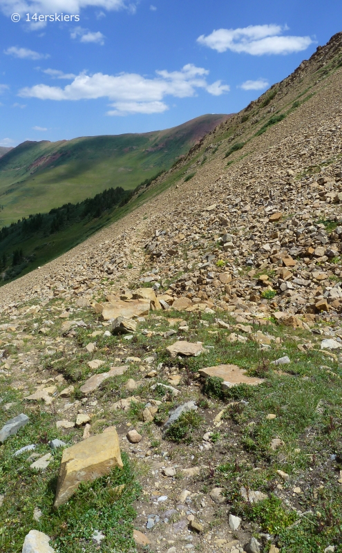
After passing the scree, the trail continues downward and continues to fade and doesn’t seem to go anywhere. Instead of following the trial after the scree, it is best to contour through the tundra, heading toward this saddle.
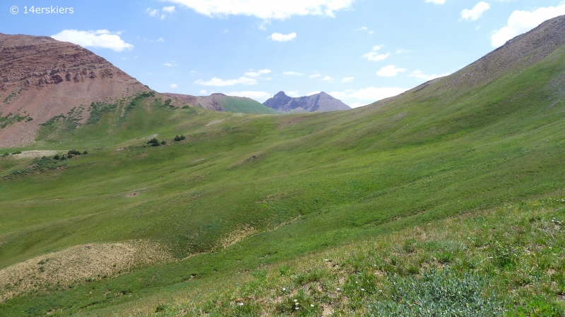
Please note, I never saw a route marked with cairns or even a faint path through this section. Just head toward the saddle.
After passing over the saddle, there is a more distinct trail leading east toward Frigid Air Pass. Looking back at the saddle.
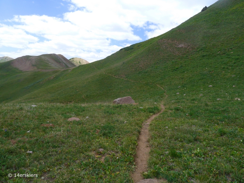
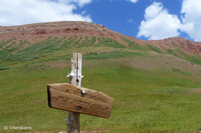
The trail leads to this sign, and Frigid Air is not far (see the trail in the photo). Note that the trail from Hasley Basin is not marked.
The trail climbs steeply as it nears Frigid Air pass.
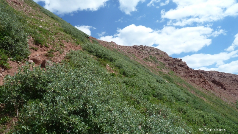
Looking back down, and at the route from which I came, from close to the top of Frigid Air Pass.
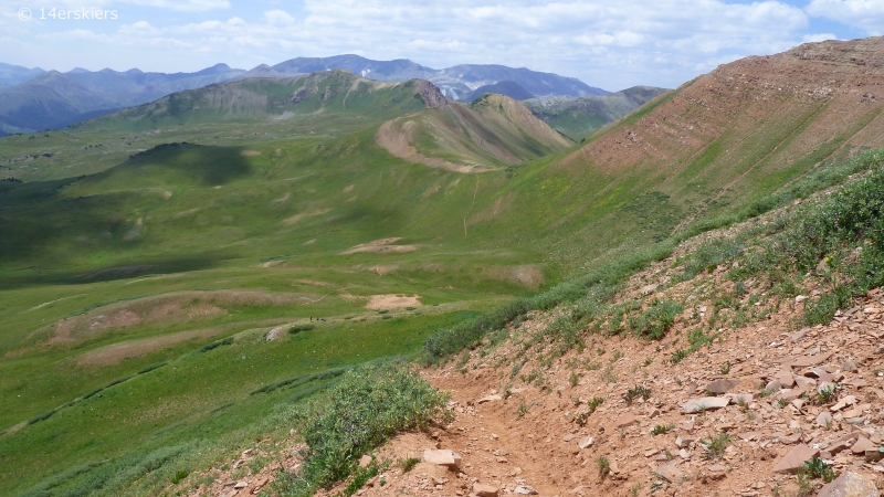
I had gazed upon the Bells from Frigid Air during the spring months where all was snow-covered. But, this was my first time in summer. Still stunning!
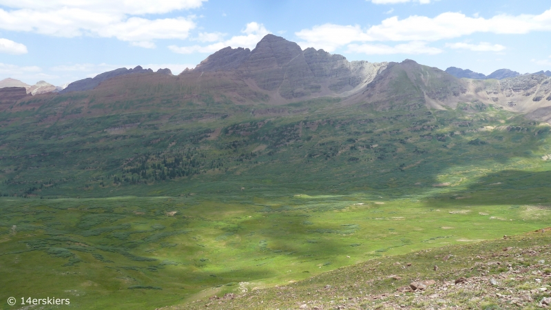
Looking down Fravert Basin.
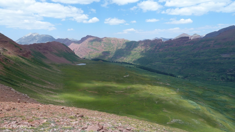
Looking down the other side, East Fork valley.
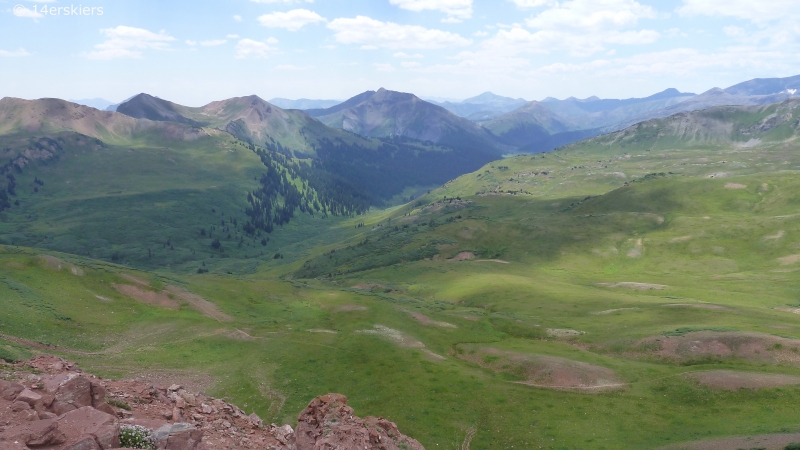
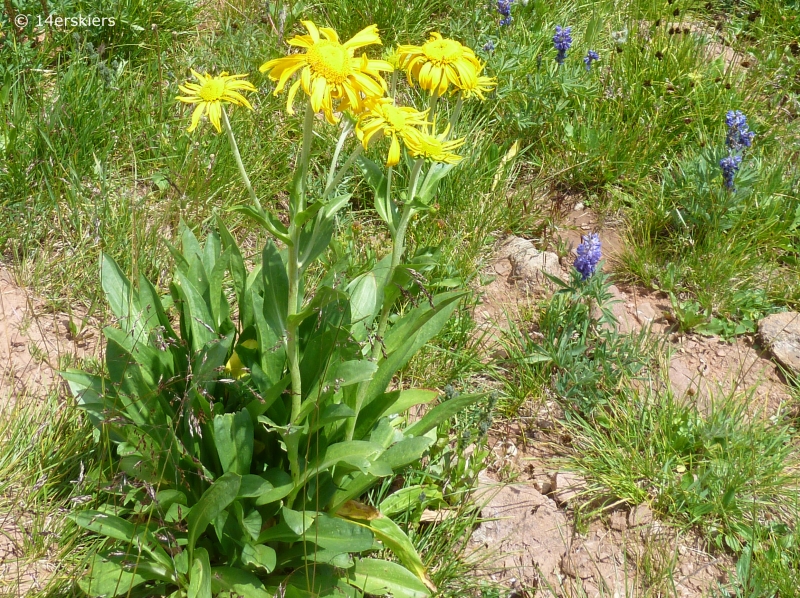
After enjoying the views from Frigid Air, we continued down the East Fork valley, enjoying the spectacular wildflowers along the way.
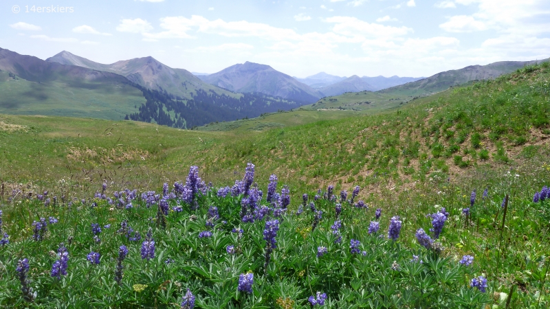
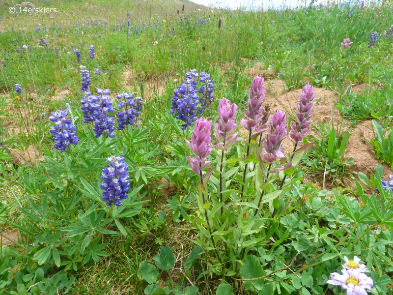
The trail traverses to the southwest for about 1.5 miles before dropping much elevation, offering great views of the upper “sheep” basin we passed through on our way to Hasley.
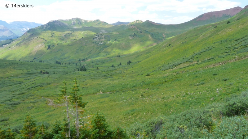
All in all, this hike is about 10.5 miles and about 2900 vertical feet. Another day of excellent exploring this land of enchantment. I personally believe that this is the most scenic hike in the Crested Butte area and has easily become a favorite of mine. So, get out there, and enjoy the vastness and the views!
Want to do this hike yourself?
- Mount Buckskin (17 May 2020) - May 28, 2020
- Horseshoe Ski (14 May 2020) – The mountain whose journey nearly killed me - May 27, 2020
- Sayres X-Rated Ski (10 May 2020) - May 19, 2020


Hey Brittany…I just love your site…being a photographer it is really helping me get a gameplan for my upcoming visit in late July…your work here is wonderful, committed and just plain excellent…I imagine it is a labor of love but I wanted to say thank you for the work and for your mountain passion! It shows…I plan to rough camp at the trailhead and take a couple of day hikes deep into the this country especially Halsey, Frigid and over the wall toward Aspen….great stuff…Thanks again…best…Steve
Brittany, we did this hike yesterday. You are correct. It is one of the most spectacular hikes we have ever done. After leaving the pass at Halsey, we thought we were a little lost. However, we innately did as you instructed here. Lucky us! Thanks for sharing. I almost felt like I was walking the hike again. I was also glad to get the name of the blue flower in one of your first slides. Keep hiking.
Hi Trilby – So glad you enjoyed your hike! Thanks for your comment too!
How was the drive to the trailhead?
The drive was beautiful Jesica! If you’re wanting to know more about road conditions, that varies from year to year. But typically it’s on the rougher side for a passenger car. I slightly higher clearance car is recommended.
I’ve seen a video and it looks like u could fall off the cliff. Are you that close? We have a Jeep Patriot. Thanks!
There is one exposed spot before Emerald Lake that has room for only one car. But if you know how to keep your car in one lane you’ll be fine! No big deal at all!