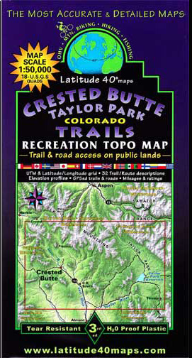
Latitude 40 Map – Crested Butte / Taylor Park
This Latitude 40 Map is in it’s 3rd edition and is the best map for trails in the Crested Butte area. It covers as far north as West Maroon Pass. The southern boundary is at Tin Cup / Cross Mountain, eastern boundary is Texas Lakes, and Western Boundary is Horse Ranch Park.

The scale of the Crested Butte / Taylor Park map is 1:50,000 and it covers most of 18 USGS 1:24,000 7.5-minute quad maps and is two sided with the eastern half on one side, and western on the other. There are trail descriptions for 32 routes, with descriptions, length, and elevation gain as well as seasonal hazards.
The Latitude 40 is complete with useful contact information for the National Forests, IMBA (International Mountain Bike Association), Organization Information, and town information.
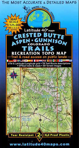
Hikers to/from Aspen should consider the Crested Butte / Aspen / Gunnison map.
![]()