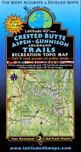
Latitude 40 Map – Crested Butte / Aspen / Gunnison
Currently out of stock. With a 1:125,000 scale, this Latitude 40 Map is a more “zoomed out” than the Crested Butte / Taylor Park map. This “big picture” map is great for planning trips that cover large areas of the region.

This Latitude 40 map is in it’s 3rd edition and is a great map for trails in the Crested Butte area that go to Aspen or west into the Castles. It’s northern boundaries are 13 miles north of Ruedi Reservoir, south to Cochetopa Hill, east to Mt. Elmo, and west to McClure Pass on HWY 133.
Most of the Crested Butte / Aspen / Gunnison map is located on the front side, but the southern region is on the back. It covers all or part of 64 USGS 1:24,000 7.5-minute topographic maps. the map is two sided with the eastern half on one side, and western on the other. There are trail descriptions for 79 routes, with descriptions, length, and elevation gain as well as seasonal hazards.
The Latitude 40 is complete with useful contact information for the National Forests, IMBA (International Mountain Bike Association), Organization Information, and town information.
![]()