TR: Biking Marshall Pass (11 July 2009)
(Last Updated On: )
I like camping. Missing out on spring ski mountaineering meant I missed out on weekend after weekend of camping at trailheads. But, now that bike season is full-on, camping bike trips have been on my mind. When Frank began talking of heading over to Salida to bike the Monarch Crest trail, I told him it was a great idea- as long as we camped.
The camping over in that area is some of my favorite. When biking near Monarch Pass, we usually camp near the base of Marshall Pass. Since I couldn’t ride single track still, I opted to ride Marshall Pass while Frank rode the Monarch Crest trail with our friends Sydney, Rob, Tom, Jay, Shawn, Chris, and Travis. So, this TR is the story of my day-long solo adventure.
From our campsite, I rode my bike down to the sign that pointed toward the Marshall Pass turn-off. The road there lead up a creek called Poncha Creek.
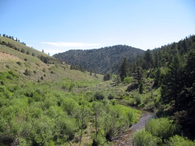
Shortly after, I crossed a bridge over Poncha Creek and saw this sign.
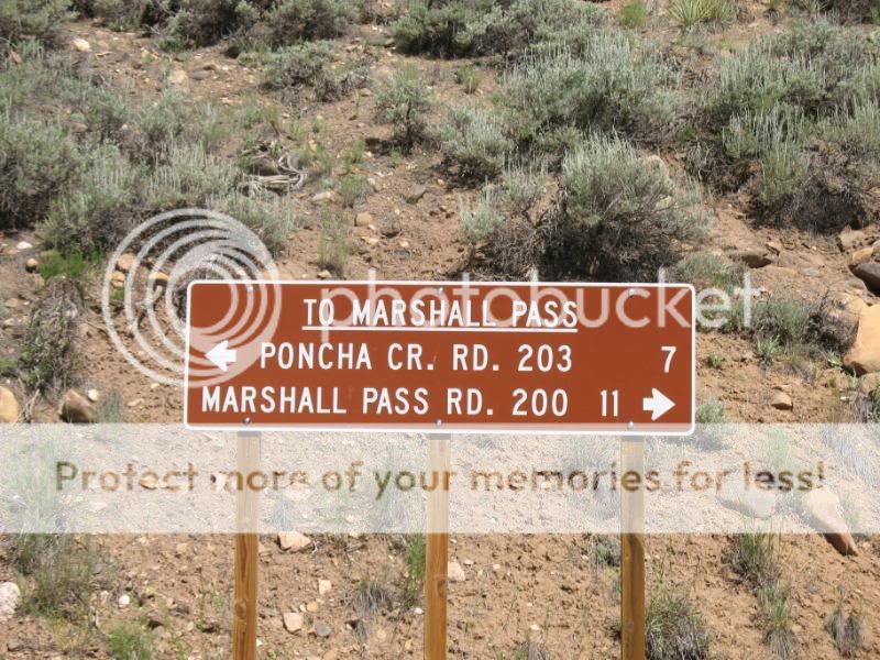
Which way do I go? I’d never been either direction- by car or by bike. Taking a chance, I opted for the road that seemed less traveled- the Poncha Creek Road.
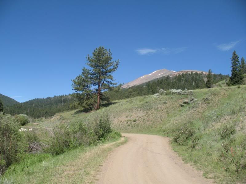
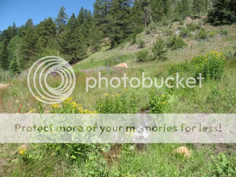
The road was scenic and enjoyable through the valley- dotted with wildflowers and creeks like these.
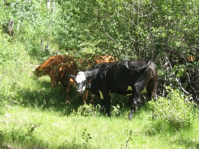
Aside from a few campers and a couple of cars, I was utterly alone- except for these bovine creatures chomping on grass 🙂
Eventually, the road began to climb out of the valley.
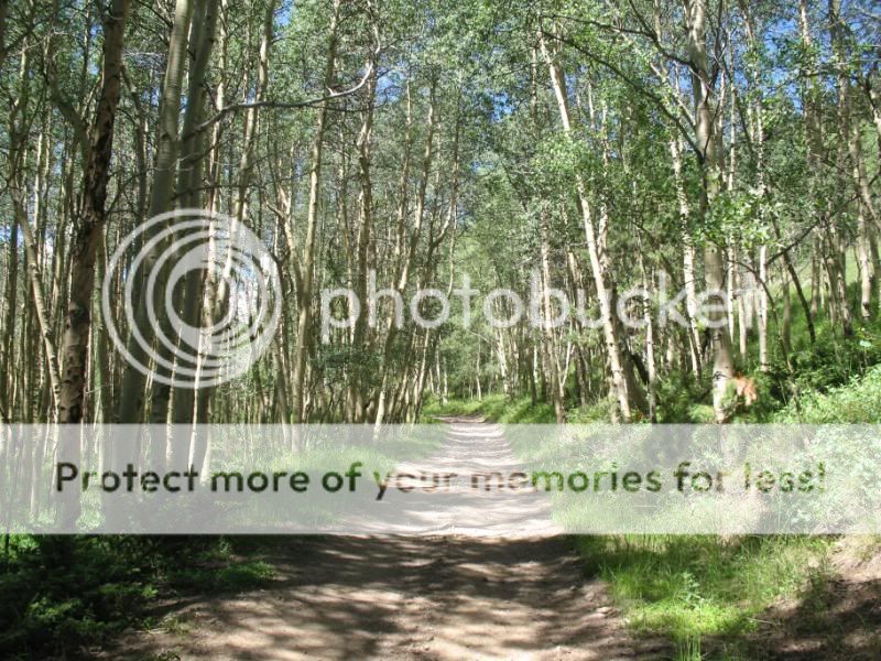
And I climbed, and climbed some more.
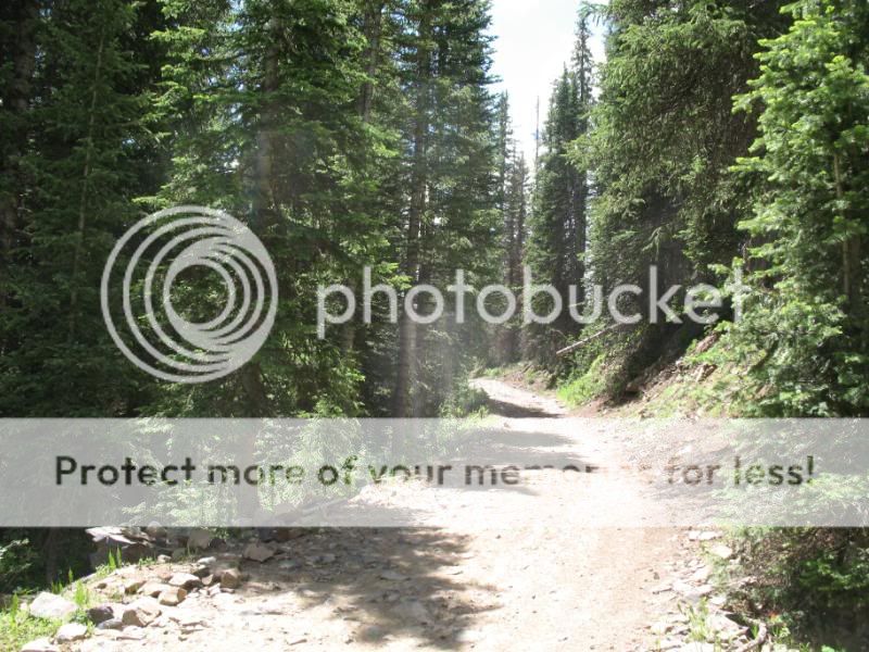
And took a little break to enjoy the sun.
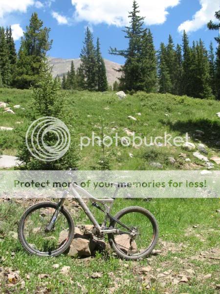
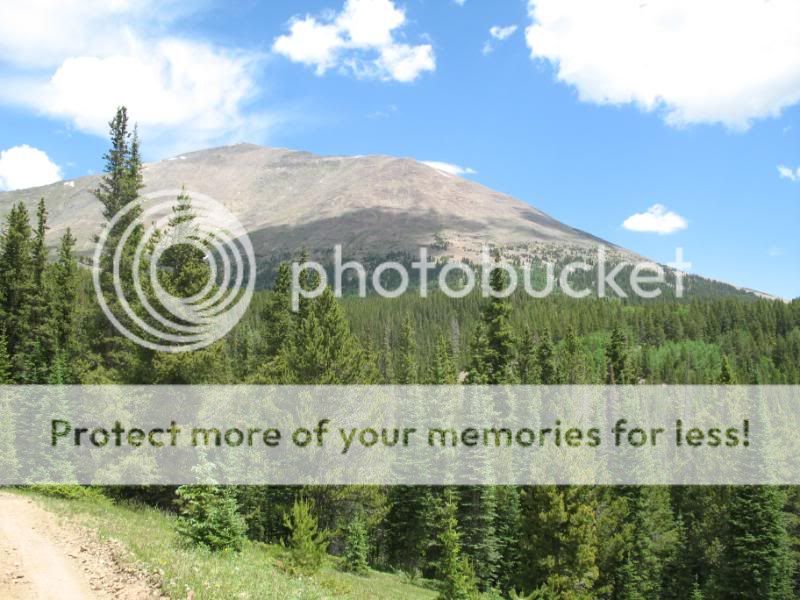
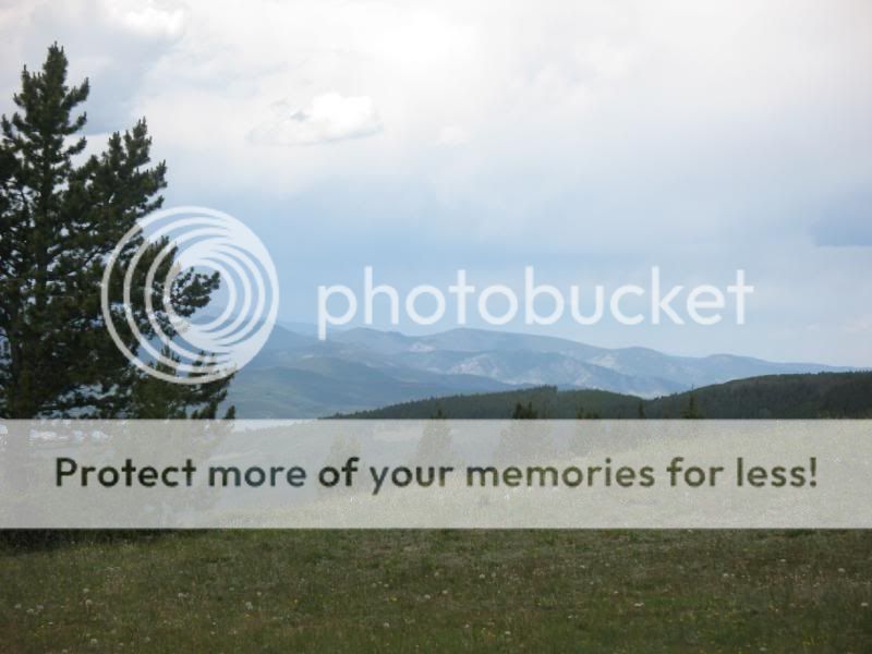
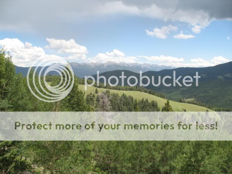
A couple of minutes later, the trees opened up a bit to reveal stunning views.
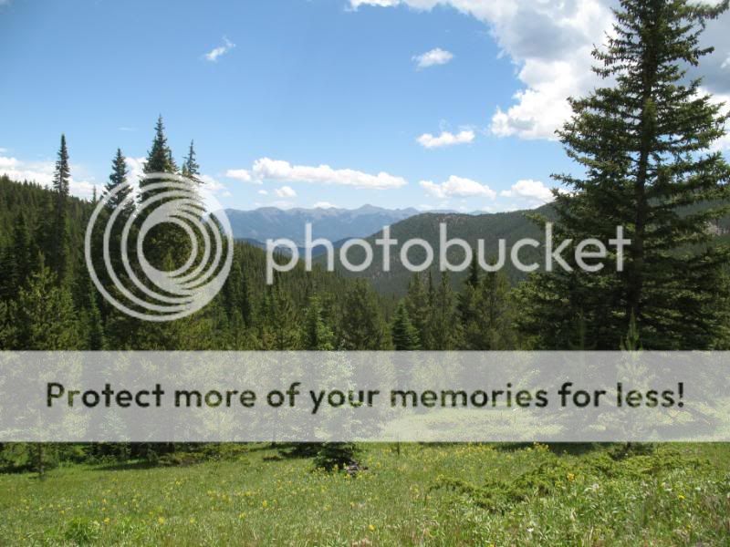
Alas, the top of Marshall Pass!
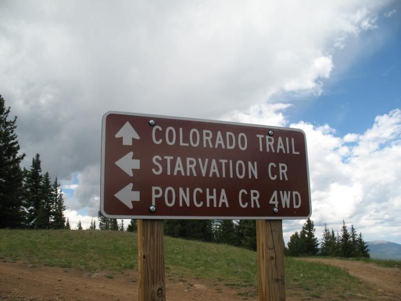
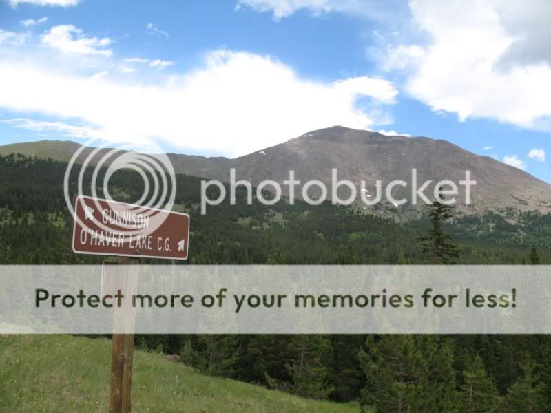
If you continue down the west side of Marshall Pass, the road heads toward Gunnison.
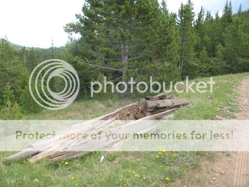
Signs of a different time were scattered about.
As I stood there at the top of Marshall Pass admiring the views, 2 ATV riders came up behind me, riding the same road I had ridden up. I looked at them and it was a man with his teenage daughter. The man stopped his ATV and pulls out a map. He looked over to his daughter and said, “Uh, lets see, where are we?”
I said, “You probably want to go right, unless you want to go to Gunnison.”
“Is this Continental Pass?”
“Uh, no, this is Marshall Pass. But, it’s on the Continental Divide.”
The man smiles in recognition, “Yeah, right the Continental Divide. Honey, we’re on top of the Continental Divide!…. Do you know what the Continental Divide is?” The daughter shook her head no.
I was admiring the father-daughter learning experience- until the father said this: “I don’t know what it is either,” he snickered. “Maybe it’s where two continents meet.”
I almost keeled over laughing! I mean, I try to have respect for the ATV-riding sort. But, this was just the classic case of sheer dumbness, only deepening the stereotype built within my trying-not-to-be-stereotypical mind. I realize it is likely these people were not from the mountains, that they were not likely even from Colorado. But, still- growing up in Ohio I even learned about the Continental Divide in elementary school.
I couldn’t let the teenage daughter go through life thinking the Coninental Divide was where two continents meet. So, I chimed in, explaining that the Divide actually divides the continents watersheds. One side flows toward the Atlantic/Gulf and the other toward the Pacific.
Leaving the ATVers to ponder on their own, I headed down the main Marshall Pass road.
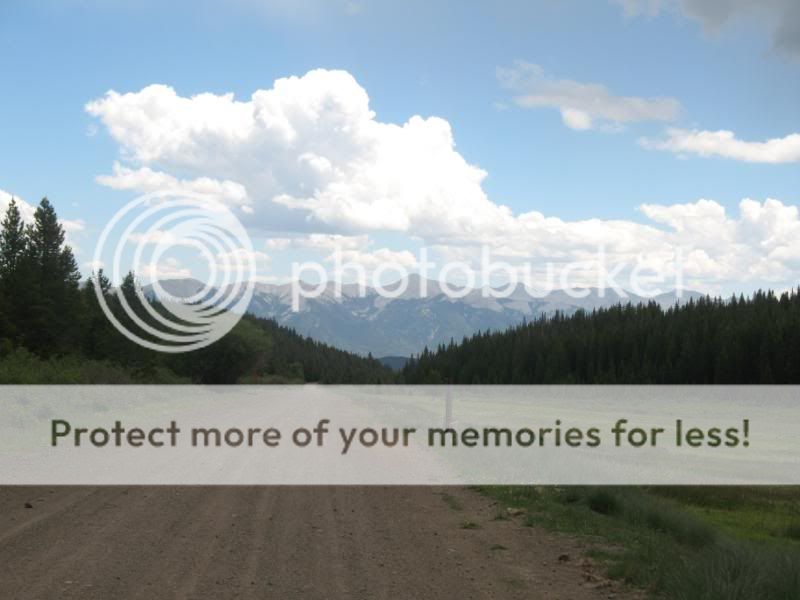
From the road, I was able to catch a glimpse of the valley where I had ridden up on Poncha Creek Rd.
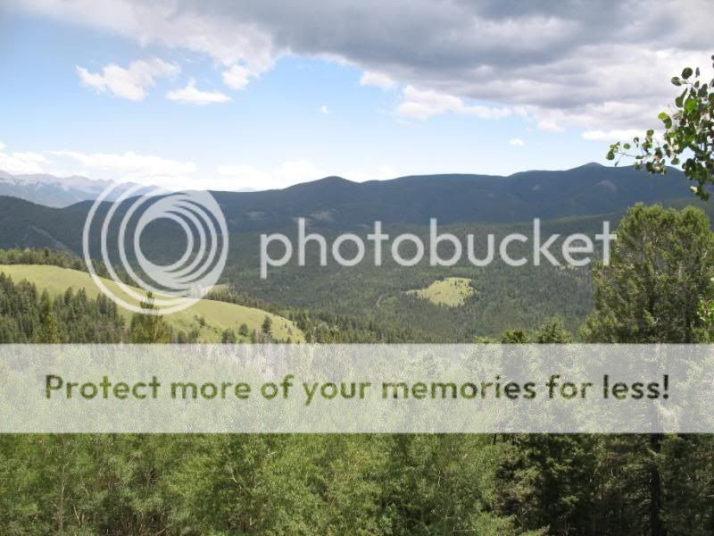
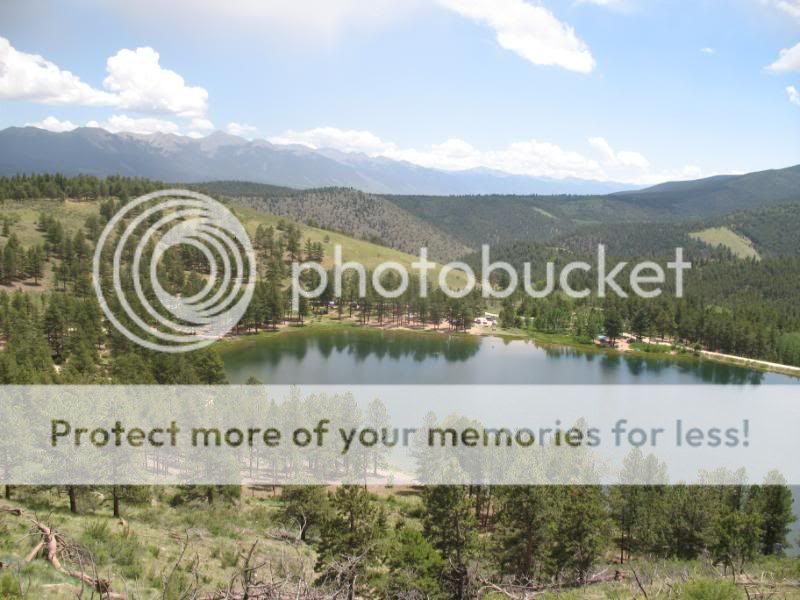
The last good view was of the O’Haver Lake. In a seemingly unlikely place, the lake sneaks up on you. But is still a joy to look at.
This Marshall Pass loop is something I happened to stumble upon. The ride took about 3 hours, more or less. Though not as adventurous as the Monarch Crest, it’s still a fun ride. I recommend that others check it out!
- Mount Buckskin (17 May 2020) - May 28, 2020
- Horseshoe Ski (14 May 2020) – The mountain whose journey nearly killed me - May 27, 2020
- Sayres X-Rated Ski (10 May 2020) - May 19, 2020

