TR: Riding Agate Creek off Monarch Crest (21 July 2017)
(Last Updated On: )
Monarch Pass undoubtedly has some great mountain biking options. When most people think of the “Monarch Crest”, they think of the main series of trails – starting out on the Monarch Crest, descending Silver Creek, and then onto Rainbow Trail. But, there are plenty more options for mountain bikers including Fooses Creek, Greens Creek, and Starvation Creek – all of which also descend east of the Continental Divide. But, then there’s Agate Creek, often overlooked, because it descends west of the Divide. But, this trail is one mountain bikers should definitely check out!
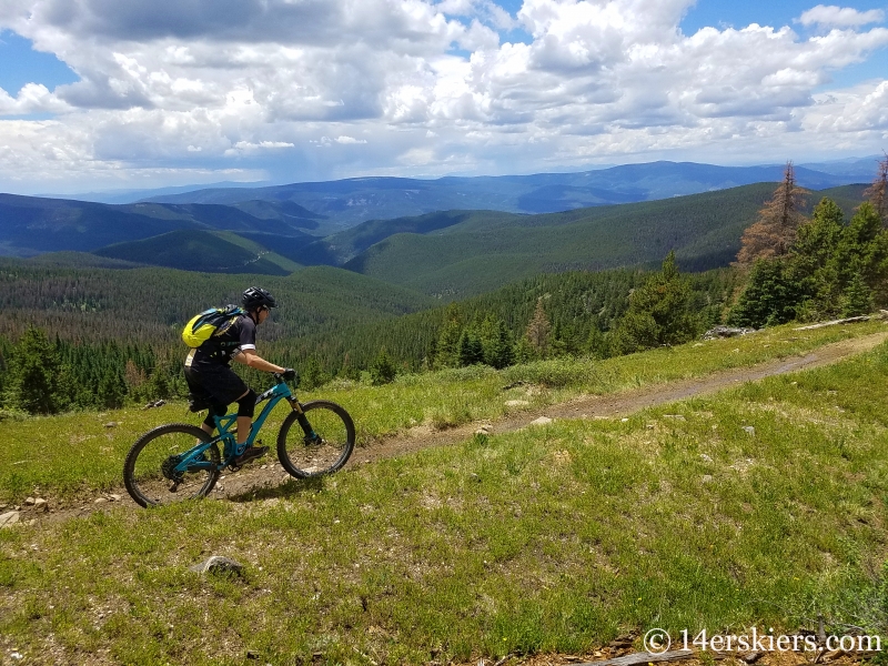
We began by riding about 8 miles along the Monarch Crest Trail, taking in magnificent alpine views like this.

We refueled at a meadow a hundred feet before the start of Agate Creek Trail.

Then it was down, down, down. Agate Creek trail starts off as a fast and flowy ride – for miles.

Frank.


Me.

Agate Creek trail quickly descends into the forest.


But, there are a few scenic meadows along the way.


Then, the stream crossings start. You start with small crossings of the Agate Creek, many of which you barely notice. But, then they get deeper, harder, and unrideable. I don’t know how many crossings there are, but I think it could be upwards of 20. In all honesty, the last few miles are definitely hampered by these crossings. If it weren’t for this Agate would certainly be my most favorite descent off the Monarch Crest. When riding Agate Creek trail, plan on getting wet. Very, very wet.

The Agate Creek drainage follows along Highway 50 for quite some time, although its several hundred feet below it. Aside from occasional noise and wreckage like this, you hardly notice that there’s a major highway above.

Despite the crossings, Agate Creek trail is still fun.

We even got rained on, but it didn’t matter too us. We were so wet from the stream crossings anyway!

What you need to know before you go
Agate Creek trail is nearly 10 miles, combined with the 8 miles you get on the Monarch Crest – that’s a pretty solid ride! This ride is typically done as a shuttle with a car at the top of the pass and one at the start of the trailhead, or even at Sargents. Hitching a ride back to the top (without a bike) from Sargents is also quite easy to do. Here’s a map to get you started!
- Mount Buckskin (17 May 2020) - May 28, 2020
- Horseshoe Ski (14 May 2020) – The mountain whose journey nearly killed me - May 27, 2020
- Sayres X-Rated Ski (10 May 2020) - May 19, 2020


Mmmm… I love me some Agate.
Who doesn’t!? Well, maybe those who hate stream crossings 😉