The Grand Mesa (5 Sept 2014)
(Last Updated On: )
The Grand Mesa is something I’ve known about for a long time. I first laid my eyes on it in the mid-90’s when traveling through Grand Junction. But, to be honest, I didn’t really think much about it…. Until about 7 years later when I was biking on a hot day in Fruita. As I complained about the heat, a local explained that during the summer months he rode “more often than not on the Mesa” seeking cooler temperatures.
From then on, the Grand Mesa has been on my radar. And although I’ve driven right by it countless times, I had not visited it. So, when my mom came into to visit from Ohio and wanted to go on some scenic drives, the Grand Mesa came to mind.
From Crested Butte, the Grand Mesa is best accessed by going over Kebler Pass and then through Cedaredge. We found ourselves quickly ascending out of the agricultural valley and into aspen forests as we climbed the Mesa. A look down at the valley and back at the West Elks as we ascended.
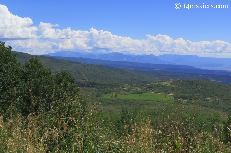
It did not take us long before we arrived at the new visitor’s center and Cobbett Lake.
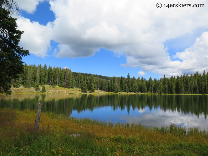
The Grand Mesa is full of lakes – about 300 of them. It is a fishing paradise! This is Island Lake.
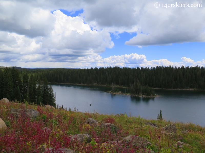
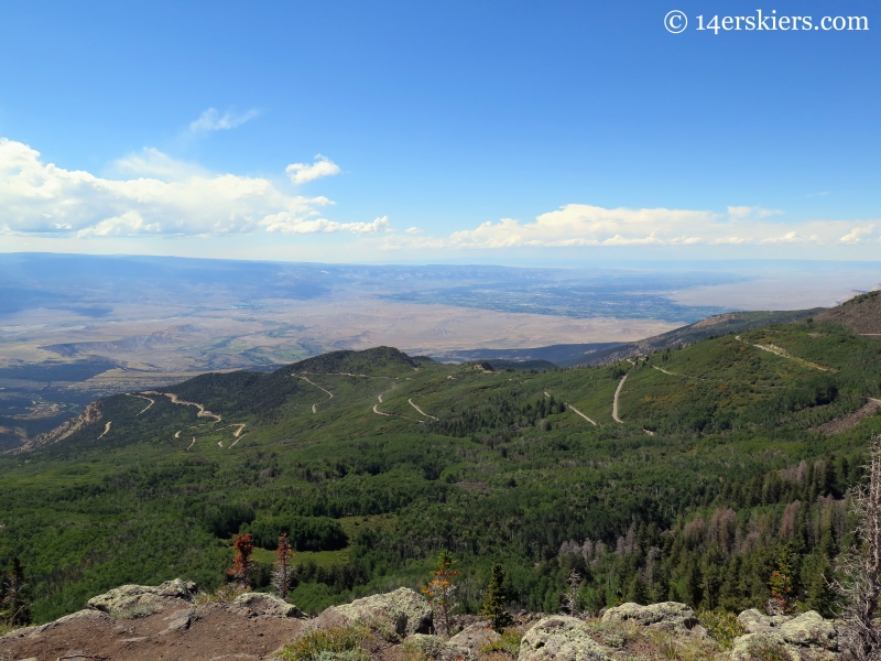
Standing at an elevation of 10,000 to 11,000 feet on average, the Grand Mesa stands about 6000 feet above the surrounding valley floors. Needless to say, temperatures are much cooler up on the Mesa! This is a view from the Mesa looking toward the Grand Valley.
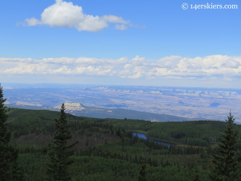
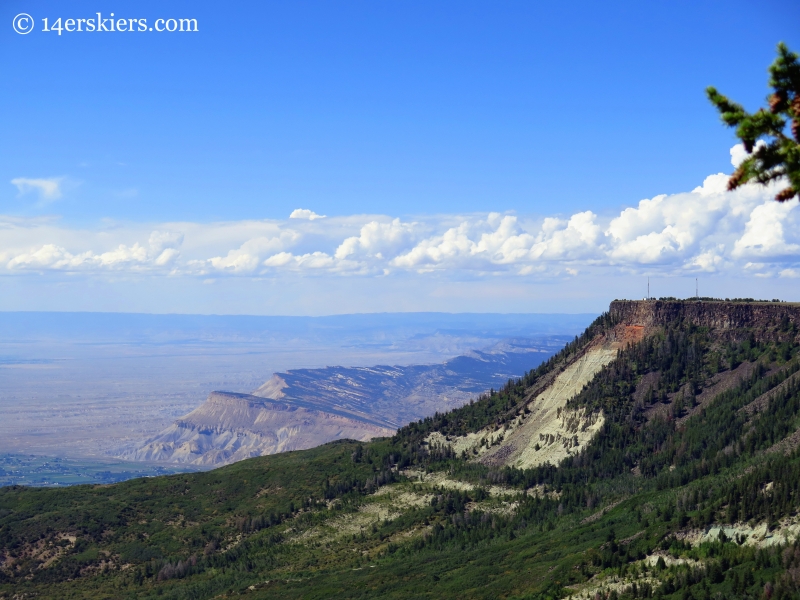
The view north to the desert mesas.
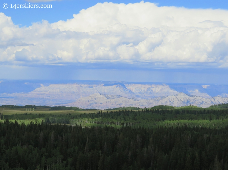
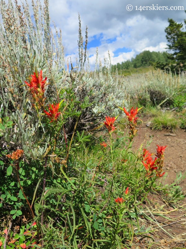
At the Skyview Overlook, we turned around and headed back south to make the turn westward on the historic Land’s End Road. There were occasional wildflowers still milling around.
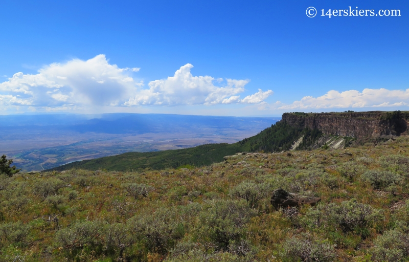
The Grand Mesa is the largest flat-topped mountain in the world, being about 500 square miles in area. It’s lower sedimentary layers are capped with basaltic rock that was created by lava flows from fissures about 10 million years ago.
The Land’s End road twists and winds through the western edge of the Mesa. It is truly an historic road, being built in the 1933 and ’34 by the CCC (Civilian Conservation Corp), to alleviate the unemployment rates caused by the Great Depression.
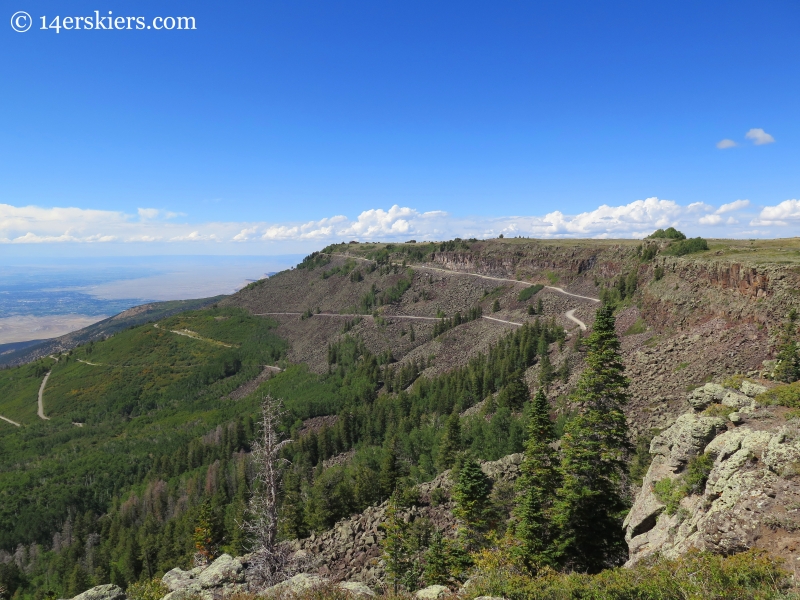
The Land’s End road is formerly called “Veteran’s Road” as many WWI veterans helped to built it.
Before the Land’s End road drops off the edge of the Mesa, there is an historic Visitor’s Center.
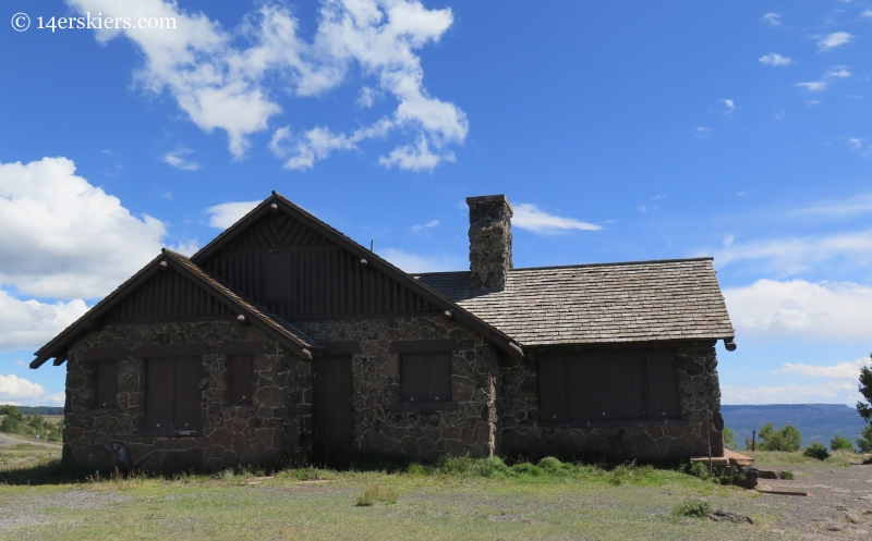
This historic visitor’s center sits at about 10,500′ and was built in 1936-37 by the US Forest Service and the WPA (Works Progress Administration). It’s architecture is to be admired as the builders used nearby basaltic rock to form the walls and barriers for the overlook.
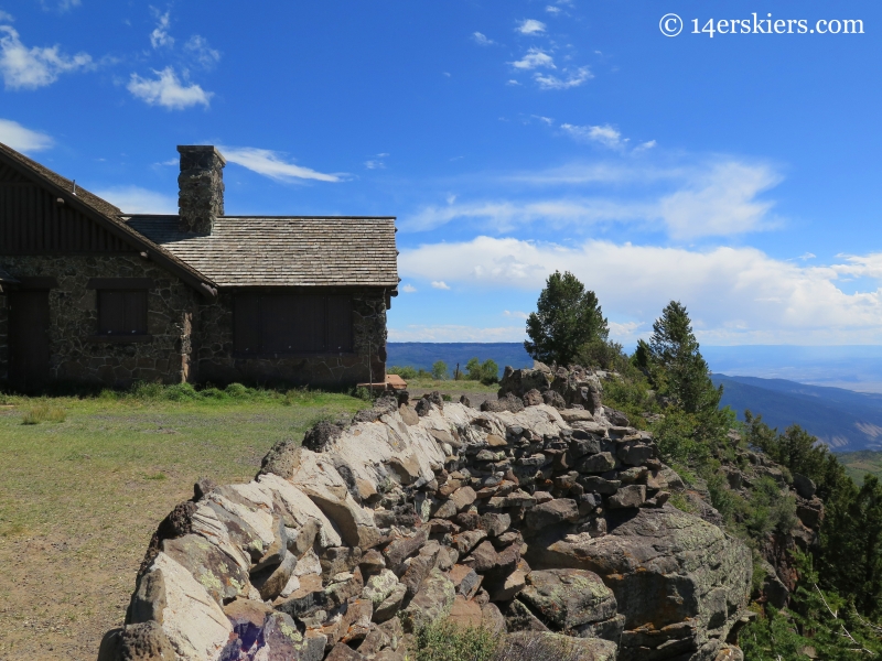
While the Visitor’s Center doesn’t seem to be used much anymore, the area has become more of an observation point. And a great one at that. A look toward the Grand Valley and the Bookcliffs.
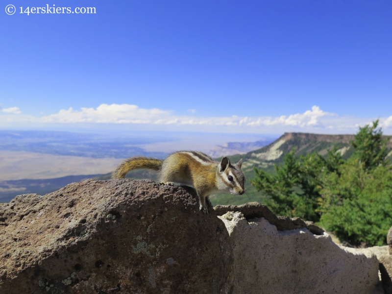
This chipmunk seems to have a pretty good life.
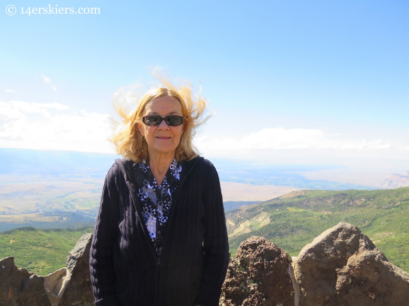
My mom enjoying the views.
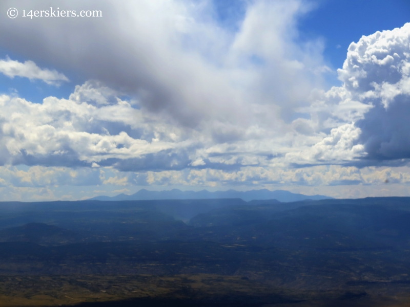
The La Sal Mountains in Utah, to the west.
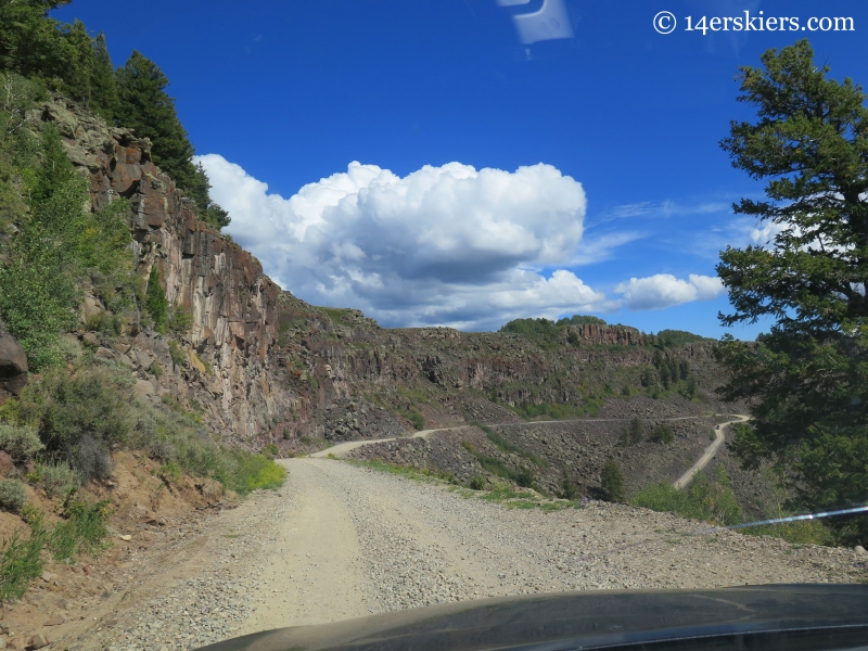
After spending some time enjoying the views, we headed down the Land’s End Road. This is a dirt road that, although requires some slower speeds, does not necessarily require a 4-wheel drive car. Most two-wheel drive vehicles would be fine on this. While it is kept up well, the Land’s End Road is still a 9.2-mile amazing feat of engineering – especially where the road was blasted through the cap rock near the top.
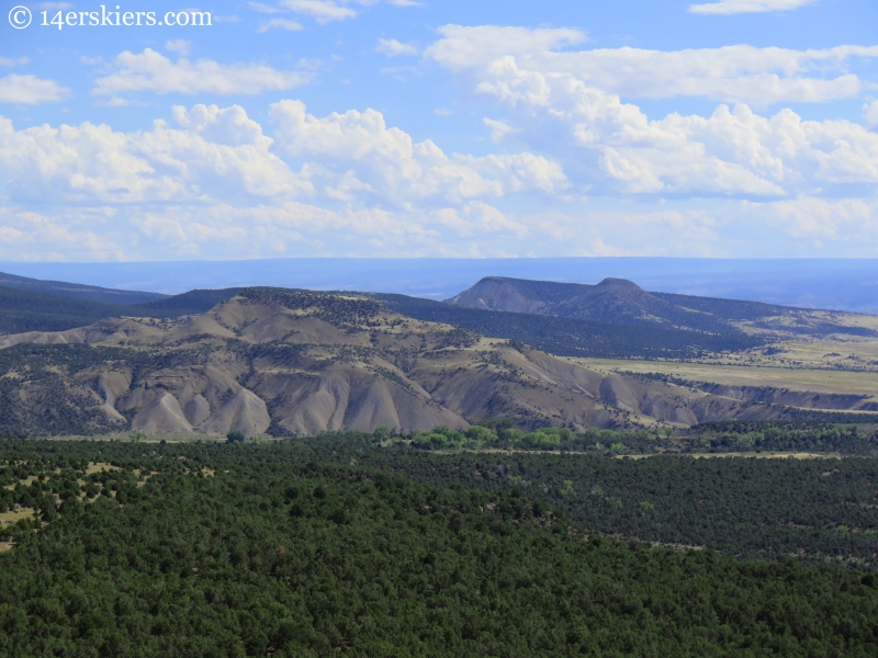
As we reached the valley floor, we were on the border where green meets desert.
The Grand Mesa is a very cool place that I’m glad to have visited. I hope to get back soon to experience more of what the Grand Mesa has to offer through some biking or hiking adventures.
- Mount Buckskin (17 May 2020) - May 28, 2020
- Horseshoe Ski (14 May 2020) – The mountain whose journey nearly killed me - May 27, 2020
- Sayres X-Rated Ski (10 May 2020) - May 19, 2020

