TR: Whitepine/Wuanita Ride (12 July 2009)
(Last Updated On: )
After our ride in the Salida area on Saturday, we headed over Monarch Pass on Sunday to an area most call White Pine. It is called Whitepine for the small town of Whitepine that lies in the valley. The area is popular to locals who know the secret “White Pine” ride. This ride follows the road up toward Tomichi Pass, but eventually takes a left, ascending an unnamed peak.
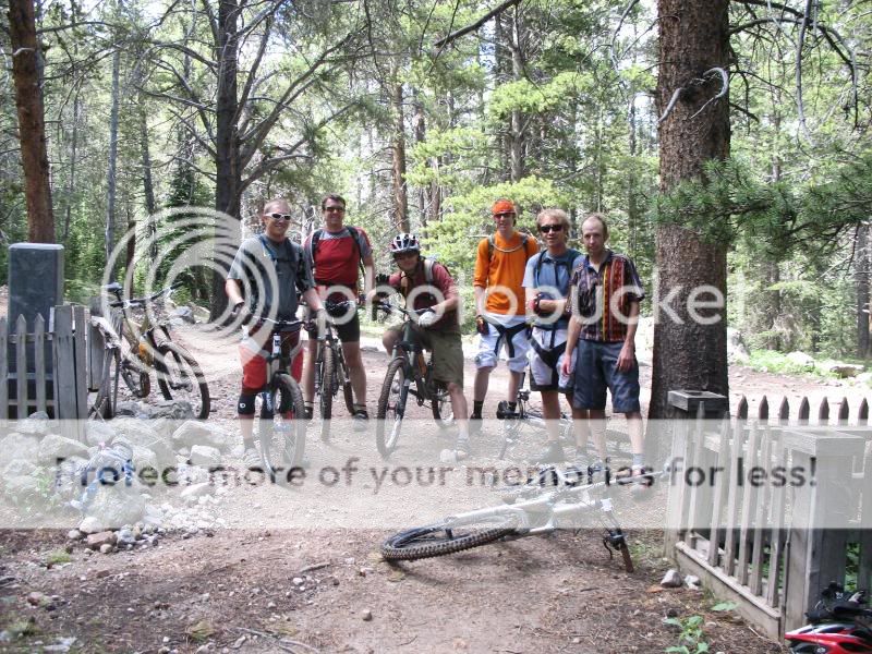
Frank and I met up with our friends Rob, Tom, Zack, Eric, and Chris who were all planning on doing the famed Whitepine ride. Since I cannot yet ride single track, I decided to begin my ride up Tomichi Pass with them, then part and head out on my own adventures.
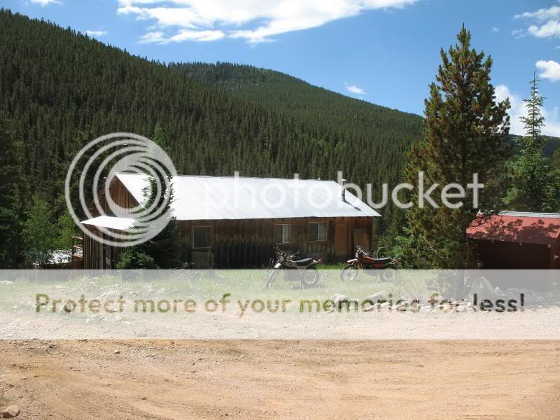
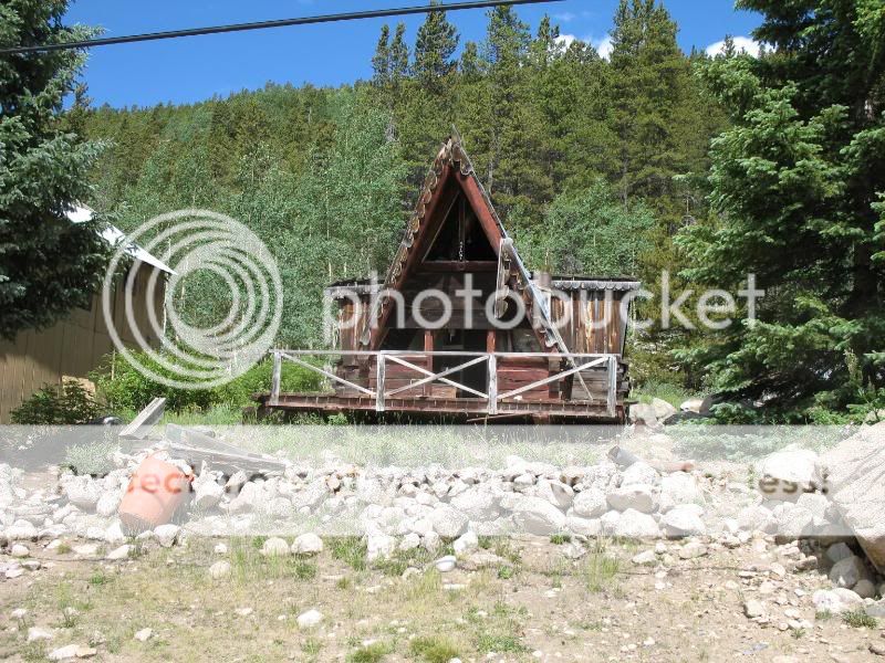
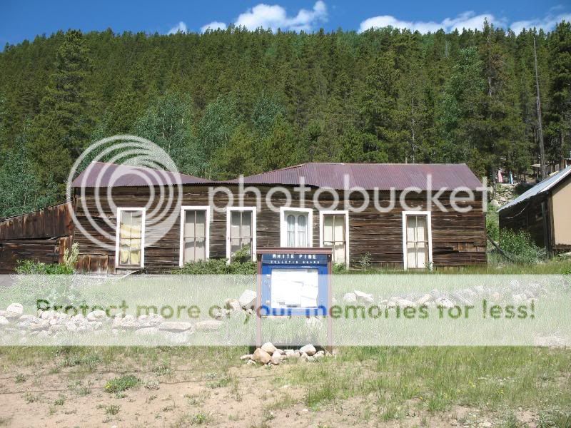
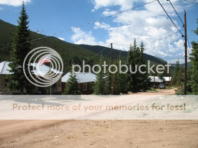
We parked at the Snowblind Campground. From there we road our bikes along the road and quickly found ourselves in the sleepy town of Whitepine.
When we reached the old graveyard, the road was getting more and more technical. So, I turned around, setting out for my own bike adventures. But, first we grabbed a pic of the boys!
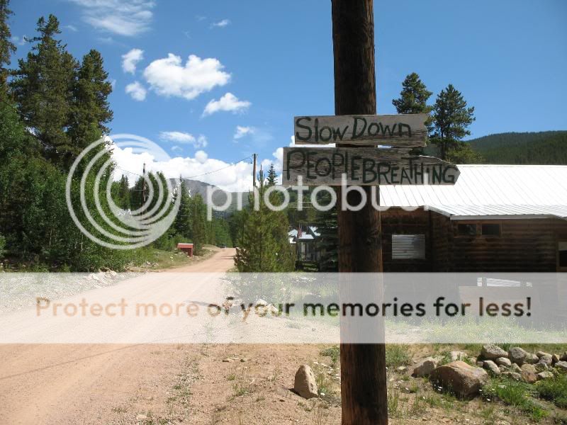
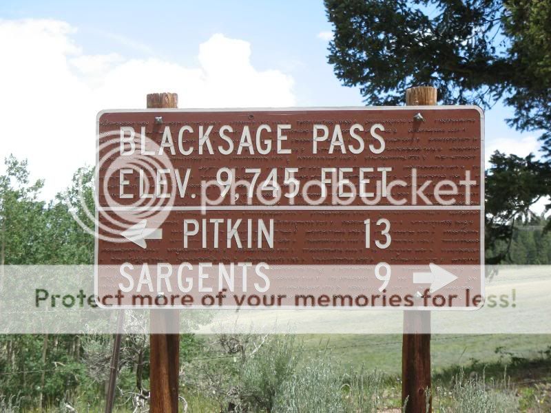
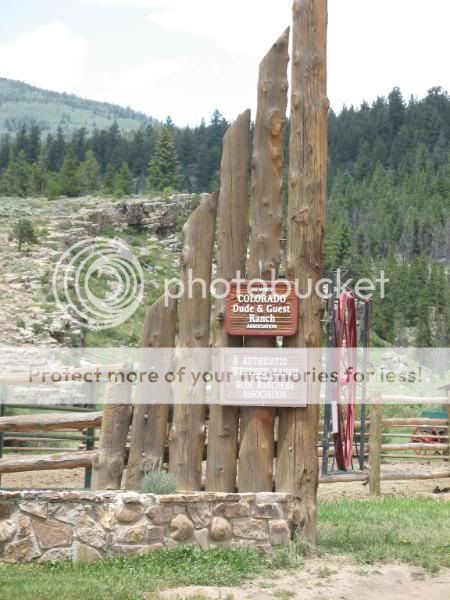
I rode my bike back through Whitepine, past the campground, with thoughts of riding up Old Monarch Pass. But, dark clouds were looming over that area. When I reached this sign, I decided it would be a better idea to ride the other direction, away from the clouds, over Black Sage Pass and into Wuanita Hot Springs.
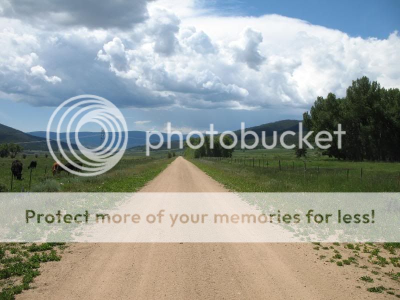
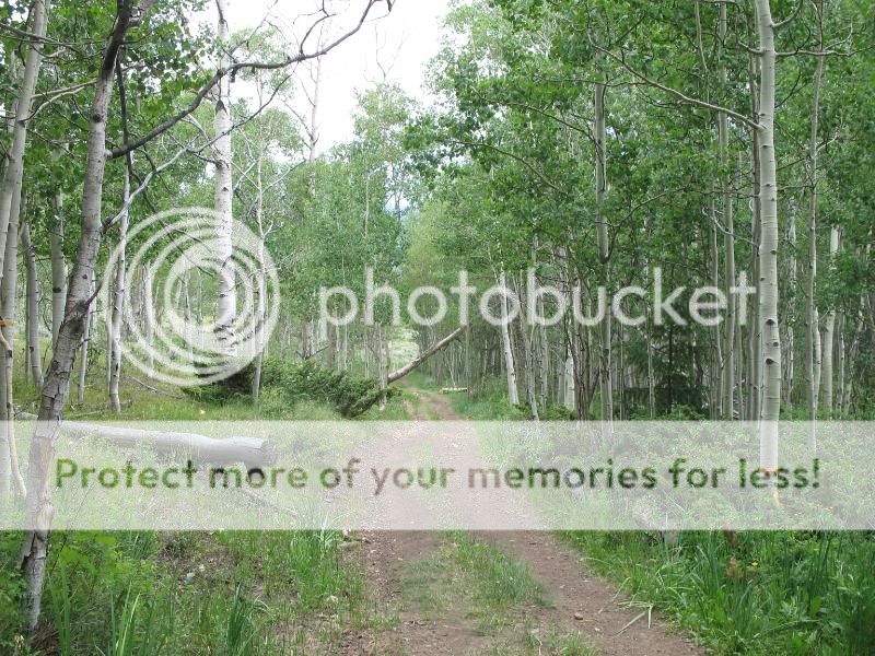
The road started out like this.
But then it eventually climbed over these hills.
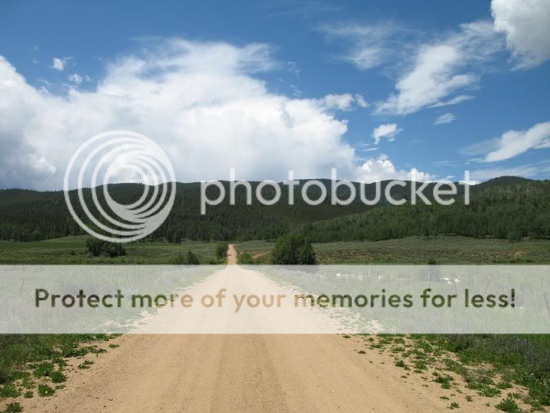
From the hills, you could see the valley below.
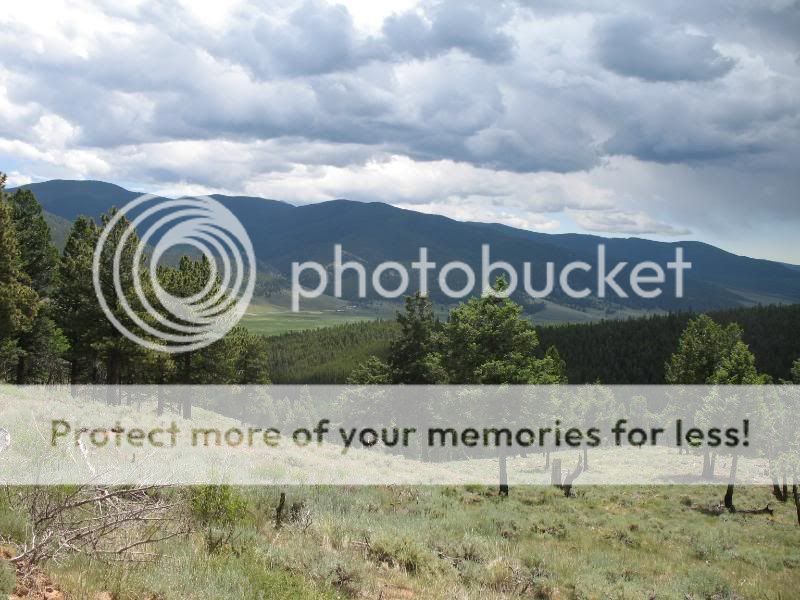
And the storm clouds were beginning to build more and more.
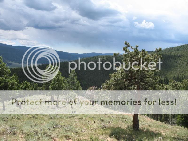
The top of Black Sage Pass was shaded by trees, and full of mosquitos who were trying to kill me. So, I took this pic and quickly got back on my bike.
On the other side of Black Sage Pass, the scenery opened up to grasslands.
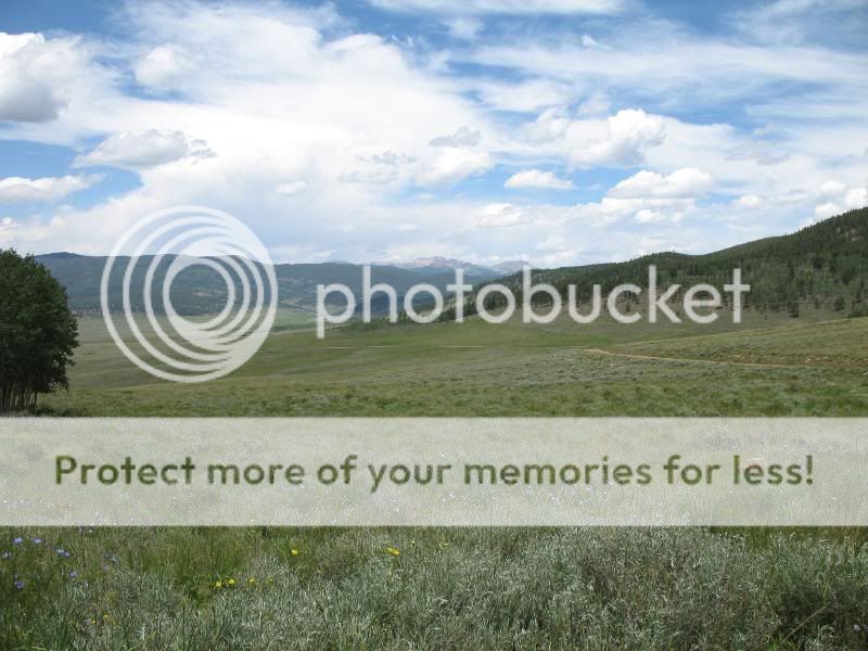
The Tomichi Dome is a notable feature in these parts.
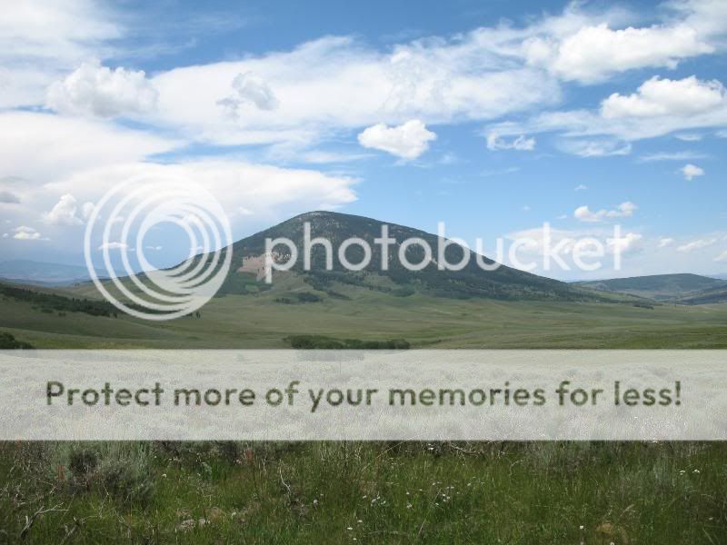
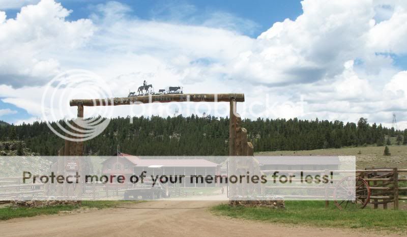
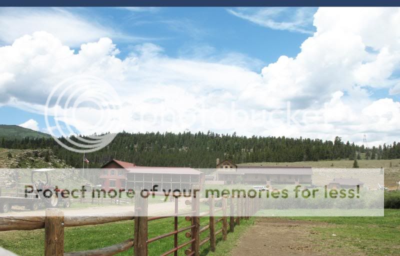
A view of the Wuanita Hot Springs Ranch from afar.
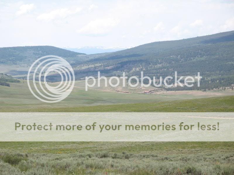
By the time I had reached the Wuanita Hot Springs Ranch, the sky was dark behind me.
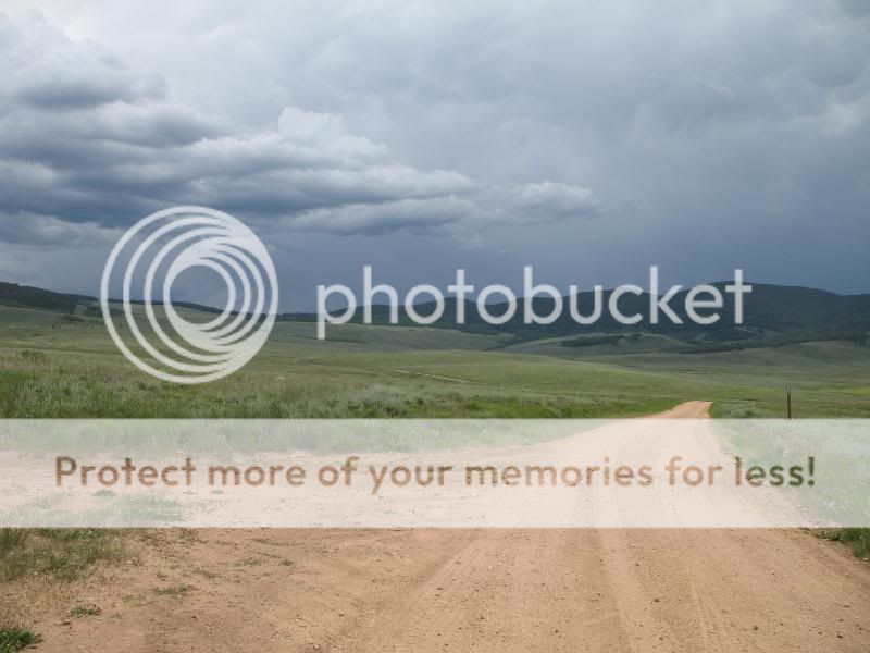
I then headed back up Black Sage Pass, toward the darkness. But, the rain held off, thankfully. When I reached the top of Black Sage Pass, I there were a number of different paths. I decided to try a different way down. On my way up the pass from the campground, I had noticed a small road leading off to the right and wondered where it went. When I saw this road leading down off the top of the pass, I was pretty sure that this connected with the road I’d seen on the way up.
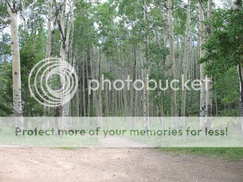
The road had some nice riding.
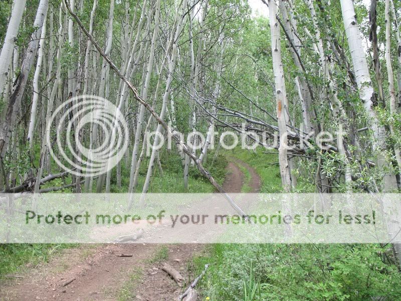
But, eventually, the road lead into “the gnar”. It turned to loose sand with rolling rocks in the middle, constantly slanting to the right, with a ditch often running right in the middle of the road. Under normal non-gimp circumstances, this road would be a fun, technical, yet challenging ride. But, I am still under gimp status. So, I got off my bike and carefully walked my way through the 1/4 to 1/3 of a mile that was this gnar. While doing so, the mosquitoes found me and drank my blood relentlessly. I didn’t feel like lingering so that the mosquitoes could give me some West Nile Virus or something. So, I never took out my camera to take pictures of the gnar.
A little while later, I returned to our cars at the campground. By then, it was just beginning to rain. Perfect timing!
I would rather be riding single track than dirt roads. But, not being able to do so has given me the opportunity to explore some interesting places. I’m still enjoying my rides 🙂
- Mount Buckskin (17 May 2020) - May 28, 2020
- Horseshoe Ski (14 May 2020) – The mountain whose journey nearly killed me - May 27, 2020
- Sayres X-Rated Ski (10 May 2020) - May 19, 2020

Nice ride B.
Are those horse flys & skeeters in military formation on this sign or what?
[img]http://i173.photobucket.com/albums/w74/mtnbikerskierchick/Wuanita%2012July2009/IMG_8664sign.jpg[/img]
I need to get directions for the WP ride from yous twos. Think I’d like to try that this year for my annual bike ride 😉 I see trails going every which direction and in every gulch…
Hahaha! The sign is very peculiar looking, isn’t it? I got a closer look at it, and it’s basically “textured”… although there might as well have been that many mosquitoes or flies on it anyway because they were all over!
You should definitely try riding White Pine! But, be expecting a large hike a bike when climbing to the top. It’s worth it though, as the descent is very fun. Frank can email you directions 🙂
Thanks B. After further review, rereading the TR, recalibrating my reading comprehension and the helpful use of a topo (which actually label drainages – unlike goo-earth) I think I figured it out. 🙂
I end up hike a bike anyway usually on just about any up due to irratated knee. Hence, much of the lack of much biking on my part. But I do like to get in at least one good ride a season.