
Mountain Bike – Milk Creek to CT to Longbranch (8 June 2018)
(Last Updated On: June 20, 2018)
Frank and I operate well with goals. TrailQuest – a challenge to ride 750 unique miles of trails near Crested Butte – has given us a new multi-year goal. Last year, Frank and I rode about 475 miles toward that goal. This year, we hope to complete it, but the miles keep getting harder and harder to accomplish.
While this challenge has led to some epic days on the bike, it’s also taken us to explore some really fantastic trails. I can’t say enough about the area near Cochetopa Hills / Sargents Mesa / Needle Creek, just south of the tiny town of Sargents. There’s some great riding to be had there. And other than the Colorado Trail Segment, you’re likely to be on the trail alone.
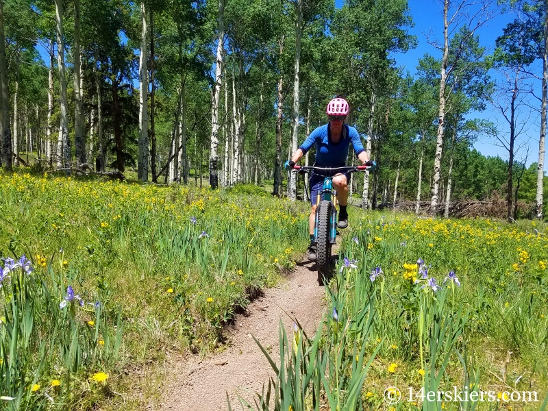
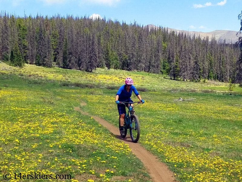
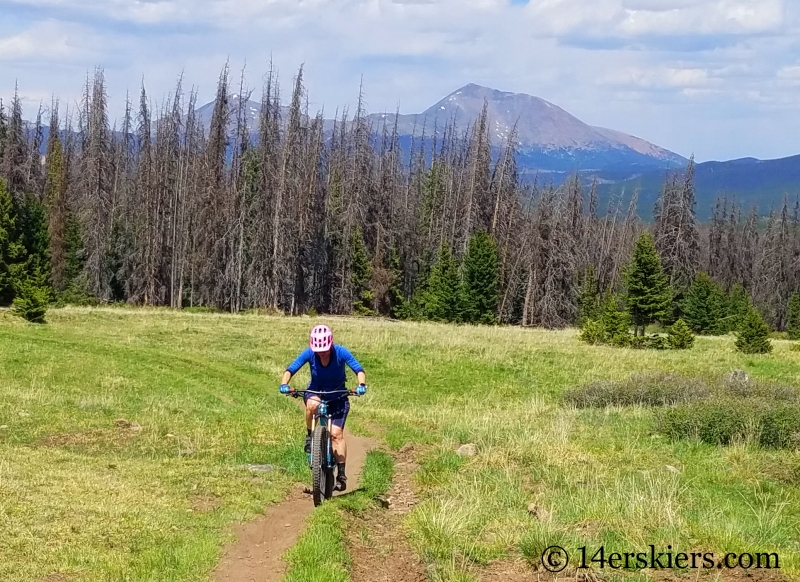
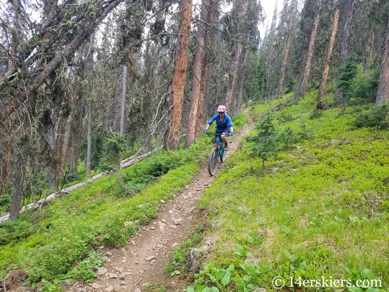
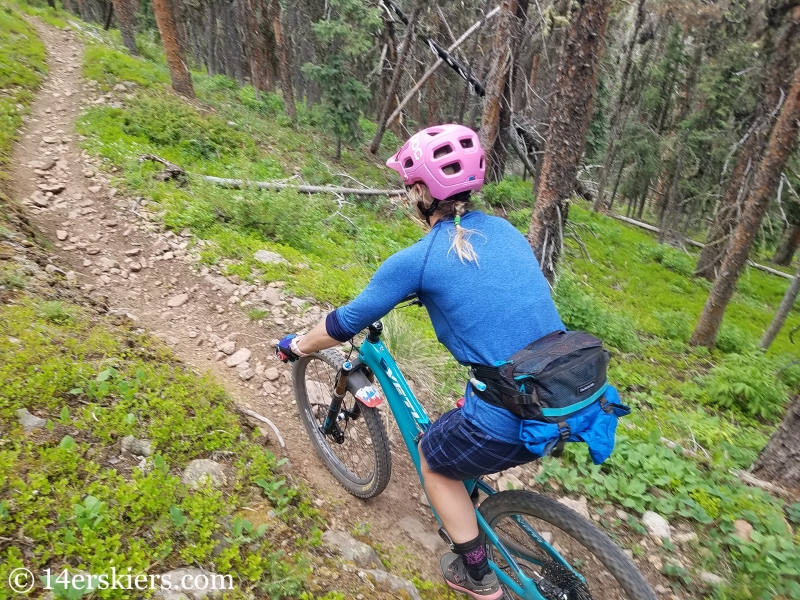
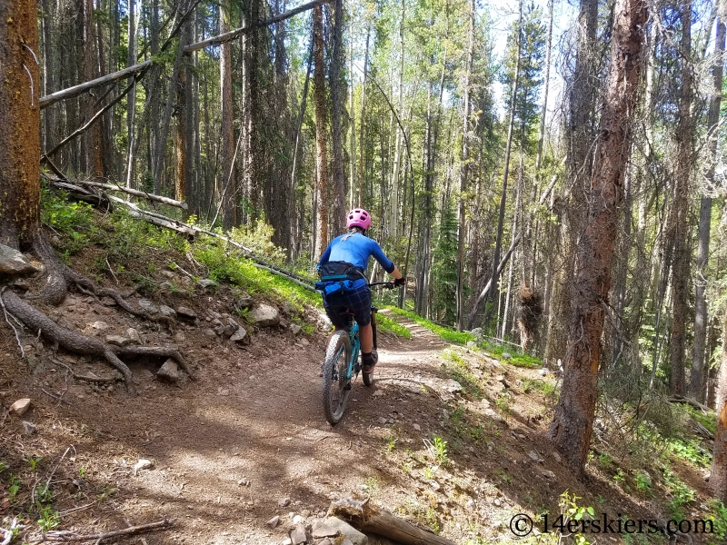
TrailQuest is what led Heather and I to ride another fun loop in this area – Milk Creek to CT to Longbranch. From the profile, Milk Creek looked pretty steep, but it turned out that most of the singletrack was very rideable uphill, and wonderfully beautiful too.
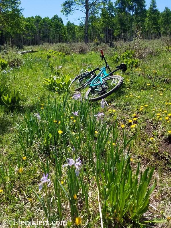

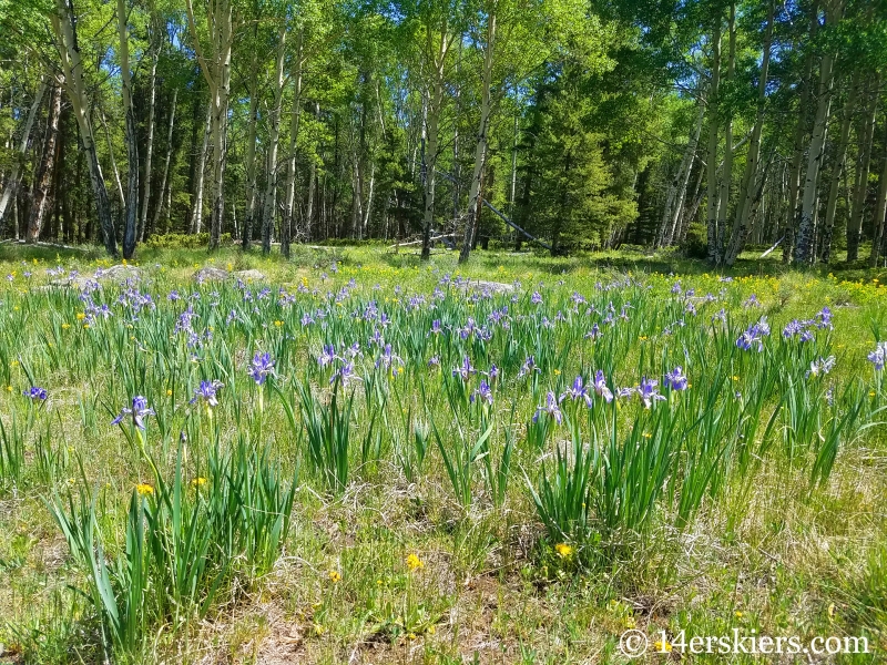
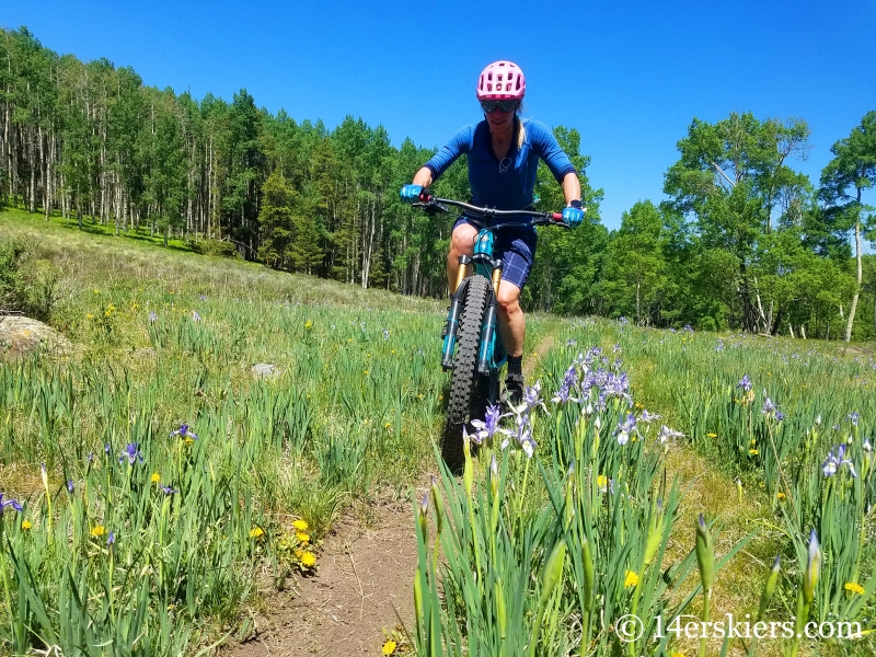
Wild irises greeted us on the trail.
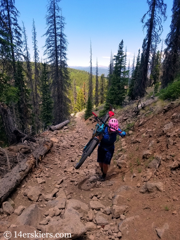
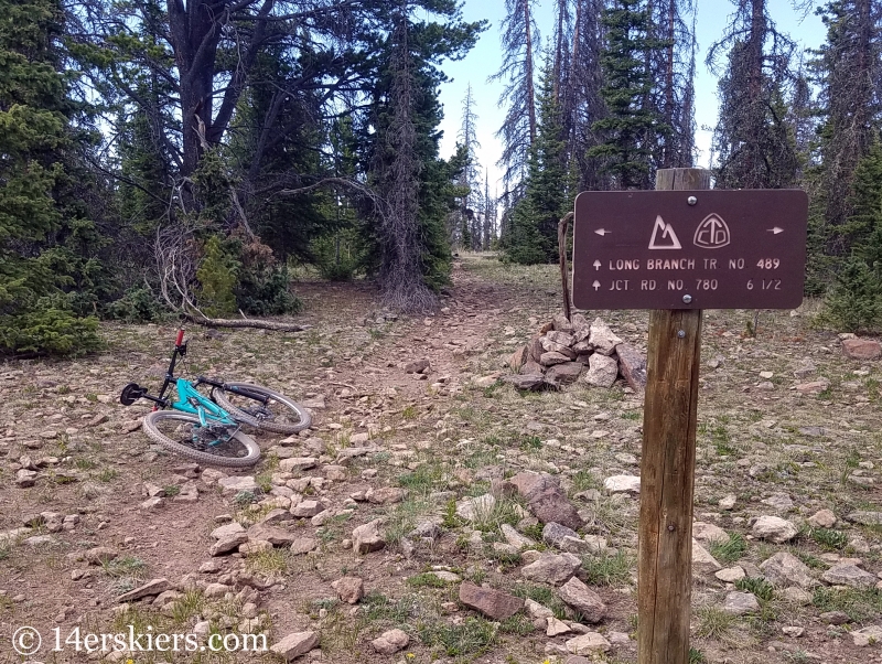
The singletrack led to a road that was treacherous at times. A good hike-a-bike ensued, but it wasn’t too long.
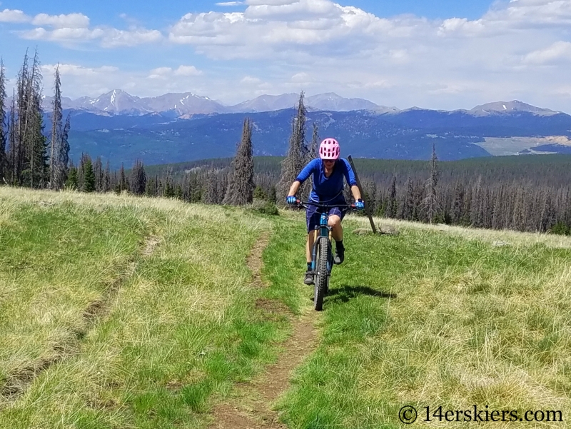
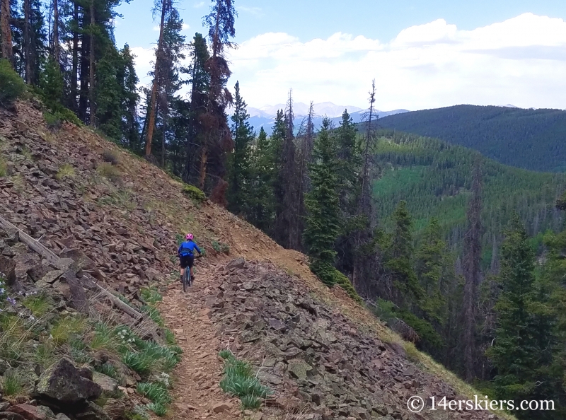
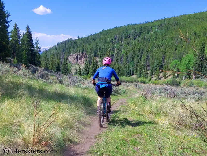
We then met up with the Colorado Trail on Sargents Mesa, which is incredibly scenic.
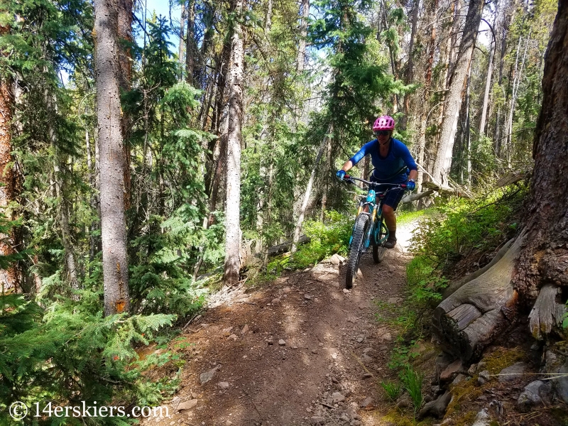
We then descended Longbranch Trail back to Longbranch Guard Station, where we started our ride.
Longbranch is a loose, rocky, but fun descent that lasts for miles.
The bottom of Longbranch opened up to more sagebrush terrain.
This loop was a fun one! Would I do it again? Heck yeah. Although, this is definitely more of an adventure ride of sorts. But, if you want to do it too, see the map below!
Map of Milk Creek to CT to Longbranch Loop
The loop is best ridden in the clockwise direction, starting up Milk Creek from Longbranch Guard Station. This map includes an extra 1.5 mile length on the CT to join Tank Seven Trail, which could easily be excluded.
Brittany Walker Konsella
Latest posts by Brittany Walker Konsella (see all)
- Mount Buckskin (17 May 2020) - May 28, 2020
- Horseshoe Ski (14 May 2020) – The mountain whose journey nearly killed me - May 27, 2020
- Sayres X-Rated Ski (10 May 2020) - May 19, 2020
Hey Brittany, Bo here from Texas. My question is. What kind or computer or app do you use to map your rides? 2nd do you ever post your maps (Ridden) for day rides that you write about? There are quite a few of us that ski CB and Ride CB from Texas. It would be nice to be able to look at a catalog of maps matched to your writing. This would help us (out of staters) go explore new trails that we otherwise would not hit. This might be a book idea for MTBers. I know I love reading your adventures and would like to ride some of the places you go. But being out of staters much limits us to the usual trails because we want to ride as much as possible. If you did something like this it would open up a whole new world for us. It would definitely help people like me with planning rides for a week.
Hi Bo. We use both a computer and apps to plan our rides, depending on the sort of ride. We will actually be having a blog post detailing some of this in the next couple of weeks. But, we have been posting maps along with our rides in the last year or two. Just scroll to the bottom, and check the map! In addition, when you’re visiting Crested Butte, check out the CBG Trails app. It has all the trails we have described on it!