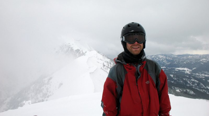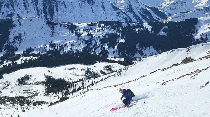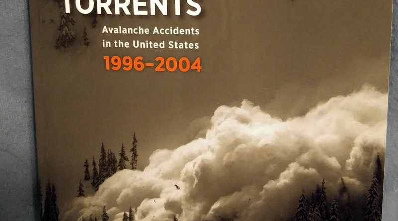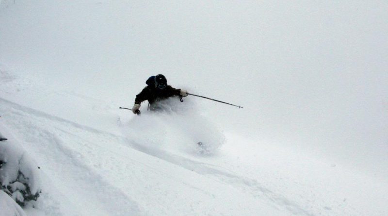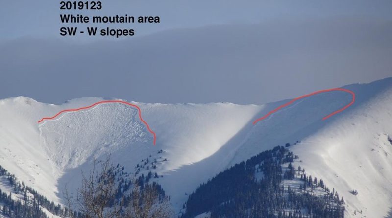
Thoughts on NOT Skiing in the Backcountry.
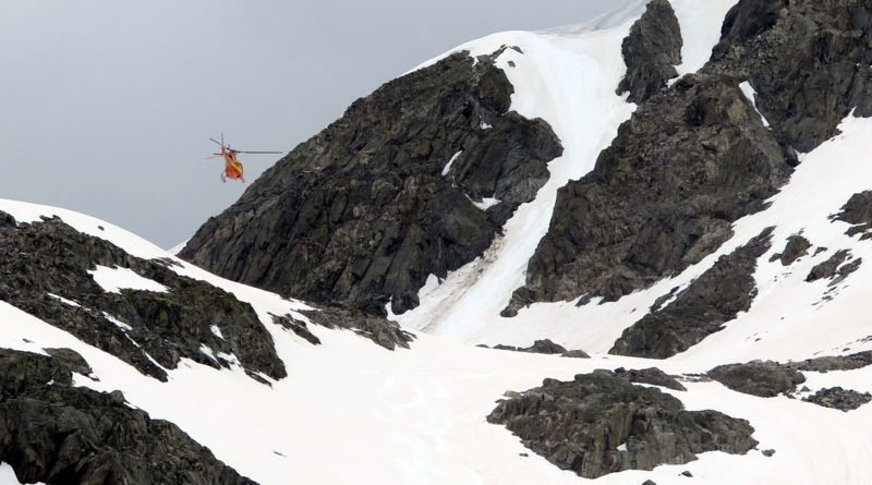
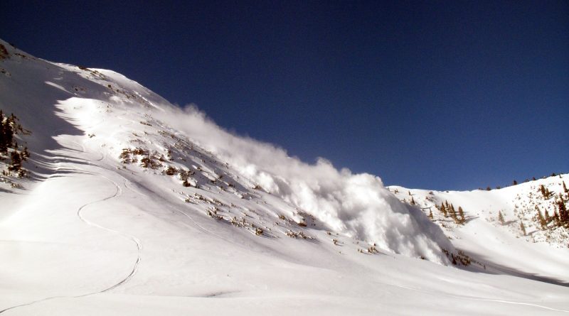
The second half of January resulted in nearly 2 weeks of Crested Butte Avalanche Center forecasts with a rating of at least considerable. Even if you weren’t paying attention to the forecasts, the signs were everywhere and in plain view from highway 135 as well as the ski area- new slides every day.
Read more