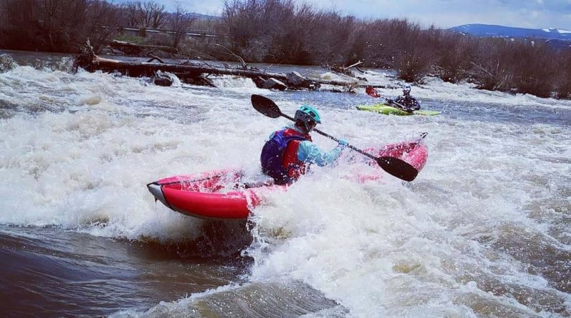
Crested Butte Pole Pedal Paddle Race (28 April 2019)
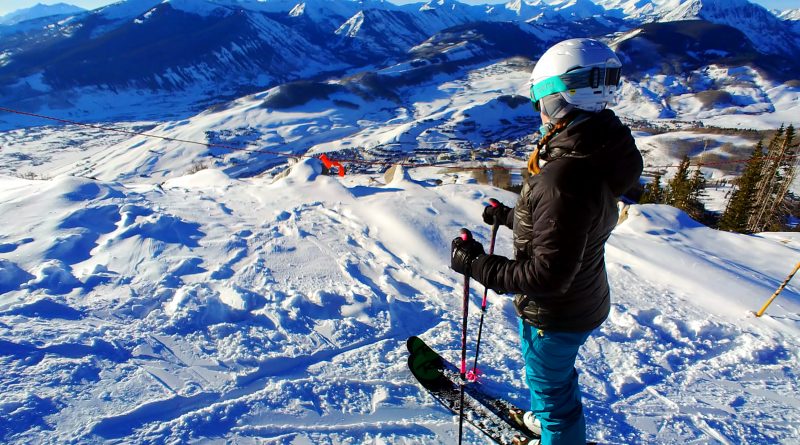
Since the inception of CB3P, I’ve always thought to myself, “I should really do that race someday.” But, it always happens at a time when I’d rather just be backckountry skiing. And, I was also pretty terrified of the “paddle” portion as I have little river experience. But, after I was finally assured that the river section was indeed not too hard, especially if using a duckie, I decided that this year was the year I needed to do it. I even put it in writing, stating I wanted to do it on my 2019 Bucket List. See, that’s the thing. Sometimes just putting a goal in writing makes me want to achieve it even more.
Read more